‘It’s hard to imagine the fires of July’: a bike ride through the Cairngorms in Scotland | Travel
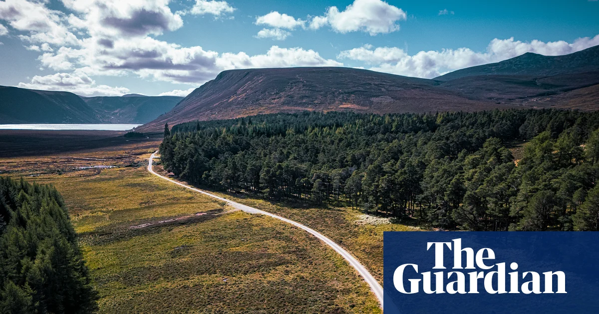
In the Cairngorms national park, the bracken is changing from dark green to russet and umber. Birch leaves are lined with gold, while the Scots pines remain proudly green. Autumn is arriving with a little sigh of relief here, after a summer few will forget.
The wildfire that began near Glenmore and Abernethy on 15 July burned more than 33 sq km (13 sq miles) of moorland and forest. More than 500 firefighters were involved; homes and businesses were evacuated; and the emergency response lasted over a month. Visiting now, it’s hard to see, or even imagine, the damage. Much of the burned area is high on the hill and far from the roads. It’s a huge loss but, in a national park stretching 4,528 sq km (1,748 sq miles), surprisingly easy to miss.
I have come with a gravel bike to retest new bikepacking routes with Kees Wouters and Yannick Ferbeek from Legendary Rides, which offers self-guided tours, and Bikepacking Scotland founder Markus Stitz, who helped develop the routes.
I arrive in Aviemore from Edinburgh on an electric Ember bus, which allows bikes to be booked on board, a welcome development in Scottish public transport. Soon I’m heading out of town through heather and Scots pines, my bike bags stuffed with everything I need for the next few days.
The original route would have taken us through Glenmore, past Loch Morlich and Ryvoan bothy, but there are still path closures. Instead, we take a new line towards Nethy Bridge. Sunlight falls through birch and rowan and the track is soft with pine needles. At Loch Garten, where ospreys nest in spring and summer, it is hard to imagine the smoke and helicopters of July.
Graham Niven lives in Nethy Bridge with his wife, Amy, and runs the self-catering business Arbor Nethy beside the forest. He joined the local volunteer firefighting effort coordinated by the RSPB, part of a huge community response. “We see the forest as an extension of our home,” Graham says. The Abernethy forest is ecologically rich, filled with ancient Caledonian pine trees that are hundreds of years old. “It’s a unique and special habitat, and it’s very fragile. We were all just grieving for the forest,” he tells me.
The news cycle has long moved on, but locals are still dealing with the effects of the wildfire. “Only in the last few weeks have we been able to look back on it as something that’s come to an end,” Graham says. Peat smouldered underground for months, meaning firefighters had to keep returning to hotspots.
While business has largely returned to usual, Graham has noticed a dip in bookings for photography workshops and holiday lets. “What is less measurable is people’s confidence in booking or coming back. The buzzwords were ‘apocalyptic fire’ and Abernethy and Nethy Bridge, Cairngorms, and that does stick in people’s minds. People think of Abernethy and say: ‘Oh, it’s been burned down.’ I think it’s less than 10% of the old forest affected.” Nearby, Polly Cameron at The Dell of Abernethy has seen the same effect: “Bookings wise, we certainly experienced a dip, and October has still been much slower to fill.” That matters in a landscape where tourism is a vital part of the local economy.
We ride on along the Speyside Way, following the river through woods and farmland. Then the landscape opens. The Cairngorms change character as you head east: deep forests give way to sheep, grouse moors, abandoned crofts and long gravel roads. This is whisky country too, and we ride through the grounds of Glenlivet Distillery. It’s after hours, or the smell of malted barley would have tempted me to stop.
By late afternoon the hills have turned heather-purple. We started late and by the time we reach Hotel Square in Tomintoul, darkness has settled. Our bikes go into a storage room and, happily, hot curry and cold beer are still available.
The next day is shorter but steeper, taking us on to sections of the old military roads built in the 18th century after the Jacobite risings. I’m reminded of that history later at Corgarff, a white fortress on the crest of a hill. Built in the 16th century and later converted into a barracks, it was used to suppress Jacobite sympathisers and, later, the illicit whisky trade.
We spend the second night at Cairngorm Bothies, off-grid cabins surrounded by Scots pines. In each, there’s a little nature journal and I leaf through pages of children’s handwriting with tales of red squirrels and deer. When the rain starts, any disappointment about missing out on seeing the dark skies is replaced by relief not to be camping.
With a flexible route we stop often, for photos, snacks and whenever the fancy takes us. We walk through woodland to visit Burn O’Vat, a huge glacial pothole in the Muir of Dinnet national nature reserve. At Ballater we stop for coffee and morning rolls at The Bothy while one of our group gets a quick bike repair. The route is deliberately forgiving, and Legendary Rides provides shorter alternatives for challenging weather or tired legs, with prebooked accommodation, a personalised plan, GPX routes and WhatsApp support. “It allows you to relax and just enjoy the ride,” says Yannick.
From Ballater we wind towards Loch Muick, through the Balmoral estate. After a long, winding ascent over Capel Mounth the riding becomes rougher, with a rocky descent. The gentle undulating roads that follow to Glen Clova are a welcome contrast as we roll to Alyth.
I’ve visited the Cairngorms region often in the past, but this trip broadens my awareness of the diversity of landscapes it holds. To mountain peaks and forest trails I add river valleys, whisky country, high moorland, farmland and roads so empty that the only sound is the freewheel of a bicycle.
But this is not untouched wilderness. We cross private estates managed for deer stalking and grouse shooting, as well as national nature reserves. Debates over the right ways to manage this land span centuries, with wildfire prevention now a key part of that conversation. Scotland’s right to responsible access allows us to pass through this landscape, provided we leave no trace, close gates and avoid disturbing livestock and wildlife.
Autumn is an ideal time for this kind of journey. The midges have retreated, the roads are emptier and there is still plenty of golden light in the days. Cycling through the area helps to support local cafes, shops and accommodation providers, and there’s never been a better time to do so. “We want people to know we’re still here, we’re still awesome,” says Graham.
My tired legs power me to a final Pitlochry cafe stop before my Ember bus back to Edinburgh.
The trip was provided by Legendary Rides and Bikepacking Scotland. Legendary Rides offers four-day bikepacking trips from £759pp, including detailed route planning, accommodation, breakfast and personal support via WhatsApp