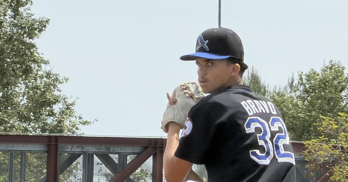
Crescenta Valley High found its new QB in a strange way
Paul Schilling has taken over as football coach at Crescenta Valley High, and one of his first decisions was turning running back Julian Savery into a quarterback.
It’s not as if Savery, a 5-foot-11, 200-pound senior, was giving hints he wanted to play quarterback last season. In fact, he missed all of 2025 because of a torn anterior cruciate ligament injury suffered when he went up for a rebound and had his knee collapse playing pickup basketball at the YMCA on Valentine’s Day.
“I should have had a date,” Savery said.
Savery has always enjoyed using his size to run over tacklers. He last played quarterback in eighth grade for flag football and decided to help himself recover faster from his knee injury by practicing throwing a football when he couldn’t run. Schilling liked what he saw and gave him a chance in the spring. The Falcons are thrilled with his progress. He’s got speed and a good arm.
Savery declared his basketball career is over.
“Never again,” he said.
Birmingham looks for balance
City Section football will be all about whether any team can improve enough to challenge defending champion Carson.

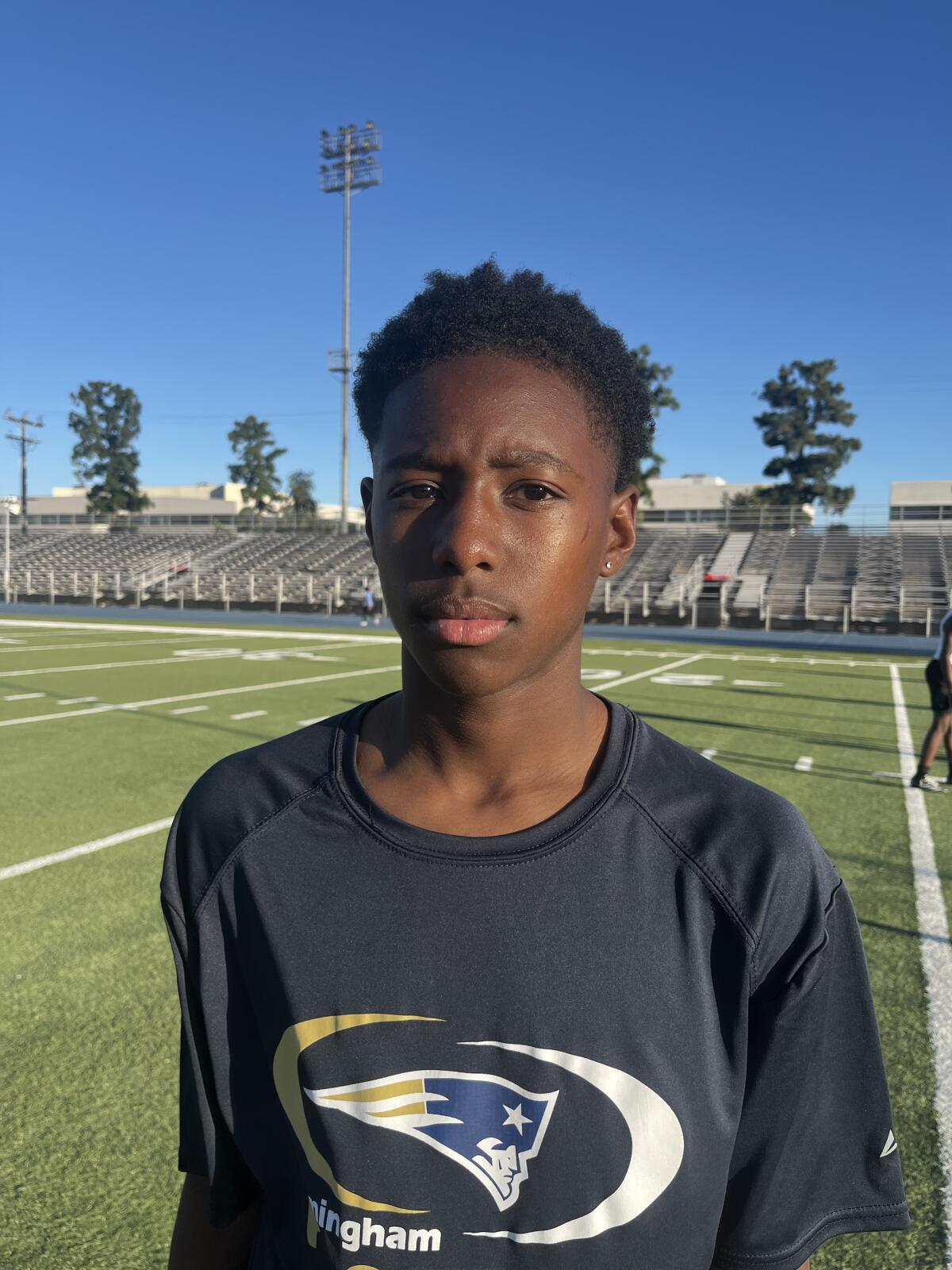
Freshman quarterback Exavier Johnson of Birmingham High is the son of a former City Section passing standout.
(Birmingham HS)
Birmingham once relied on offensive balance to be the City Section’s top football team. Carson has surpassed the Patriots, but Birmingham is hoping to fix its passing game this season.
The Patriots certainly have one of their best group of receivers, led by Paul Turner, who has speed and big-play ability. He averaged 24.5 yards per catch as a junior. Hayden Schuler has transferred from Sierra Canyon. He ran the 100 meters in 10.93 seconds as a freshman. Nathan Chandler made lots of progress as a freshman.
The likely starter at quarterback at the beginning of the season is junior Daniel Kakooza, but by season’s end, beware of freshman Exavier Johnson, whose father with the same first name was a standout quarterback at Birmingham and Taft.
The Patriots played in the Saugus passing tournament last weekend, and coach Jim Rose said, “The passing attack already looks better than last season.”
Five former head coaches on Simi Valley staff

Former Thousand Oaks coach Bob Richards turns 84 in August and serves as an assistant at Simi Valley.
(Eric Sondheimer / Los Angeles Times)
Bob Richards turns 84 in August. He has nine grandchildren and continues to help out as an assistant coach at Simi Valley. He coached for 28 years at Thousand Oaks, including 12 as head coach until his “retirement” in 1995.
Simi Valley coach Jim Benkert has surrounded himself with five former head coaches on his staff — Richards, Dion Lambert (Granada Hills Kennedy), Richard Fong (L.A. Baptist), Justin Berenson (Buena) and Jason Sabolic (El Camino Real).
“It’s so much fun,” Sabolic said.
Run stopper

Gabe Degl’Innocenti of Hart High is a nose tackle who has completed a 640-pound squat in the weight room.
(Eric Sondheimer / Los Angeles Times)
If teams want to run on Hart this season, they’ll have to get past 5-11, 260-pound Gabe Degl’Innocenti.
“He’s full of athleticism and is as strong as an ox,” coach Jake Goossen-Brown said.
He can squat 640 pounds, which puts him on another level in the weight room.
Sierra Canyon will play its first girls’ flag football game this fall in the fourth year of the CIF-sanctioned sport. The Trailblazers are already armed with the best two returning players from Orange County transferring to the school.

Ava Irwin (2) celebrates with her teammates after catching two touchdown passes in JSerra’s 25-20 victory over Orange Lutheran for the Southern Section Division 1 flag football title on Nov. 8, 2025. (Steve Galluzzo / For The Times)
(Steve Galluzzo)
Receiver Ava Irwin, the Southern Section Division 1 player of the year last season for Division 1 champion JSerra, and quarterback Makena Cook from runner-up Orange Lutheran have enrolled at Sierra Canyon, which hired Camarillo’s Michaeltore Smith as its first flag football coach.
Notes
Sherman Oaks Notre Dame has been able to convince standout safety and top athlete Tahj Skinner to play quarterback this season. He was running plays on Saturday at the Simi Valley tournament. …
The Westlake receiving duo of Charles Davis and Demare Dezeurn, both committed to California, will be difficult to stop because you can’t double team both. …
The Edison Battle at the Beach seven-on-seven passing tournament is scheduled for July 11 and has the best collection of top teams of any summer event, including St. John Bosco, Santa Margarita, Mission Viejo, Corona Centennial, Servite and Palos Verdes. There is no entry fee but parking costs $20. In other words, find a parking spot on the street. …
Paraclete quarterback Shawn Sanders, a transfer from St. Francis, is also a top kicker with range beyond 50 yards. He suffered two broken collarbones last season. Call him the “Bionic Man” because that collarbone is so strong right now without the aid of surgery. …
There were two promising freshmen quarterbacks debuting at the Simi Valley tournament in backup roles — Hendrix Tucker of Westlake and West Dunton of Sherman Oaks Notre Dame.