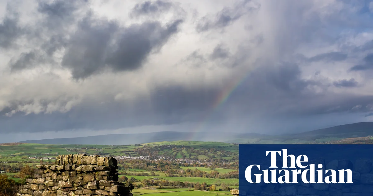
trail

Beyond Bradford and the Brontës – new walking trail shows West Yorkshire’s natural beauty | Walking holidays

A grainy photograph, dated 1938, hangs in a frame on the downstairs wall of my B&B. It shows 100, perhaps 200, elegantly attired trippers sitting on the green at Shipley Glen in West Yorkshire. They’re picnicking, chatting, taking the air and enjoying the sunshine, while admiring the rocks and woods that frame the deep gully below. It’s local, low-carbon, cheap-as-chips tourism before the jet age – and also a model for how we may travel in the future.

I arrived here thanks to a new trail, launching on 19 September, that runs through the also newly established Bradford Pennine Gateway national nature reserve – astonishingly, the first reserve of this kind to be created in West Yorkshire. The trail uses almost the same name and is a savvy bit of sustainable planning, connecting the three towns of Ilkley, Saltaire and Haworth but, by appealing to walkers, hopefully inspiring people to explore beyond the confines of these honeypots.

I began at Ilkley on a Monday morning. I’d been on its moor once before, for a long circular hike. But I actually prefer linear walks, and it felt like a challenge to start out by crossing the moor. The first half hour was all upward, with lots of stone staircases and some steep sections. A hovering kestrel welcomed me to the top as a reward.

In fact, the great ridge of moorland above Ilkley is called Rombalds Moor; named after a legendary giant, and which comprises several named moors. I tramped across Ilkley, Burley and Bingley moors in a single lunge, stopping only a few times to drink water, take in the massive views back to the “golf ball” radomes of RAF Menwith Hill near Harrogate, over to Leeds – increasingly a high-rise city – and down to the Emley Moor transmitter near Wakefield (the tallest freestanding structure in the UK), and to admire the Twelve Apostles stone circle near the summit.

Twelve Apostles stone circle on Burley Moor. Photograph: Mark Sunderland Photography/Alamy

I had an easy downward stroll before ascending, more gently this time, to the shoulder of Baildon Moor. The vegetation on these moors is mainly heather (pinkish purple now), dense swathes of bracken, tough upland grasses and peat bog, broken up by gritstone outcrops. The NNR designation recognises that it is an area rich in biodiversity, for flora and fauna, and that it plays an important role in tackling challenges like the climate crisis, floods and wildfires. I was walking more than I was watching, but I clocked skylarks, meadow pipits, wheatears, swallows and, on the south side of Baildon, a colony of tree sparrows. As well as clusters of forestry conifers, there were patches of native trees, including birch, rowan and elder, and the occasional willow. Though it’s not wild all the way: I passed tourist chalets, crossed a few fast roads, and walked through a busy golf course (where there were benches, few and far between on the first half of the trail).

The moors are dotted with human history. A big hole, like a meteor crater, turned out to be an abandoned pit, for extracting coal in the preindustrial era. Signage and traces in the landscape point to second world war tank training. Quarries litter the moorlands and dry-stone walls and extensive ditches point to centuries of management.

The trail is 18 miles (28.9km) long. I could probably have walked it in a day with a bit of effort. I’m glad I didn’t, not least because Shipley Glen was a revelation. Despite having visited nearby Saltaire several times, I’d never gone up the hill to see the ravine, which probably became a “glen” because it sounded Scottish and picturesque. For more than a century and a half, it has served many purposes: as a place for radical rallies and suffragettes’ meetings, a temperance hotel and teashop, Victorian pleasure gardens and quirky amusements and rides – and a tramway, opened in 1895, which still operates. I recommend breaking the walk here, even if it’s not quite a midpoint, because the setting is glorious; Bracken Hall House is a gorgeous B&B (doubles from £110 a night), and Saltaire is full of art, industrial history, and great food and drink. There are benches beside the glen, if you decided to pause for a picnic.

While overnighting, I met Danny Jackson, the former countryside and rights of way manager for Bradford council, who devised and plotted the trail. “I want to change people’s perceptions of what Bradford is,” he said. “It’s not just a city. It’s a district. And it’s very rural.

At the top of Bingley Five Rise Locks. Photograph: Ros Crosland/Alamy

“I also want to highlight things that are overlooked. Through the NNR and the trail, we want to maximise the benefits from air quality, carbon capture, wildfire and flood reduction, rewetting, peat restoration – and obviously all the health benefits from being outdoors.”

From Shipley Glen, I walked on via a series of nature-rich spots to Haworth. The first, Trench Meadows, is a Site of Special Scientific Interest (SSSI), notable for its grasses and wildflowers, including red fescue, sweet vernal and crested dog’s-tail. The path took me through an elaborate beautiful old kissing gate, and along cobbled and flagged paths; Victorians and Edwardians made their footpaths beautiful as well as functional – and built them to last.

I passed through Bingley by way of several smart housing estates above the town. I recalled John Braine’s 1957 novel, Room at the Top, set precisely in these airy heights; the novelist renamed it “Warley”, perhaps to make more locally innocuous his tale of social-climbing and adultery. The trail takes in the Five Rise Locks and Three Rise Locks sections of the Leeds-Liverpool canal, which I had only ever spied from the main road. Between the two lock-ladders is Bingley North Bog – a small but precious site that supports a variety of insects, birds and amphibians.

Over the previous 10 miles or so, I’d swapped Wharfedale for Airedale and now found myself walking along attractive stretches of the River Aire. At Bingley St Ives, I skirted a large pond full of waders, another golf club and a large equestrian centre; some mouldering old properties had ecclesiastical-looking doorways, perhaps harking back to the pre-dissolution period when the estate was in the hands of Rievaulx Abbey and Drax Priory. A splendid hide has been built where you can watch bullfinches, goldcrests and siskins that come to use the feeders.

A cobbled street in Haworth – once home to the Brontë sisters. Photograph: Steve Swis/Getty Images

I got my first proper blast of a west wind on Harden Moor – the third of the day’s special sites, being a very rare dry heath alongside mixed woodland, and an ideal habitat for bees (including the nationally scarce tormentil mining bee), wasps, spiders, flies, grasshoppers and other invertebrates. With Haworth now on my mind, slightly irritating Kate Bush-related earworms began to wriggle. I had a cheese butty and tea at a suitably Heathcliffian area called Catstones End, all wild heather and quarried rocks – with huge boulders forming natural sculptures.

Rain came in with the wind and I got absolutely drenched on the final approach to Haworth. But soon after, I was entering Bradford’s prettiest township and thinking about coffee and cake. The walk officially ends at Penistone Hill country park, but after taking walking therapy a few years ago, I am no longer a completist – and was satisfied with my walk and mini achievement. I bowed out on Haworth high street, without so much as a glance at the Brontë Parsonage Museum.

The visit was supported by Bradford Culture Company, which is developing projects related to the 2025 UK City of Culture

Ilkley, Saltaire and Haworth are easy to reach by train or bus. If arriving by car, park at Keighley and use the 62 bus to get to Ilkley and the B1, B2 and B3 Brontëbuses to travel from Haworth back to Keighley

Source link

‘It was a tsunami’: Floods leave death trail in India’s Assam | Floods News

Assam, India – Debiram Panika, a 37-year-old daily wage labourer from northeastern India’s Assam state, would speak to his wife and two daughters on video calls every day from Dimapur, a town in neighbouring Nagaland state where he worked.

But when his phone rang at about 11am on July 19, there was panic in the voice of his 30-year-old wife, Dipika.

Recommended Stories

list of 3 itemsend of list

“I could only see my wife telling me on the video call, ‘This is it for us. We are going to die,’ before the call was disconnected,” Panika recalled, speaking to Al Jazeera.

It was the last time they spoke. Moments later, rising waters from the nearby Dikhow River, which snakes past their village in Assam’s Sivasagar district, surged into their bamboo-and-mud home with a ferocious current and swept away Dipika and four-year-old daughter Radhika.

“The water came flooding like sea waves, and they were gone in a flash,” Panika said, as he stood in front of the ruined home he has since returned to.

Sivasagar is part of the eastern Assam region, also referred to as Upper Assam. Incessant rains between July 18 and July 20 submerged the region and the neighbouring Naga Hills of Nagaland.

Monsoon floods usually impact northern and western Assam, and parts of central Assam, the worst. But several Nagaland districts bordering Upper Assam received heavy rainfall on those three days, leading to dozens of landslides. This intense run-off swelled Naga Hills-origin rivers and caused devastation downstream.

The resultant floods killed more than 100 people, destroyed 2,700 villages, and displaced 700,000 people across the state. The state government says 1.2 million people were impacted in all, their lives disrupted.

Most waters have since receded, but Radhika’s body is yet to be found.

“I look for Radhika every day in the bushes, tirelessly,” Panika said, holding back his tears. “Her last words, calling me ‘Papa’, are still reverberating in my ears.”

Panika’s other daughter, Ridhika, 10, was at a relative’s place a few metres away when her mother and sister were swept away by the flood. Ridhika held onto a bamboo bush and was later rescued by locals.

A car buried in silt in front of a home affected by floodwater in Sivasagar in India's Assam [Arshad Ahmed/Al Jazeera]
A car buried in silt in front of a home affected by floodwater in Sivasagar in India’s Assam [Arshad Ahmed/Al Jazeera]

‘Apocalyptic event’

Several riverine villages in Sivasagar have been wrecked by debris carried down by the waters of the Dikhow from the surrounding Naga Hills.

Tens of thousands of tree trunks lie piled up in places that used to be homes, as lush rice fields, the main source of livelihood, have been washed away.

Kukil Das, a 30-year-old Facebook vlogger in Debiram’s village of Nepali Khuti, told Al Jazeera that “the torrent of the flood was like an apocalyptic event seen in the movies.

“Trees as tall as 30 to 40 metres (100-130ft) came down from the hills, flooding the river, and wiped out everything as they crashed against our homes,” he said. “There is no home left. It was a tsunami.”

Das and his friend Shravan Prasad, from the neighbouring Bihubor village, said they saved at least 1,000 lives by using boats the two villages had at that time.

“We put together a group of friends with the seven boats and started rescuing people turn by turn for two days and nights without food and water,” Prasad said.

Das said the floods forced residents to take shelter on the roofs of concrete homes they could find, as cries for help and the sounds of the river washing away homes echoed in the neighbourhood.

Laxmi Sharma, who owned one such concrete house, said she provided shelter to at least 60 people on her terrace after the river water gushed into Nepali Khuti.

“People ran towards the roof of my building. We thought we were going to die,” Sharma, 46, told Al Jazeera. “But it is a miracle that we are still alive even though my house was barely out of water.”

Not everyone could escape the flood’s wrath, though.

In Sivasagar’s Simaluguri village, two friends – Reihana Ahmed, a Muslim, and Ratul Swarna, a Hindu, both in their 30s – were swept away in the torrent.

When Ahmed, a mother of two, was drowning as the deluge entered her village, Swarna, who did not know how to swim, jumped to save her without thinking about his life.

The two friends were later found dead in the paddy fields. “It was humanity that won in a disaster like this,” Ahmed’s husband Aminul Haque said with a sorrowful smile.

Asor Ali, 75, in Prajabasti, a flood-affected village in Assam, India [Arshad Ahmad/Al Jazeera]

‘Human-made flood’

Besides the eroding banks of the Dikhow River in Prajabasti, another flood-affected village, 75-year-old Asor Ali sat in disbelief next to his wife, Jamila Khatun.

“Even the generations preceding me have not seen a flood like this,” he said, staring at the flowing river. “Even the 1950s earthquake that triggered the floods here did not do so much damage.”

A magnitude 8.6 earthquake hit Assam and Tibet across the border in 1950, altering the region’s riverine system. Nearly 5,000 people died. Since then, Assam has witnessed frequent floods, which intensify during the monsoons, says Mirza Zulfiqur Rahman, a researcher on the basin of the Brahmaputra, the region’s major river: The Naga Hills rivers that flooded Upper Assam are its tributaries.

But residents say this year’s deadly deluge is not just a natural phenomenon.

Biren Gogoi, 43, says rampant stone and sand mining in regional rivers, coupled with aggressive deforestation and coal extraction in Nagaland’s Mon district, triggered the devastation.

Global Nature Watch, an open-source online platform that provides real-time data on deforestation across the world, showed that Nagaland lost 14 percent of its tree cover between 2002 and 2025, with Mon district bordering Assam’s Sivasagar being the most affected.

According to the latest report published in 2023 by the Forest Survey of India, Nagaland has lost about 794.88 square kilometres (306.9 square miles) of forest cover between 2013 and 2023.

Al Jazeera travelled along the Assam-Nagaland border and saw signs of deforestation on the hills and mining activities in both the states. Satellite images also confirmed rampant coal mining in Nagaland’s Mon district, and stone mining crushers on Assam’s side, especially in Bihubor, one of the epicentres of the Assam flood.

While Mon’s Deputy Commissioner Wennyei Konyak acknowledged the possibility of illegal mining in the district, he added that the land was protected under Indian laws to uphold the rights of Indigenous tribes, and therefore government interference in the area was limited.

“I would not blame mining activities for the flood. It was just the wrath of nature,” he told Al Jazeera.

But experts and political leaders in Assam say mining played a direct role in the floods.

Debabrata Saikia of the opposition Congress party, who is the legislator from Sivasagar constituency, accused Assam’s governing Bharatiya Janata Party (BJP) of allowing illegal excavations for stone and sand on the Dikhow riverbank, resulting in a cratered wasteland that worsened the floods.

“This unchecked plundering of riverbeds and hills under the ruling government has engineered this into a man-made disaster,” Saikia told Al Jazeera.

Assam Chief Minister Himanta Biswa Sarma, however, rejected the allegation on August 4, blaming excessive rainfall in Nagaland for triggering the Upper Assam deluge. On August 14, Ranoj Pegu, a cabinet minister in the state’s BJP government, blamed erratic rainfall due to climate change for the deluge.

Rahman, the Brahmaputra river basin researcher, believes that while the climate crisis played a role, the flood was “purely human-made”, caused by the fracturing of the landscape.

“The unrestrained stone extraction from the Dikhow riverbed has damaged the river’s natural cushion,” Rahman said. “That means the river loses the capacity to resist high flows of torrents that break embankments and cause floods.”

An official document from 2022, seen by Al Jazeera, also highlights mining as a factor in possible large-scale floods downstream on the Assam side.

Al Jazeera reached out to senior district officials in Sivasagar as well as state government officials for their comments on allegations of unchecked coal mining but did not get any response.

Back in Prajabasti village, Ali, the septuagenarian, is mentally preparing himself for future floods.

“It will happen again, so long as there is greed for land and coal in humans,” he said. “Nature pays them back.”

Source link