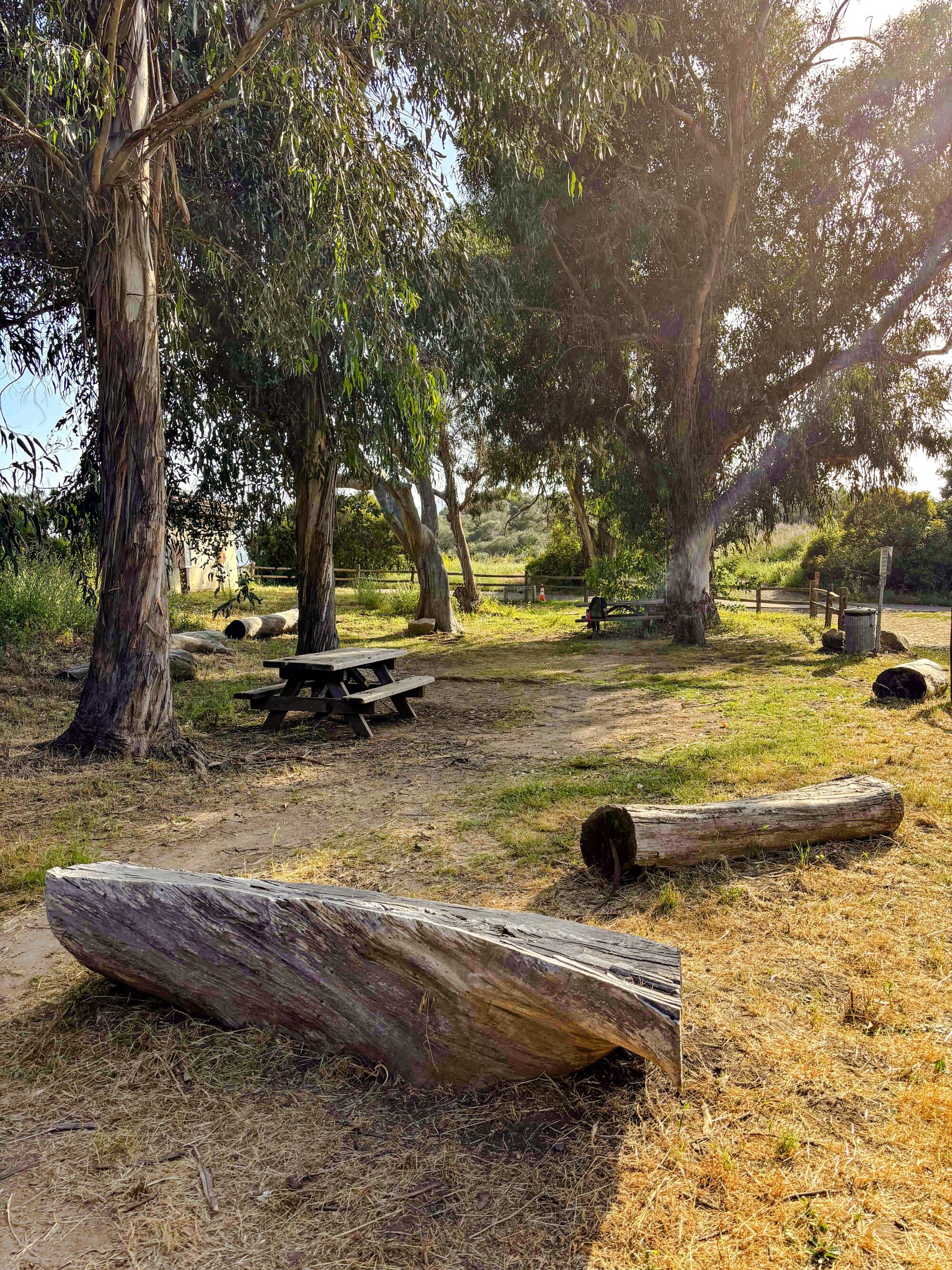
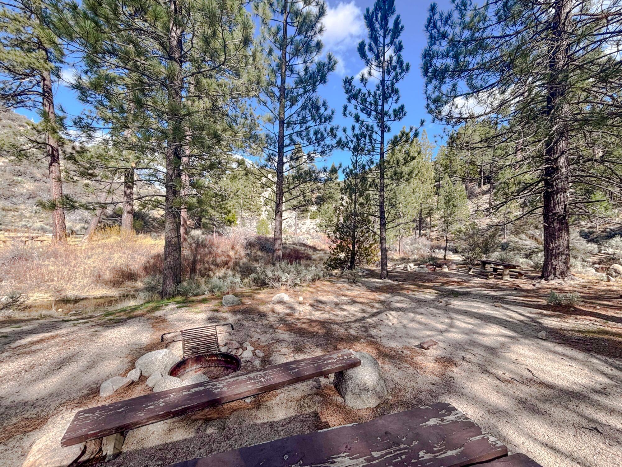
How trails are recovering from the Eaton and Palisades fires
Eaton Canyon and adjacent federal land that burned in the January wildfires in L.A. County will remain closed through 2026 and maybe longer given the extensive damage caused by the Eaton fire and subsequent flooding, county officials said during a recent news conference.
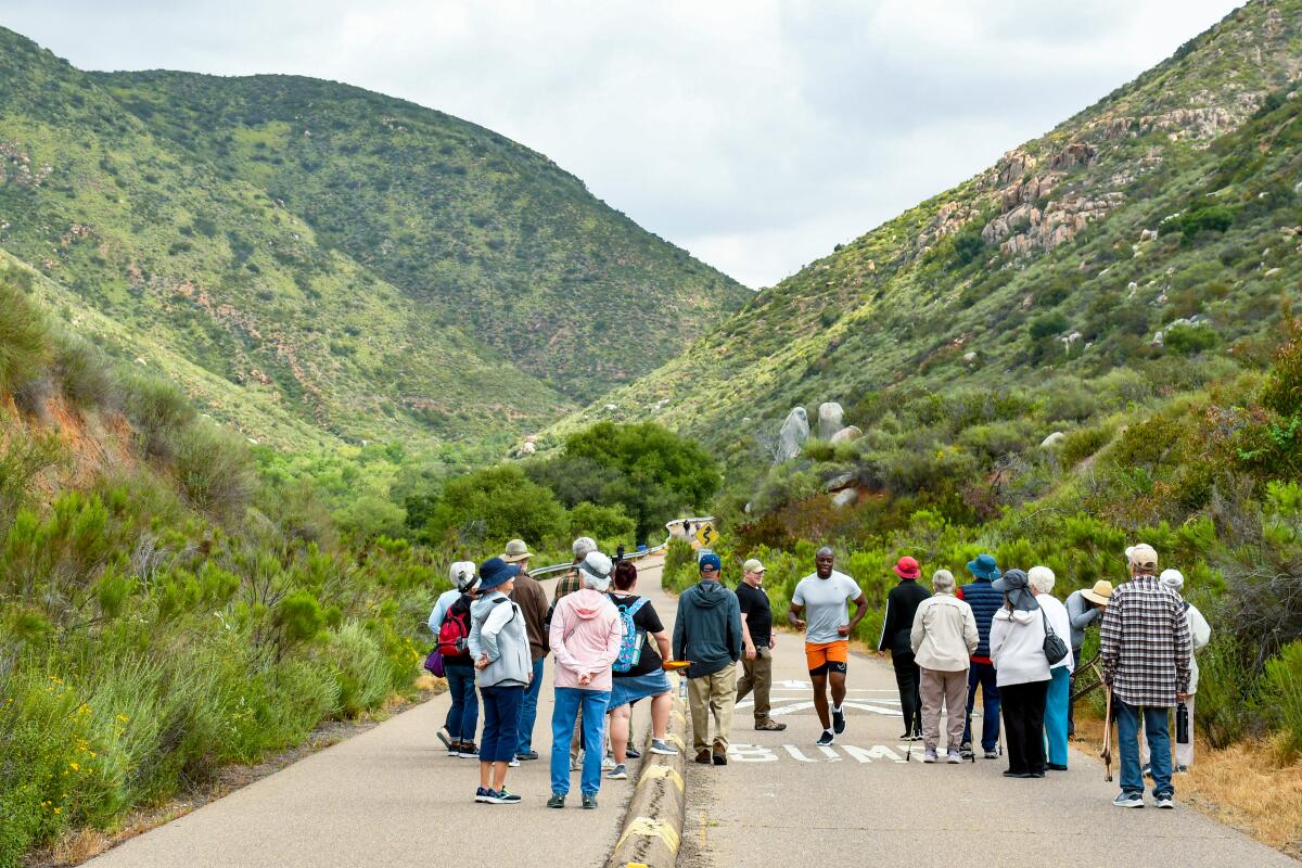
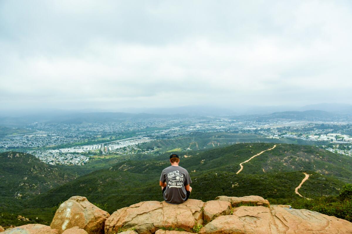
One of the most popular hiking areas in L.A. County, Eaton Canyon previously saw a million visitors per year. Officials said they’ve seen a spate of trespassers in the park since the fire, including one hiker who tried to reach Echo Mountain only to get lost and require rescue. Officials are pleading with the public to stay out of the area and let the land heal.
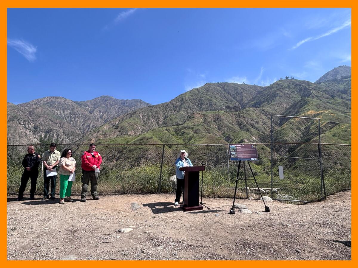
Karen Mateer, vice president of the Eaton Canyon Nature Center Associates, speaks during a news conference last week in which officials asked the public to stay out of the Eaton fire burn scar to let the land heal.
(Jaclyn Cosgrove / Los Angeles Times)
“With apologies to James Taylor, we’ve seen fire and we’ve seen rain, and I’ll tell you what, we’ve also seen a fair amount of air in the form of wind coming through the canyon,” said Karen Mateer, vice president of the Eaton Canyon Nature Center Associates. “Those are three of the basic elements of nature, and now we really need to focus on the fourth, the earth.”
Although it will take time for the land most damaged by the L.A. fires to heal, there are some areas of the burn scars that have recently reopened or will reopen soon.
Newsletter
You are reading The Wild newsletter
Sign up to get expert tips on the best of Southern California’s beaches, trails, parks, deserts, forests and mountains in your inbox every Thursday
You may occasionally receive promotional content from the Los Angeles Times.
Here is the latest information on trails in three recent burn zones.
Eaton fire
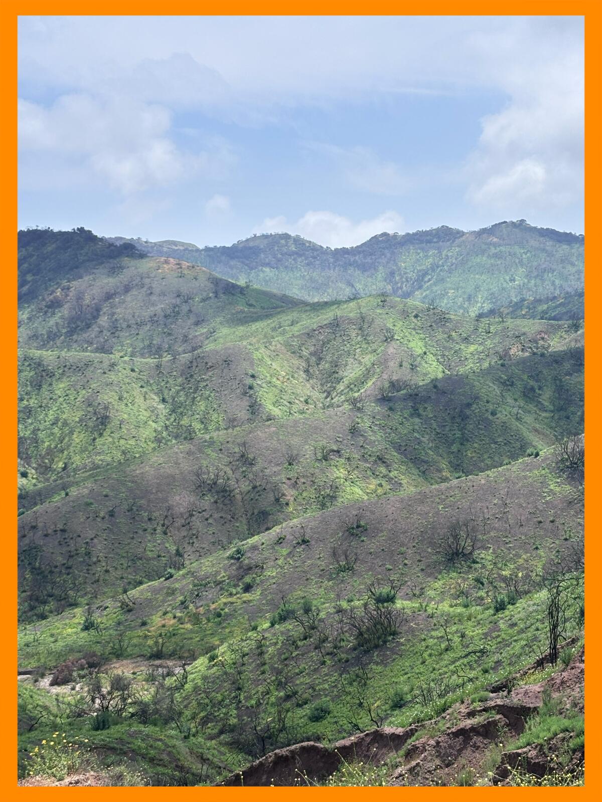
The Eaton fire killed much of the plant life in Eaton Canyon, leaving the soil unstable. As such, boulders and burned trees can fall at any moment.
Norma Edith García-Gonzalez, director of L.A. County Parks and Recreation, said on one of her first visits to the canyon after the fire, a tree fell five feet in front of her. All hikers should heed the warnings to stay out, she said. Additionally, those who trespass could face substantial fines if caught.
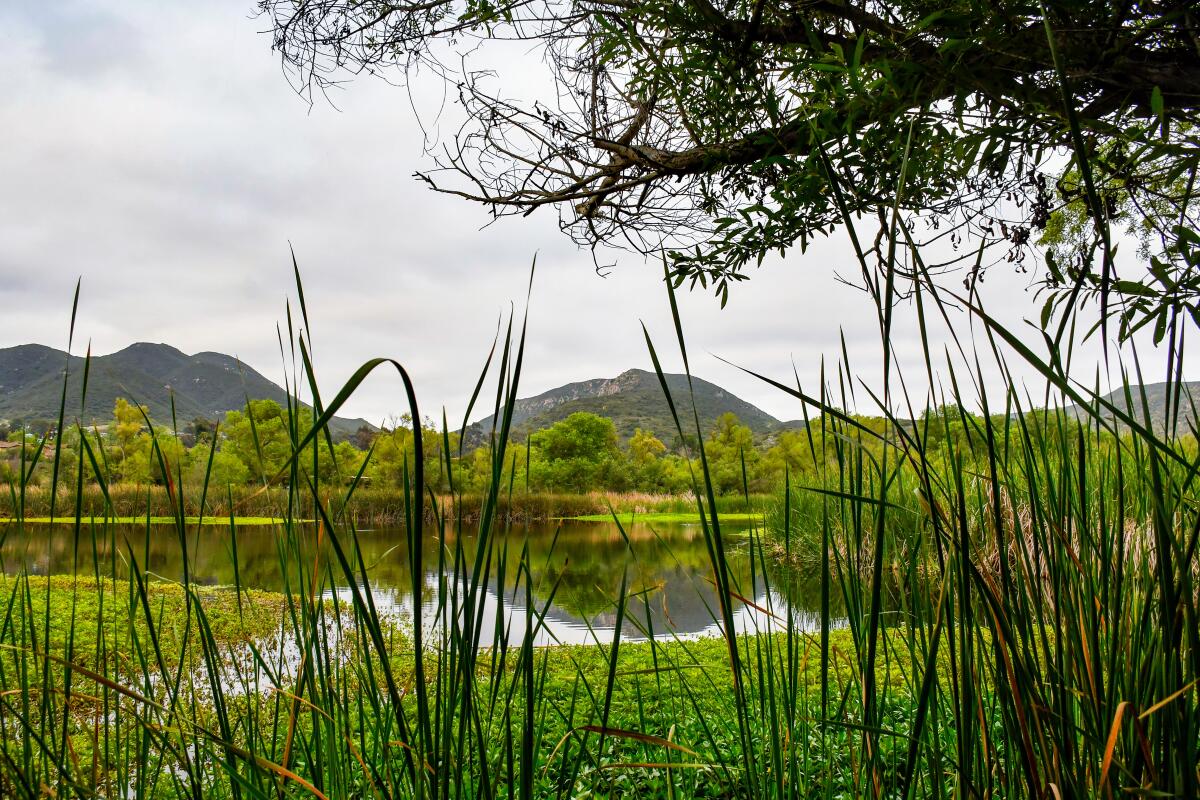
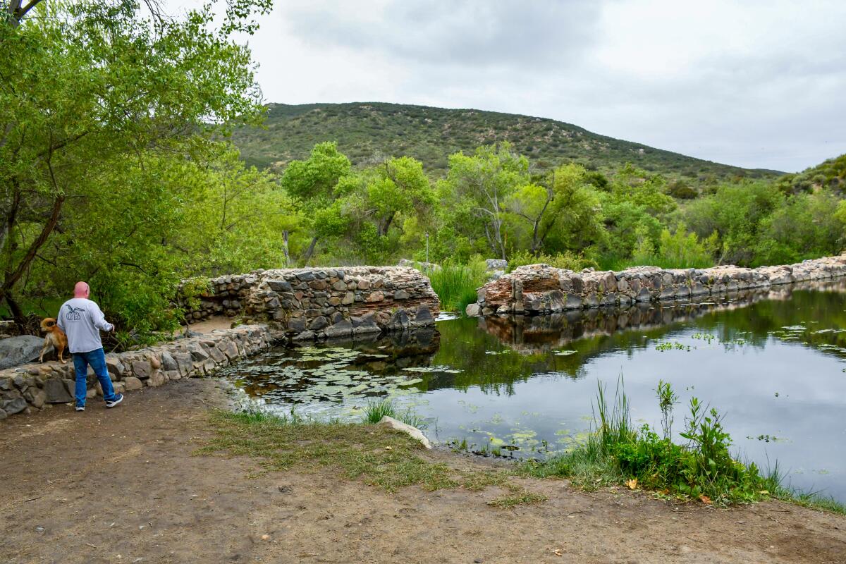
For those wanting to see a waterfall like the gorgeous cascade that plummets down the mountain at Eaton Canyon, I’d recommend checking out the popular Switzer Falls. It was closed immediately following the Eaton fire, and there was some confusion about whether the trail had reopened. At last week’s news conference, Justin Seastrand, forest recreation manager at Angeles National Forest, confirmed it is open! However, the nearby Bear Canyon Trail Camp and the trail leading to it remain closed.
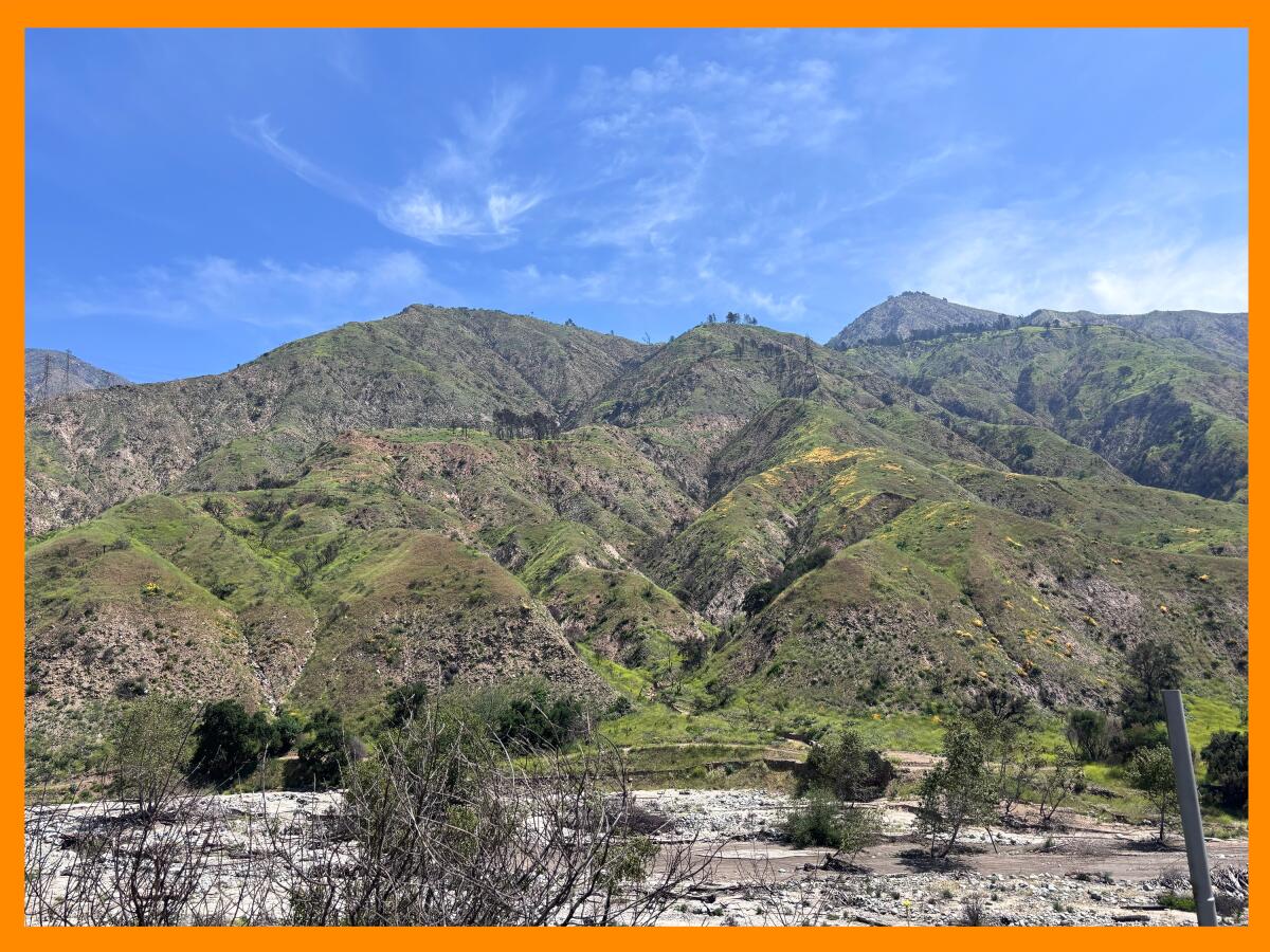
The burned hillsides around Eaton Canyon in the San Gabriel Mountains.
(Jaclyn Cosgrove / Los Angeles Times)
A similar and beautiful trail, Millard Canyon, which also features a waterfall, will likely remain closed through 2026, as its restroom burned in the fire, Seastrand said.
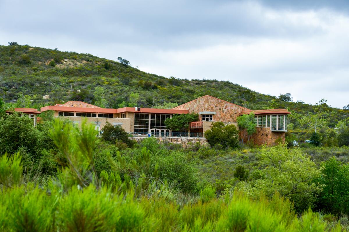
Henninger Flats, a popular hiking destination north of Eaton Canyon, suffered even more serious damage, said Kim Bosell with L.A. County Parks. The old museum, propagation areas and restrooms are gone, and workers will need to remove that debris before the area is safe for hikers to access, Bosell said.
Before the fire, officials had planned to add Henninger Flats to the Eaton Canyon natural area, she said. “Unfortunately the fire took it before we could follow through with those plans, but what the future holds for it, we don’t know right now,” Bosell said.
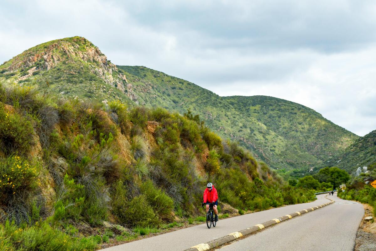
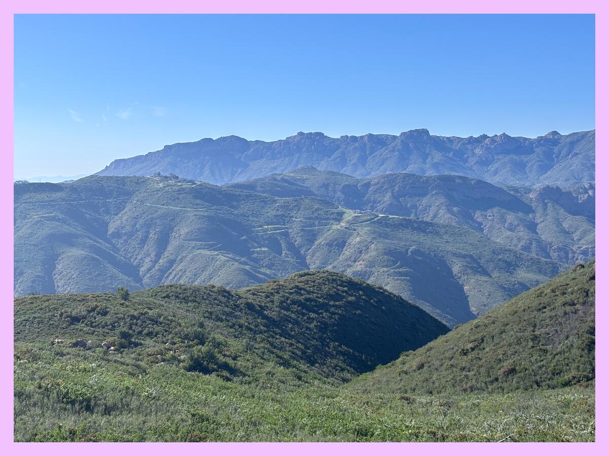
Bridge fire
Last September, the Bridge fire burned almost 55,000 acres, including 25 trails on federal land.
The popular Bridge to Nowhere hike was near where the fire started and will remain closed for the foreseeable future, Seastrand told me, because the rivers and creeks in the area were seriously damaged during the fire and subsequent flooding. It’ll take tremendous manpower (and money) to bring it back online.
But, the good news is, the U.S. Forest Service revised the Bridge fire closure order last week to reopen two popular routes to Mt. Baldy, the Baldy Bowl Trail (Ski Hut) and Devil’s Backbone Trail. Bear Canyon, sometimes referred to as Old Mt. Baldy Trail, remains closed.
This reopening is more than a little bit exciting, considering the closure of these two trails was probably one of the least popular decisions that Angeles National Forest officials have made in a hot minute.
That said, you might notice these trails and others in the Mt. Baldy area, like Icehouse Canyon, are listed as closed on the forest service’s website when they’re actually open.
That’s, in part, because the U.S. Forest Service recently updated several forest websites and in doing so broke the links for several trails and campgrounds. The update rolled out about the same time that the federal government fired thousands of forest service workers. So, needless to say, it might be a minute before the website reflects reality. In the meantime, check the closure order if you have a question about what’s open. (You’re also welcome to email your local outdoors reporter!)
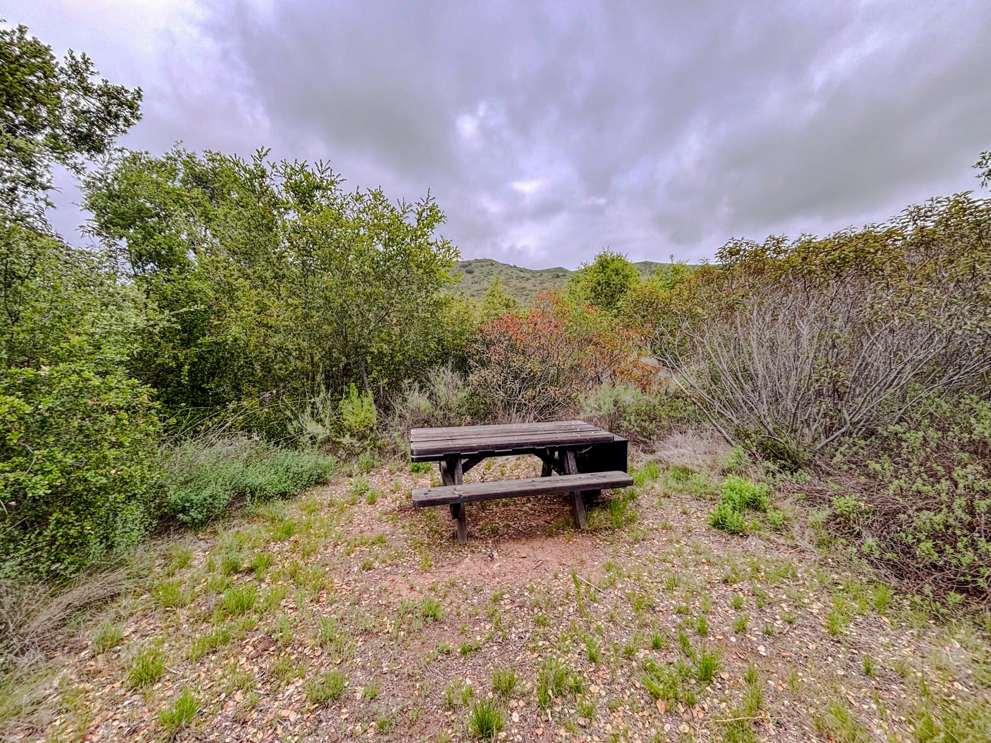
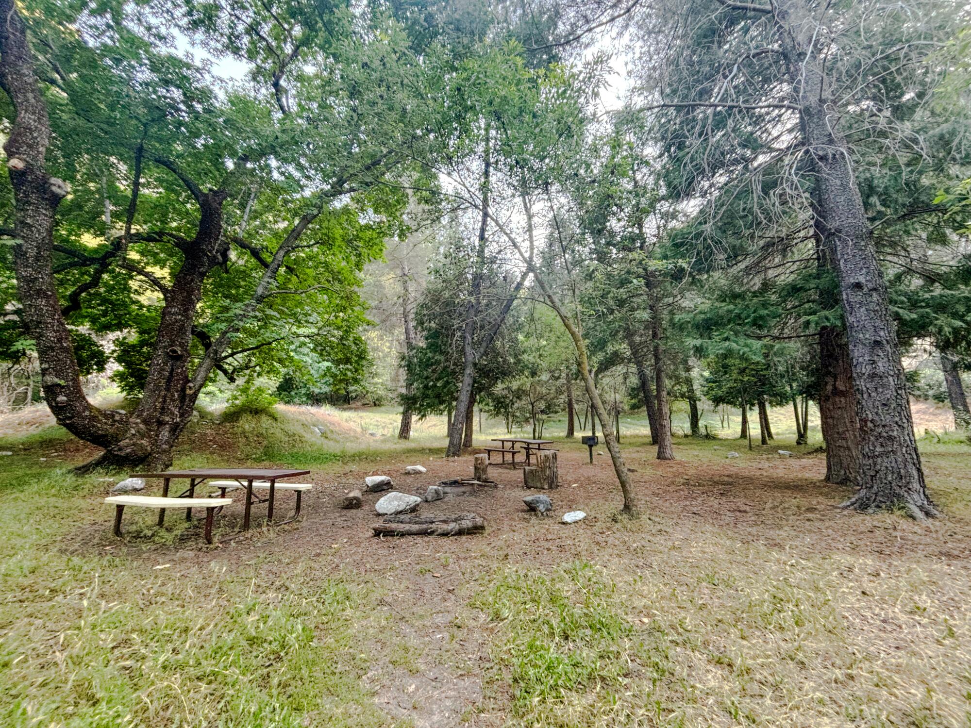
Palisades fire
In the coming weeks, hikers will be able to return to a handful of popular trails in and around the Palisades burn scar.
I spoke to Richard Fink, district superintendent for the Angeles District of California State Parks, who told me that some parkland and trails are closed not because of fire damage, but because they’re being used by state and federal officials in the recovery effort in the aftermath of the Palisades fire.
That list includes Will Rogers State Park, where Fink told me that the park was severely burned, but the trails are in great shape.
“We could open the trails at Will Rogers tomorrow if the rest of the park would be open,” Fink said. “There are actually a lot of trails that [the fire] really didn’t have any impact [on], and also due to our parks being closed, we’ve been able to perform a lot of the work already.”
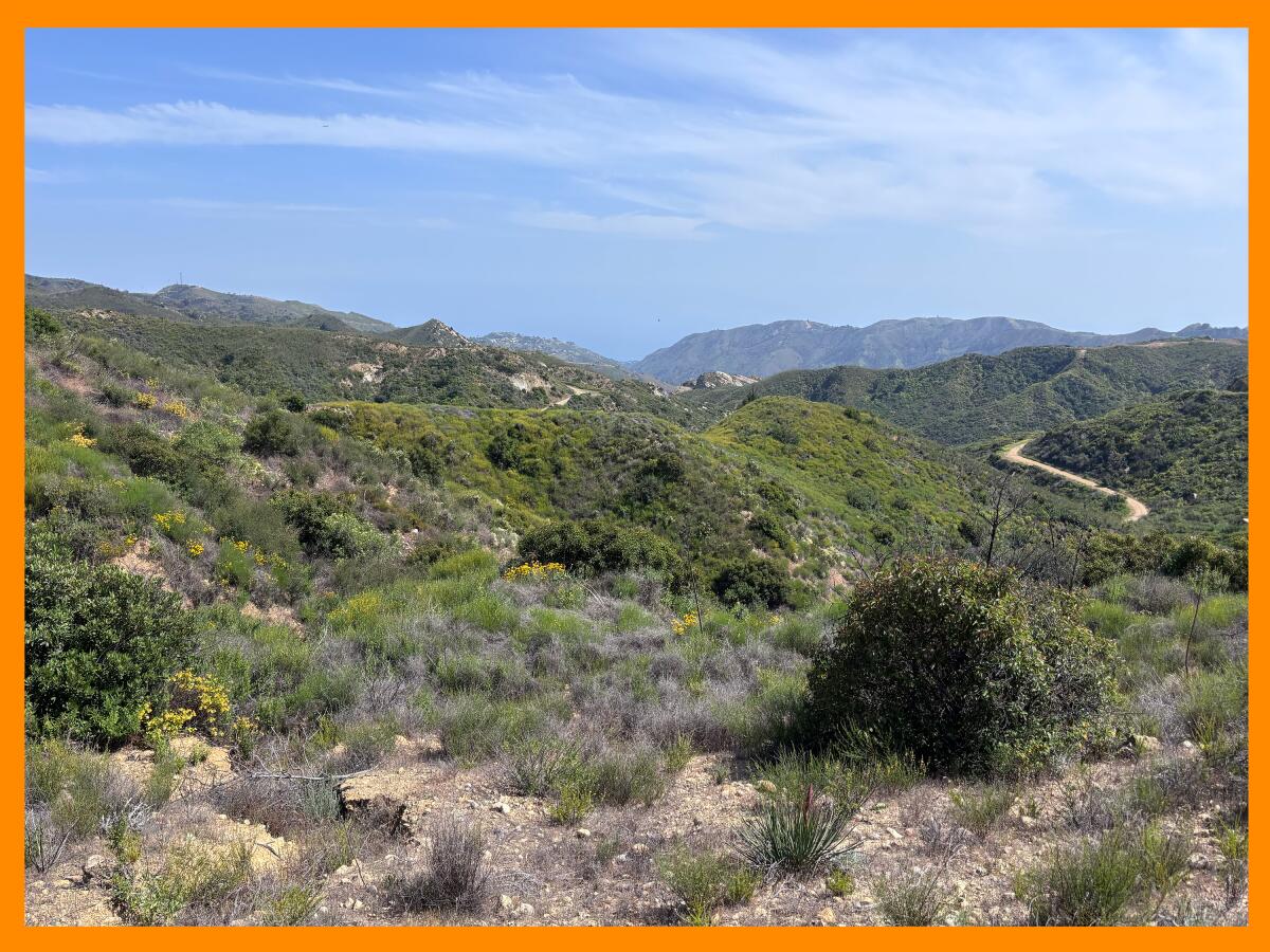
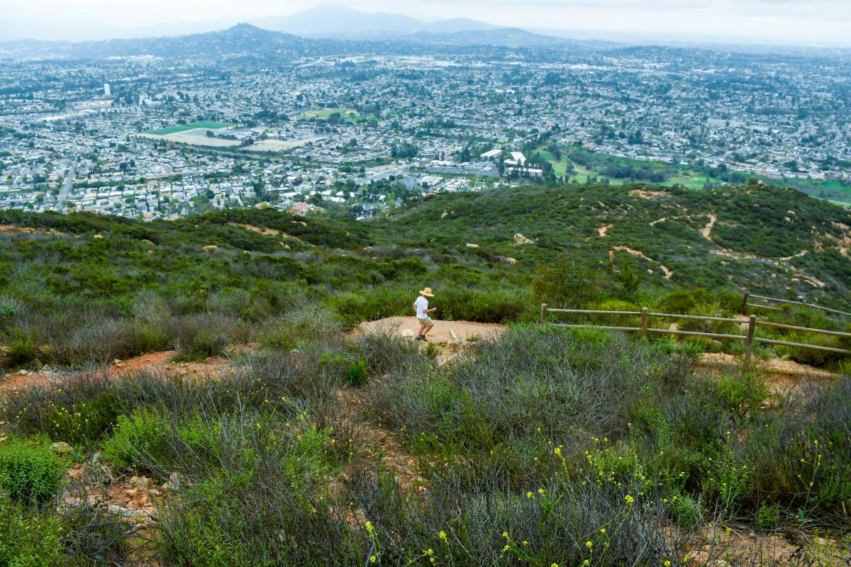
An area of Topanga State Park near Eagle Springs Fire Road that did not burn in the recent Palisades fire.
(Jaclyn Cosgrove / Los Angeles Times)
Parts of Topanga State Park were used by the U.S. Environmental Protection Agency for hazardous debris removal, and L.A. County Department of Water and Power is using part of the park to rebuild the power grid in the Palisades. Once those efforts are finished later this year, that region of the park should be able to reopen, officials said.
“The state park priority for parts of Topanga and parts of Will Rogers State Historic Park are first and foremost to help the recovery and then to eventually get them open to the public,” Fink told me.
The southern part of Topanga State Park suffered the worst damage in the Palisades fire and will remain closed for “a while,” in particular the area around the Topanga Ranch Motel, which was “completely destroyed,” Fink said.
There are trails that may take years to recover or may no longer be accessible to the public moving forward, he said.
The Palisades fire burned several acres through Topanga State Park, especially in the southern end of the park where structures were destroyed, as well as popular hiking trails.
(Jaclyn Cosgrove / Los Angeles Times)
The popular Los Leones Trail will remain closed, although it suffered minimal damage and was one of the first trails the state parks crew worked on in early March. Crews cleared burned vegetation, removed landslides and widened the trail. It’s in good structural shape, officials said, but will remain closed because the neighborhood near the trailhead remains closed to the public. Once the neighborhood reopens, a crew will need to remove plants that have grown in the path thanks to a lack of foot traffic.
But, dear Wilder, I do have some good news for you.
On Saturday, I hiked with Rachel Glegg, volunteer coordinator with the Santa Monica Mountains Task Force, who took me around Topanga State Park to see the trail work that the Sierra Club Angeles Chapter’s trail crew, state park workers and other volunteers have completed.
Thanks to those efforts, Glegg said, officials aim to open the following trails in the next few weeks:
- East Topanga Fire Road from Trippet Ranch to Parker Mesa, although anything beyond the Parker Mesa junction will likely remain closed to keep the public away from neighborhoods burned in the fire
- Eagle Rock Fire Road, Eagle Springs Fire Road and Fire Road #30 to the Hub Junction in Topanga State Park
- The Garapito Trail in Topanga State Park, which Glegg’s crew is still working on, but is close to repairing fully

Several phacelia grandiflora plants are growing along a burned section of the Garapito Trail.
(Jaclyn Cosgrove / Los Angeles Times)
On my trip with Glegg, I just kept saying, “This is so beautiful,” as I took in the views of the surrounding city and ocean. We spotted loads of wildflowers, including phacelia grandiflora and a small patch of California poppies. Like you, I am eager to return and make more memories in this beautiful, resilient landscape.

3 things to do
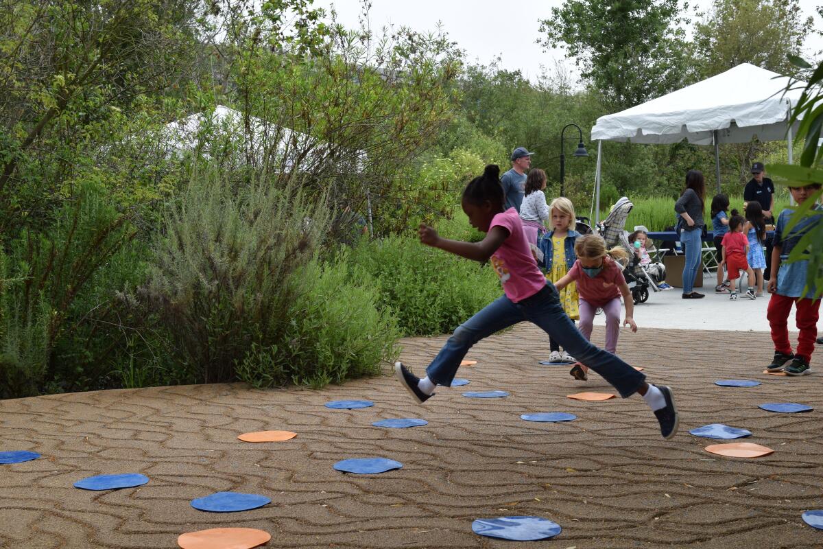
A child plays at a previous migration celebration hosted by the Friends of Ballona Wetlands.
(Friends of Ballona Wetlands)
1. Get up close with birds in Playa Vista
Friends of Ballona Wetlands will host its annual migration celebration from 10 a.m. to 2 p.m. Saturday at Ballona Discovery Park. Raptors will be present for visitors to see and learn about up close. Guests can also enjoy music, purchase native plants and partake in a scavenger hunt, along with tours of the freshwater marsh. Learn more at ballonafriends.org.
2. Celebrate National Bike Month in L.A.
People for Mobility Justice will host a community bike ride from 8:30 a.m. to noon Saturday, starting at Ted Watkins Memorial Park. As part of this celebration of National Bike Month, riders will travel through the Florence-Firestone area, learning about bike safety and local resources. Participants should bring water, along with their bike and helmet. Register at eventbrite.com.
3. Prance down open streets in Glendale
The city of Glendale will close 1.3 miles of Glendale Avenue from 10 a.m. to 4 p.m. Saturday for its first car-free open streets event. Let’s Go Glendale will feature live music (including a strolling mariachi) and other arts and culture programming. Visitors can walk, run, bike or take the route in any other preferred people-powered way. Learn more at glendaleca.gov.

The must-read

A female black bear and her cub scour a South Lake Tahoe neighborhood in search of food.
(Corey Arnold / For The Times)
It’s rare to see a black bear in the wild, and it’s even rarer for someone to be hurt by one, much less killed. That’s why it was so startling when news broke of the death of Patrice Miller, 71, who, a coroner’s report found, was killed by a black bear in her home. Times reporters Jessica Garrison and Lila Seidman wrote in their recent story that questions — and even disbelief — still exists around how Miller died. “We don’t believe the bear did it,” said Ann Bryant, executive director of the Bear League in the Tahoe Basin. “And I will go on record as saying that.” The bear in question has been killed. What remains is an intense debate over how California should manage its population of an estimated 65,405 black bears, especially those found lumbering around mountain towns.
Happy adventuring,

P.S.
The U.S. Forest Service is taking public comment through Monday on its proposal to log trees and clear chaparral across 90,700 acres in Los Padres National Forest, which sits north of L.A. County and features gorgeous landscapes. “But this plan falls short and threatens habitat in many areas,” according to advocacy nonprofit ForestWatch. “The project emphasizes vegetation removal in remote areas — places that pose little threat to public safety but are rich in biodiversity, cultural value and recreational importance. The plan also allows for commercial logging, and it overlaps with roadless areas and endangered species critical habitat.” You can learn more at the organization’s website, where you can submit your comment as well. You can also submit your comment on this federal website.
For more insider tips on Southern California’s beaches, trails and parks, check out past editions of The Wild. And to view this newsletter in your browser, click here.