Cycling

Make tracks: 8 of the UK’s best walking and cycling trails on former railway lines | Travel

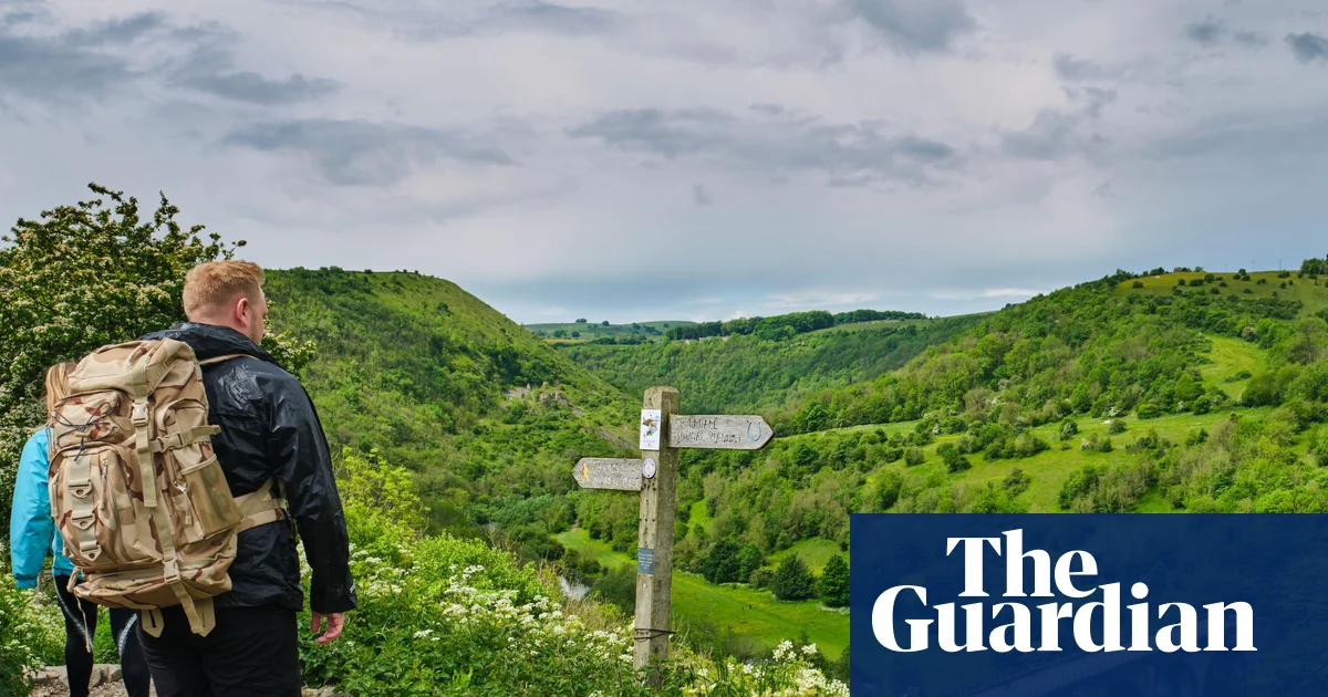
The Monsal Trail, Peak District, Derbyshire

Start/finish Coombs Road in Bakewell to Blackwell Mill in Chee Dale, but there are lots of access points along the way
Distance 8.5 miles
Cycle, hike or ride a horse along the Monsal Trail to explore a swathe of Derbyshire’s industrial history. This former stretch of the Midland Railway line winds past the imposing structures of two 18th-century cotton mills, through illuminated railway tunnels and over the Headstone Viaduct, which gives glorious views of the River Wye and Monsal Dale below. Interpretation and listening panels along the route explain the area’s history, geology and wildlife, while a short detour on to Monsal Head offers a panoramic view of the viaduct itself. Pause here for lunch or a pint at the Monsal, or stop in at Hassop Station Cafe, which offers bike rental alongside hefty sandwiches, homemade cakes and wood-fired pizza at weekends.
monsaltrail.org.uk

The Strawberry Line, Somerset

Cycling on the Strawberry Line at Shute Shelve railway tunnel. Photograph: Joe Dunckley/Alamy

Start/finish Yatton railway station to the old (unused) Cheddar railway station
Distance 10.7 miles
Named for the fruity cargo that trains once carried from the strawberry fields up to London, this flat, accessible route – shared by walkers, cyclists and wheelchair users – knits together former railway stations, cider orchards and small, historic towns. Direct trains run from Bristol to Yatton, where the not-for-profit, community-run Strawberry Line Cafe serves hearty breakfasts and homemade cakes, while next door the Strawberry Line Cycle Project offers bike hire and accessories such as child seats. The route runs through wildlife-rich wetlands, open grazing land and lush valleys, while the medieval square at Axbridge gives an insight into the region’s rich history, dating back to the 10th century, when it was a busy commercial centre. Settle in at the Almshouse Teashop, in a building almost 600 years old, for freshly made soup and sweet treats, before setting off again.
thestrawberryline.org.uk

The Mawddach Trail, Gwynedd, Wales

The toll bridge at Penmaenpool, over the Mawddach. Photograph: Henry Ciechanowicz/Alamy

Start/finish Marian Mawr car park in Dolgellau to Barmouth viaduct
Distance 9.5 miles
Mostly running alongside the Mawddach estuary, this tranquil trail is a great choice for birders, with peregrine falcons and buzzards whirling above, and curlews and oystercatchers in the salt marshes. The wide, even surface also makes it ideal for wheelchairs and mobility scooters, and there are several joining points along the trail, meaning you can walk or bike as little or as far as you like. Just next to the 150-year-old Penmaenpool wooden toll bridge, the George III hotel and pub offers sweeping estuary views and classic pub food (including particularly fine pies), or pick up picnic supplies from Fork, Cork and Feathers in Dolgellau, which has a cold counter crammed with cured meats, cheeses and other local produce. There are seats and picnic tables dotted all the way along the trail.
mawddachtrail.co.uk

The Cuckoo Trail, East Sussex

The Cuckoo Trail. Photograph: Johan Siebke/Alamy

Start/finish Station Road in Heathfield to Hampden Park in Eastbourne
Distance 14 miles
A great choice for a family adventure, this mostly flat trail has five augmented reality “story stops” along the way – where, with just a quick scan of the QR code, children can interact with animated wildlife characters, solve puzzles and take a selfie with a grumpy badger. There are sculptures too, including carved wooden seats made from oak trees that fell during the great storm of 1987 and steel sculptures that act as mileposts. Cuckoo Shack Cafe, part of Priory Court Farm in Polegate, is set right on the trail and offers homemade-cakes, sandwiches and excellent coffee, but it is only open at weekends and during school holidays. Otherwise, a quick diversion into Hailsham offers a clutch of places to eat, including Neapolitan street food and wood-fired pizza at Rustico.
wealden.gov.uk

The Flitch Way, Essex

The former Rayne railway station, near Braintree. Photograph: PA Images/Alamy

Start/finish Braintree station to Start Hill, near Bishop’s Stortford
Distance 15 miles
Discover a tranquil side of Essex by following this rural trail along the edge of the former royal hunting ground of Hatfield Forest – where fallow deer roam between the ancient oak trees – and Great Notley Country Park, where families can take advantage of the 1.2km play trail, with slides, forts and swings. The main refreshment stop is 2 miles along the trail from Braintree at the Rayne Station centre, which combines the Booking Hall Cafe with the free-to-enter Railway Carriage Museum, a visitor centre and toilets. For something more sustaining (and a pint or two), the Lion and Lamb pub is just a short detour off the trail, in the pretty village of Little Canfield. Keep an eye out for kestrels and buzzards, plus brown hares dashing out of the hedgerows.
explore-essex.com

The Wirral Way, Merseyside and Cheshire

Thurstaston beach. Photograph: David Chapman/Alamy

Start/finish West Kirby railway station to Hooton railway station
Distance 12.2 miles
One of the first converted railway lines in England, the Wirral Way is now a dramatically beautiful coastal path running along the Wirral Peninsula. It takes in the Wirral Country Park, where Wirral Way Bikes offers cycle hire for adults and kids (including ebikes), and clifftop picnic spots have gorgeous views over the Dee estuary. Take a detour down the cliffs to Thurstaston beach for a spot of fossil hunting or a quick paddle, and pause at Hadlow Road station, which has been preserved in all its 1950s glory (when the passenger service stopped) as an open museum; it also operates as an information point for the trail. Time your walk or ride for sunset, when the mudflats glow rose-pink and gold as the sun drops below the Clwydian Hills, and take the short connecting path down to the Harp Inn, Little Neston, set directly on the estuary, for a sundowner to go with the view.
visitcheshire.com

The Crab and Winkle Way, Kent

Rewilded bison on the Blean. Photograph: Donovan Wright/PA

Start/finish Canterbury West station to Whitstable Harbour
Distance 7.5 miles
Following the route of one of the earliest railway lines, built in 1830, this hiking and cycling trail passes through the Blean, a large swathe of ancient woodland, home to the 13th-century church of St Cosmus and St Damian, and an RSPB reserve. It’s also home to Europe’s first free-roaming bison, introduced as part of a rewilding initiative in 2022 by the Kent Wildlife Trust and Wildwood Trust. There’s not really anywhere en route to stop and eat, so either pick up treats for a picnic at the Goods Shed in Canterbury (an indoor farmers market, closed mondays) or save yourself for oysters and a glass of fizz at the Whitstable Oyster Company, right on the beach.
explorekent.org

The Dava Way, Moray and Highland, Scotland

The collie dog memorial on the Dava Way. Photograph: John Bracegirdle/Alamy

Start/finish Mannachie Avenue in Forres to Dulicht Bridge in Grantown-on-Spey
Distance 24 miles
Unusually for a rail trail, the Dava Way includes a stiff climb from the Moray Firth up over Dava Moor to the Dava Summit, at 320 metres (1,050ft), before heading back down to Grantown-on-Spey, following the Highland Railway line that operated for over a century, from 1863 to 1965. The ascent is well worth it for the spectacular views across the Moray Firth to Sutherland in the north, and south to the Cromdale Hills and the Cairngorms, while the ride back down is a breeze. The Divie Viaduct, built in 1863, is the most famous landmark along the way, while the Halfway Hut is a restored shelter that makes a perfect spot for a picnic, with old photographs and route info on the walls (not for overnight stays).
davaway.org.uk
Source link

‘The only way is up’: cycling Norway’s mountainous ‘Milky Way’ | Norway holidays

‘Norway is a hilly country,” shrugs Glenn Roar Berge. He’s not wrong, though he is fond of an understatement. I’m in Valdres in southern Norway to explore the cycle routes that skirt the edges of Jotunheimen national park. Glenn from Jotunheimen Travel is our guide, a born-and-bred local of these mountains.

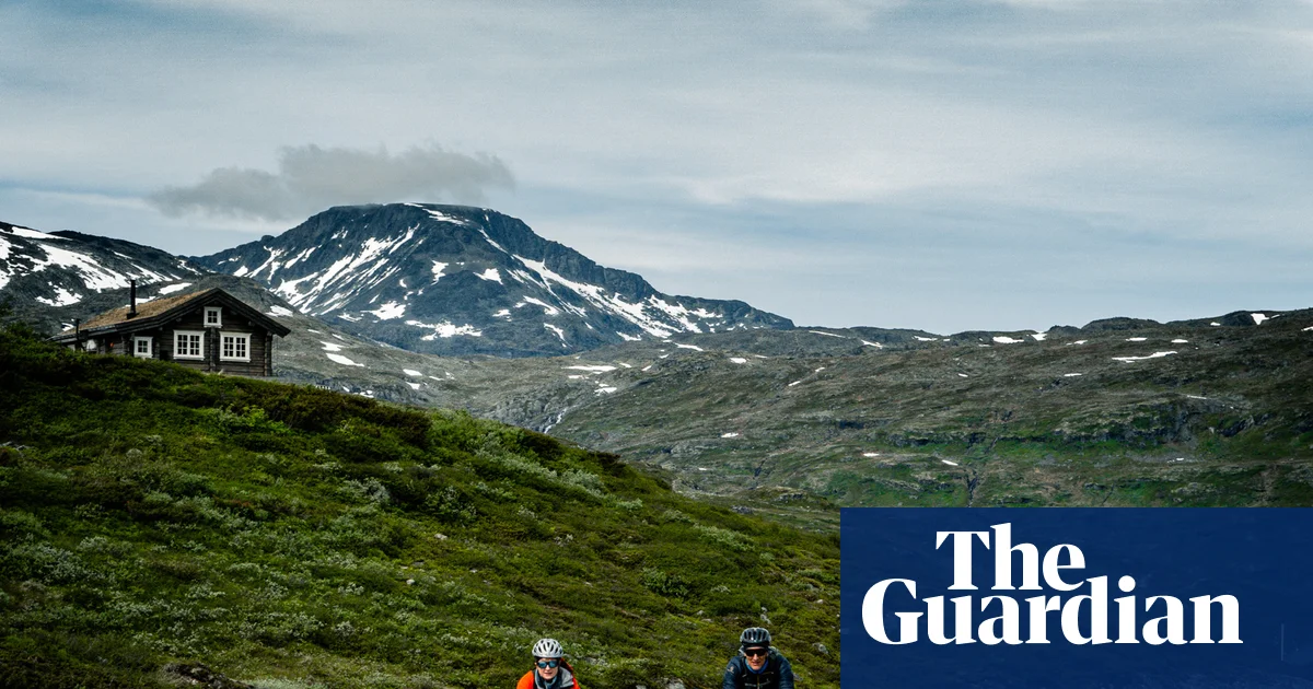
For most of our three-day ride, we’ll be following the Mjølkevegen, or Milky Way, a 155-mile (250km) route from Vinstra in the north to Gol in the south. It was developed after the second world war, when increased demand for fresh milk meant connecting the mountain farms with the towns below. While farming continues, the road has been embraced in recent years by gravel cyclists, (typically riders on drop-bar bikes favouring unpaved roads and trails), looking for a multi-day adventure far from towns and cities.

Ruten Fjellstue is a traditional inn, set up for cross-country skiing in winter, hiking and biking in summer. My trip starts here and it’s where I’ll meet my guide and group, and pick up my hired bike. It’s set high above the valley and painted falun red – the iron-oxide agricultural paint typical across Nordic countries. Berit and Arthur are the third-generation owners. I arrive late, so Arthur picks me up from Vinstra train station (about three hours north-west of Oslo) and Berit has kept a home-cooked meal warm: a generous plate of fish with potatoes, vegetables and cream sauce, followed by apple crumble.

The route passes along Lake Vangsmjøse near the village of Øye. Photograph: Markus Stitz

These small inns are part of what makes cycling through the region work. At breakfast, there’s an expectation that you’ll make your own sandwiches from the buffet, with provisions laid out ready. We’re even given a reusable beeswax wrap. Cycling here is powered by sandwiches, waffles with sour cream and berry jam, and plenty of cinnamon buns – and that’s just to keep you going between meals.

Our first morning begins with a cruisy downhill run before the road turns into a rough track. A temporary road closure has sent us on to a mountainous diversion. I’ve never used drop handlebars before and it takes me a while to figure out the gears.

Silje Wilson, who works to promote the mountain hotels in the area, is also joining our group of 12 riders from across Europe. She tells me she has never ridden a gravel bike either, so I’m hopeful I’ll have company at the back, but she leads every climb and is often miles ahead. That night she reveals she has spent her summer mountain biking and lifts a large rock in her garden to build strength. “A typical Norwegian girl,” says Glenn.

While you don’t have to be a “typical” Norwegian to enjoy these trails, a certain tolerance for hills helps. As we descend towards Lake Vinstre, the Jotunheimen mountains, northern Europe’s highest range, appear ahead. There’s just a tiny road stretching into the distance; beyond it, mountains in every direction. The lake is a deep turquoise-blue, and the shores are dotted with tiny wooden farmhouses painted red or yellow, many with grass roofs for extra protection when the snow arrives.

At Lake Bygdin we stop to stretch and eat burgers at Bygdin Høifieldshotel before catching the M/B Bitihorn passenger ferry, where bikes and luggage join us on deck. The boat has been in regular service on the lake for more than a century. We sail past the peaks of Øystre Torfinnstinden and Galdebergtinden, with waterfalls tracking down the steep mountainsides to the inland fjord.

Jotunheimvegen, a gravel road passing along Lake Vinstre. Photograph: Markus Stitz

At Eidsbugarden, at the far end of the lake, we climb back on to our bikes and follow Lake Tyin towards Filefjellstuene hotel. We pedal past summer mountain dairy farms but barely see a soul. The roads are almost entirely traffic free, but the sheep are worth being wary of: twice I have to swerve at speed when one runs into the road.

We’re cycling for long days, averaging about 45 miles (75km) a day, with 1,500 metres (4,900ft) ascent, but there are gentler ways to experience the Mjølkevegen: shorter stages mean more time to explore the cosy family hotels or add in hikes, while some riders hire an ebike. Self-guiding on the main route is straightforward and well signposted; for diversions, or extra challenges, hiring a guide is advisable. I decide to lean in to taking it slowly, drinking in the spaciousness and letting the miles roll by.

At Øye, on day two, we stop to admire the steep tiered roof of the stave church, one of only 28 still standing across the country. Many Norwegian churches, including medieval stave churches, were destroyed in a wave of more than 50 arson attacks in the 90s by anti-Christian black metal bands. Øye was built towards the end of the 11th century, then replaced in 1747. During renovations in the 1930s, the old church was discovered dismantled under the floorboards for reasons lost to time, and rebuilt here by the lake.

Further along the valley, Glenn points out a steep triangular cave up high. We’re into troll territory. “Up there a big rock is starting to move,” Glenn says. “It’s being surveyed, and it will fall sometime in the next 200 years. It’s because of lang bane, the troll ‘long bones’. Trolls sleep for hundreds of years. He’s starting to wake up now. Newspapers don’t report it, but local people know that it’s the troll.”

Time to get back into the hills then, and Glenn has planned a detour from the main route. It includes what he calls “the mother of all climbs”: a long incline with dozens of switchbacks, requiring all the cinnamon-bun fuel I can muster. On the Smådalen plateau we rest among the wildflowers framed by steep peaks rising above the snow line. There are moose in this area, but our whoops on the downhills probably keep them well hidden.

Lunch at Bygdin Høifieldshotel on the shores of Lake Bygdin. Photograph: Markus Stitz

On my last day, the weather turns. The Mjølkevegen sits about 800–1,300 metres above sea level, and the weather can shift quickly. We reach the bottom of the Slettefjell mountain pass in driving rain. There’s a small cafe here, so we stop for waffles and refill our water bottles. Then the only way is up, and up, and up. It’s 600 metres of elevation in just 6km. All I can do is concentrate on the next bend.

At the top, it’s flat and exposed, and the clouds have transformed the mountains again. Distances are hard to measure, and the craggy rocks? Petrified trolls. I give them a wave, and freewheel downhill for miles.

In this part of Norway, hotels are never built at the bottom of the valley. “Everyone prefers to have a view,” says Glenn. For a cyclist, this means that every day there is a final few kilometres up to the hotel. It’s tough, but it makes the arrival all the sweeter. And the best views are those you’ve earned.

The trip was provided by Jotunheimen Travel, Mountains of Norway, Innlandet Fylkeskommune and Visit Valdres. Jotunheimen Travel offers three-day self-guided cycling trips on the Mjølkevegen from NOK7,800612) based on two sharing, including hotel accommodation, all meals, luggage transport, boat tickets on M/B Bitihorn, an app with directions and maps, backup support and CO2 compensation, with bike hire for an additional cost

Source link