A charming UK beach has miles of golden sands and sheltered waters – but TikTok users have dubbed it a ‘playground for the rich’ as it has the highest seaside property prices in the whole of the UK

The area has stunning natural features(Image: Thomas Faull via Getty Images)
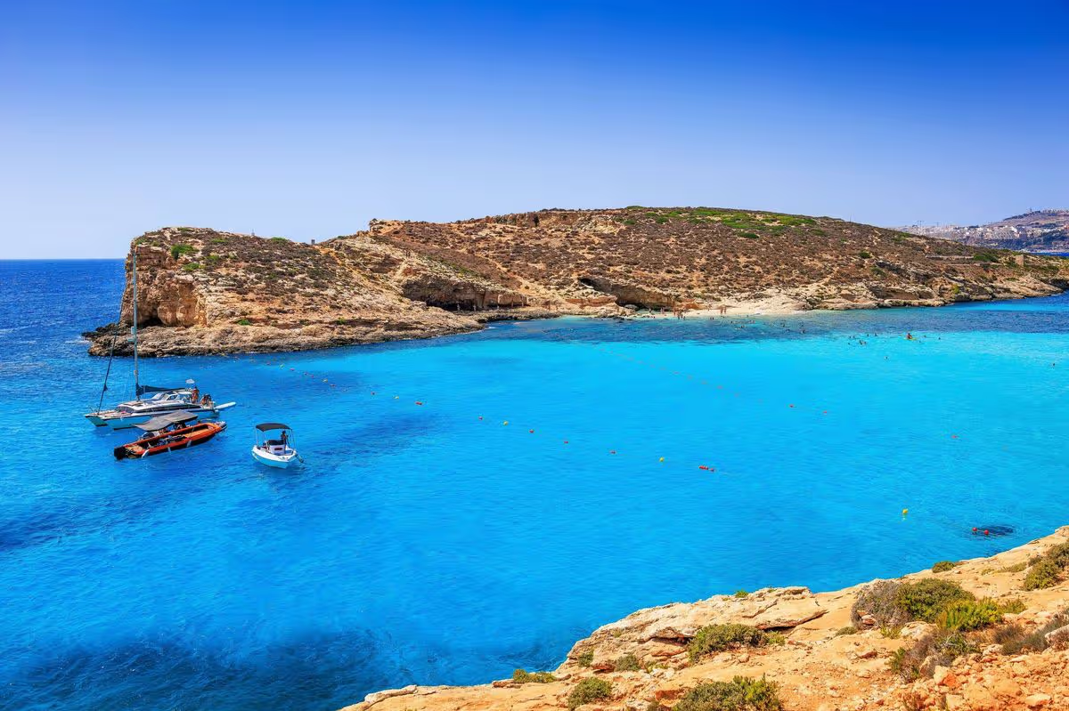
Discovering a peaceful, secluded beach in the UK that hasn’t been swamped by holidaymakers can be difficult, especially if you’re after golden sands, sparkling clear waters, and stunning coastal scenery.
Some of the most well-known beaches in the UK that provide these features are Porthcurno Beach in Cornwall, Bournemouth Beach in Dorset, Holkham Beach in Norfolk, and Barafundle Bay in Pembrokeshire.
Yet, one beach that remains something of a hidden gem is Studland Bay in Dorset. Unlike its busy counterparts, Bournemouth and Sandbanks, Studland Bay has succeeded in preserving its unspoilt character and is the perfect destination for a spring swim. This secret spot features an impressive four miles of immaculate sands with protected waters, all surrounded by dunes and gentle cliffs.
The bay is made up of four National Trust-managed beaches: Shell Bay, Knoll Beach, Middle Beach and South Beach. Every beach at Studland welcomes dogs, permitting them on the sands all year round, making it an excellent choice for dog owners wanting to enjoy a tranquil coastal stroll with their four-legged friends.
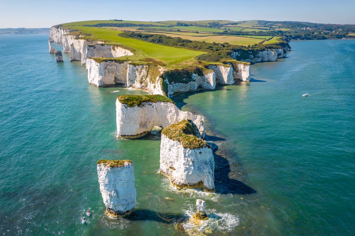
The beach provides views across the chalk formations of Old Harry Rocks, part of the Jurassic Coast World Heritage Site. These iconic chalk formations rise from the sea, marking the most eastern point of the Jurassic Coast.
For visitors staying in the neighbouring towns of Poole and Bournemouth, Studland Bay is under an hour away by car and provides a calm escape from the commotion of the crowded seaside resorts.
Many TikTok users have dubbed Studland Bay ‘Bournemouth’s playground for the rich’, and travel influencers are said to be completely smitten with the immaculate beaches and stunning views. Located near Sandbanks, the UK’s priciest seaside location, it’s hardly surprising that locals are venturing out to uncover hidden gems.
The average property price in Sandbanks for 2025 was a whopping £854,817, and current Rightmove listings for Sandbanks include a two-bedroom flat for £425,000, and a four-bedroom semi-detached house for over £1.5 million.
Matthew Fox, CEO of LateRooms.com, has championed the destination. “Here in the UK, many of us dream of coastal coves and hidden bays, but for years, we’ve overlooked some of our own spectacular coastal gems,” he explained.
“Studland Bay is one of those places. The beach feels almost untouched compared to more popular British beaches, and it’s a far cry from the crowded seafronts of more traditional seaside destinations. On a warm summer’s day, you could be in a tropical paradise-sweeping sandy beaches, crystal-clear waters, and stunning views over Old Harry Rocks.”
READ MORE: Latest Foreign Office travel advice for Turkey, Cyprus and EgyptREAD MORE: UK government set to start flights back from Middle East as cancellations near 10,000
He added: “It’s an area of outstanding natural beauty that allows visitors to unwind and reconnect with nature as they escape the hustle and bustle. The best time to appreciate Studland Bay and its unspoilt charm is to visit outside of the school holidays, where you can enjoy coastal walks and wildlife spotting in peace and tranquillity.”
Have a story you want to share? Email us at webtravel@reachplc.com