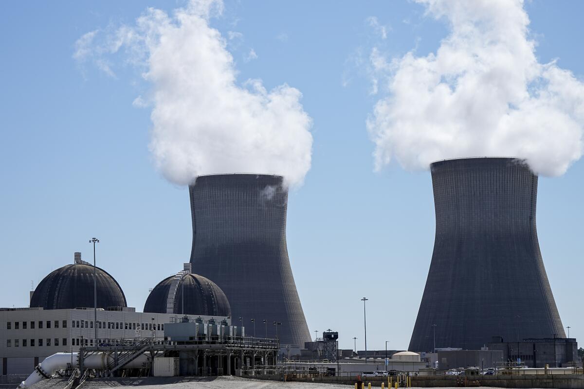
The radiation containment domes at Arizona’s Palo Verde Generating Station were, truth be told, pretty boring to look at: giant mounds of concrete, snap a picture, move on. The enormous cooling towers and evaporation ponds were marginally more interesting — all that recycled water, baking in the Sonoran Desert.
You know what really struck my fancy, though? The paintings on conference room walls.
Newsletter
You’re reading Boiling Point
Sammy Roth gets you up to speed on climate change, energy and the environment. Sign up to get it in your inbox twice a week.
You may occasionally receive promotional content from the Los Angeles Times.
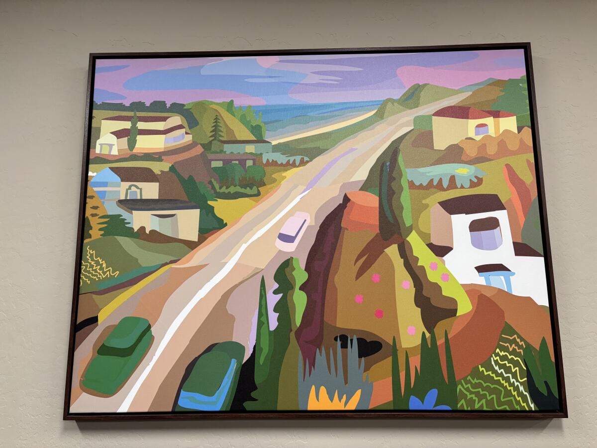
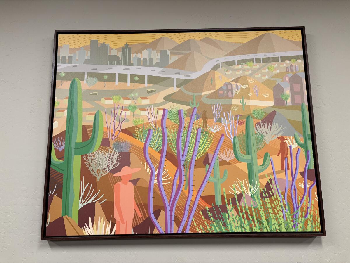
There were five of them, each representing one of the far-flung Southwestern cityscapes powered by Palo Verde. Two showcased Arizona: one for the Phoenix metro area — saguaro cacti and ocotillo in the foreground, freeway and skyscrapers in the background — and one for the red-rock country to the north. Another showed downtown Albuquerque. A fourth portrayed farm fields in El Paso, likely irrigated with water from the Rio Grande.
Then there was an image that may have looked familiar to Southern Californians: Pacific Coast Highway, twisting through a seaside neighborhood that looks very much like Malibu before the Palisades fire.
A painting of Pacific Coast Highway winding through Southern California, on display at Arizona’s Palo Verde nuclear plant.
(Sammy Roth / Los Angeles Times)
That’s right: If you live in Los Angeles County, there’s a good chance your computer, your phone, your refrigerator and your bedside lamp are powered, at least some of the time, by nuclear reactors.
The city of L.A., Southern California Edison and a government authority composed of cities including Burbank, Glendale and Pasadena all own stakes in Palo Verde, the nation’s second-largest power plant. In 2023, the most recent year for which data are available, the plant was L.A.’s single largest energy source, supplying nearly 14% of the city’s electricity. The reactors supplied just over 9% of Edison’s power.
During a tour last month, I walked past the switchyard, a tangle of poles and wires where energy is transferred to power lines marching west and east. When all three reactors are running, the yard can transfer “the equivalent of half of the peak [electric demand] of the state of California on its hottest day,” according to John Hernandez, vice president of site services for utility company Arizona Public Service, which runs the plant.
“So it is a massive, massive switchyard,” Hernandez said.
For all the heated debate over the merits of nuclear energy as a climate change solution, the reality is it’s already a climate change solution. Nuclear plants including Palo Verde generate nearly one-fifth of the nation’s electricity, churning out 24/7, emissions-free power. Shutting down the nuclear fleet tomorrow would cause a giant uptick in coal and gas combustion, worsening the heat waves, wildfires and storms of the climate crisis.
Phasing out the nation’s 94 nuclear reactors over a period of decades, on the other hand, might be manageable — and there’s a case to be made for it. Extracting uranium for use as nuclear fuel has left extensive groundwater contamination and air pollution across the Southwest, especially on tribal lands, including the Navajo Nation.
“When we talk about nuclear, thoughts often go toward spent fuel storage, or the safety of reactors themselves,” said Amber Reimondo, energy director at the Grand Canyon Trust, a nonprofit conservation group. “But I think an often overlooked piece…has been the impacts to those who are at the beginning of the supply chain.”
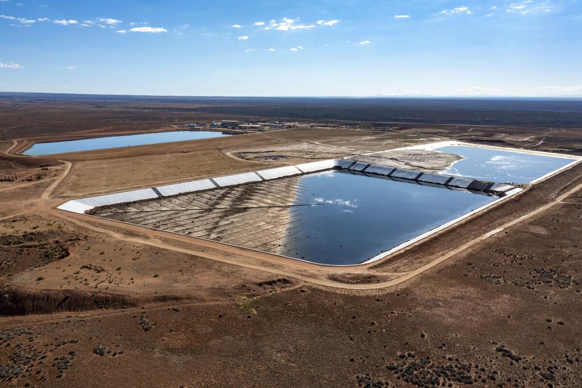
Reimondo participated in a panel that I moderated at Palo Verde, part of the annual conference of the Society of Environmental Journalists. She noted that the nation’s only active conventional uranium mill — where uranium is leached from crushed rock — is located in Utah, just a few miles from the Ute Mountain Ute Reservation.
Waste ponds at Energy Fuels’ White Mesa uranium mill in southeastern Utah.
(Jim West / UCG / Universal Images Group via Getty Images)
Even during the Biden years, Reimondo said, it was tough to overcome bipartisan enthusiasm for nuclear energy and “get folks to take seriously the impacts that [tribal] communities are feeling” from mining and milling.
“We just haven’t reached a place in this country where we are listening to these folks,” she said.
That dynamic has remained true during the second Trump administration. Just this week, Interior Secretary Doug Burgum said his agency would fast-track permitting for a uranium mine proposed by Anfield Energy in Utah’s San Juan County, completing the environmental review — which would normally take a year — in just 14 days.
Burgum and President Trump, like Biden-era officials before them, say it’s unwise for the U.S. to rely on overseas suppliers for nearly all its uranium. But many environmental activists, even some who are fans of nuclear, believe running roughshod over Indigenous nations and public lands is disgraceful. And counterproductive.
Victor Ibarra Jr., senior manager for nuclear energy at the nonprofit Clean Air Task Force, said rebuilding the U.S. nuclear power supply chain will require local buy-in — on the front end, where uranium is mined, and on the back end, where spent fuel is stored. Thus far, political opposition has derailed every attempt to build a permanent fuel storage site, meaning nuclear waste is piling up at power plants across the country.
If there’s any hope for more uranium mining and power plants, Ibarra said, it will involve a lot of conversations — conversations that lead to less pollution, and fewer mistakes like those made during the 20th century.
“I think it’s really unfortunate that the nuclear industry has behaved the way it has in the past,” he said.
The benefits of nuclear reactors are straightforward: They generate climate-friendly electricity around the clock, while taking up far less land than solar or wind farms. If building new nuclear plants were cheap and easy — and we could solve the lingering pollution and safety concerns — then doing so would be a climate no-brainer.
If only.
The only two nuclear reactors built in the U.S. in decades came online at Georgia Power’s Vogtle plant in 2023 and 2024, respectively, and cost $31 billion, according to the Associated Press. That was $17 billion over budget.
Units 1 and 2 at the Vogtle nuclear plant near Waynesboro, Ga., seen in 2024.
(Mike Stewart / Associated Press)
Meanwhile, efforts to build small modular reactors have proved more expensive than large nuclear plants.
“It would really be quite unprecedented in the history of engineering, and in the history of energy, for something that is much smaller to have a lower price per megawatt,” said Joe Romm, a senior researcher at the University of Pennsylvania’s Center for Science, Sustainability and the Media. “We try to make use of the economies of scale.”
Those setbacks haven’t stopped wealthy investors including billionaires Bill Gates and Jeff Bezos from bankrolling efforts to bring down the cost of small modular reactors, in hopes that mini-nuclear plants will someday join solar panels and wind turbines as crucial tools in replacing planet-warming fossil fuels.
I hope they succeed. But I’m not going to spend much time worrying about it.
Like I said earlier: Love it or hate it, nuclear is already a huge part of the nation’s power mix, including here in L.A. We’ve lived with it, almost always safely, for decades — at Palo Verde, at Washington state’s Centralia Generating Station, at the Diablo Canyon plant on California’s Central Coast. Nuclear, for all its flaws, is hardly the apocalyptic threat to humanity that its most righteous detractors make it out to be.
It’s also not the One True Solution to humanity’s energy woes, as many of its techno-optimist devotees claim it to be. There’s a reason that solar, wind and batteries made up nearly 94% of new power capacity built in the U.S. last year: They’re cheap. And although other technologies will be needed to help solar and wind phase out fossil fuels, some researchers have found that transitioning to 100% clean energy is possible even without nuclear.
So what’s the answer? Is nuclear power good or bad?
I wish it were that simple. To the extent existing nuclear plants limit the amount of new infrastructure we need to build to replace fossil fuels: good. To the extent we’re unable to eliminate pollution from uranium mining: bad. To the extent small reactors might give us another tool to complement solar and wind, alongside stuff like advanced geothermal — good, although we probably shouldn’t spend too much more taxpayer money on it yet.
Sorry not to offer up more enthusiasm, or more outrage. The climate crisis is a big, thorny problem that demands nuance and thoughtful reflection. Not every question can be answered with a snappy soundbite.
Before leaving Palo Verde, I stopped by the conference room for a last look at the paintings: Arizona. New Mexico. Texas. California. It was strange to think this plant was responsible for powering so many different places.
It was strange to think the uranium concealed beneath those domes could power so many different places.
A painting of metro Phoenix, on display at Arizona’s Palo Verde nuclear plant.
(Sammy Roth / Los Angeles Times)
This is the latest edition of Boiling Point, a newsletter about climate change and the environment in the American West. Sign up here to get it in your inbox. And listen to our “Boiling Point” podcast here.
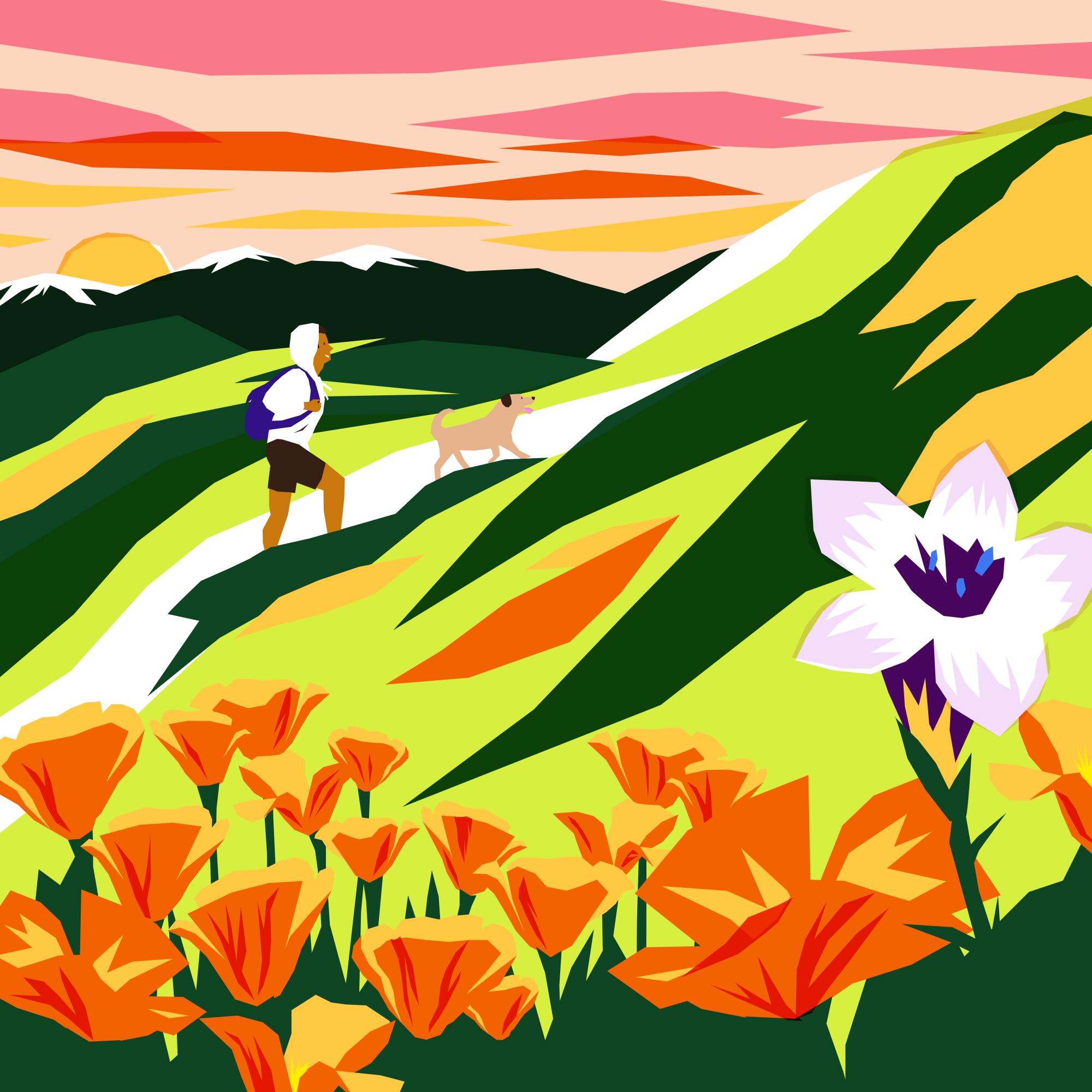
When vacationing in Los Angeles, you can truly choose your own adventure.
Those in search of luxury can stay in a five-star hotel, sleeping on a plush bed, soaking in a deep bath tub and lounging on a balcony with sweeping mountain views. But, among the mountains that surround L.A., a different kind of luxury is within reach. There you can sleep above the clouds, swim in deep river pools and watch the sun set over the same mountains seen from those nearby hotel balconies. And often, it’s free.
L.A.’s proximity to public lands offers the unique opportunity to slip away for a weekend backpacking trip with ease. In the same day, you could savor breakfast tacos in Grand Central Market and fall asleep under the stars at your campsite. In fact, in under an hour’s drive, you can start a hike to one of around 20 backpacking sites in Angeles National Forest or the Santa Monica Mountains.
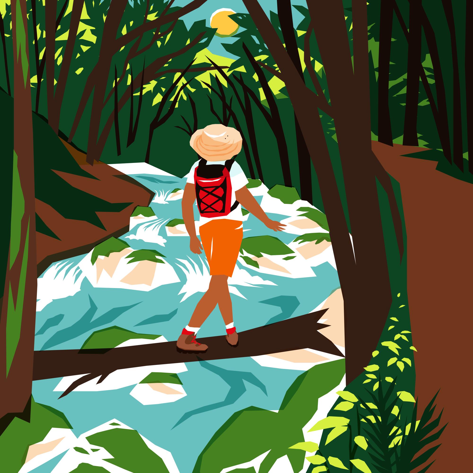
But it can be hard to know where to start. Backpacking, unlike camping, requires you to be entirely self-reliant. If you forget your toothbrush, there’s no 7-Eleven or camp store nearby to save you. It also means leaving behind certain luxuries, like a campground host to sell you firewood or the ability to pack every possible Trader Joe’s snack in your car. Everything you need must fit in your pack.
Not to worry, I’ve put together a comprehensive guide to becoming a competent — perhaps even expert — backpacker. It includes both a list of how to plan ahead to ensure you’re safe and ready, a curated list of backpacking sites near L.A. organized by the difficulty of the hike to reach them and how much “roughing it” each site requires.
I chose these spots, in part, because you don’t have to drive too far, they’re all first come, first served, the roads to reach them are paved and trails to reach each site are generally well-maintained. They’re also delightful hikes on their own, featuring wildflowers, native trees and loads of local birds and other critters. Each spot is isolated enough to make you feel like you’re outside the city without being so devoid of human life that it feels like you’re auditioning for the next season of “Naked and Afraid.”
Before diving in, though, let’s go over how to set yourself up for success when seeking sanctuary in our local mountains.
Unlike car camping, where you can pack every sweater, blanket and spoon you could imagine needing into your trunk, backpacking requires you to be selective. That is, unless you plan to carry 100 pounds of gear through the forest. What you will need to be self-sufficient will vary, and there are many great lists to guide you in what gear to bring, but I’ll run through the absolute necessities.
First, plan to bring enough calories to get you through your stay in the woods. It is generally recommended to pack between 1.5 to 2.5 pounds of food (2,500 to 4,500 calories) per day. (There’s a handy calculator here to determine your body weight, level of activity and amount of calories you’ll need.)
For the majority of the sites listed below, you will either need to bring your water or treat your water, for which there are several options. When it comes to the amount of water to bring, it will depend on the weather, your body’s preferences and the difficulty of the hike you’re taking to reach your campground. Some suggest one liter of water for every two hours you’ll hike, while others say it’s one liter of water for every five miles you’re traveling.
Campfires are not allowed on federal land in the Santa Monica Mountains. In Angeles National Forest, the fire danger level dictates when and what types of fire and fuel sources are allowed. As of this spring, the risk is “very high,” down from “extreme,” which means burning campfires in established fire pits and using most backpacking stoves is allowed. Before heading out, make sure you register for a California campfire permit, print it and have it on your person. It is required, regardless of wildfire risk.
Lastly, assume you won’t have cell service in Angeles National Forest or the Santa Monica Mountains, where the below campgrounds are located. You should fill out this form and share it with a friend, spouse or family member to ensure someone knows where you’re going. Also be sure to leave a copy on your vehicle’s window in case a rescue team needs to look for you. It’s important that you know where the closest fire or law enforcement station is to your campground — Angeles National Forest has a handful.
You should consider bringing a satellite communicator. Some newer model iPhones and Android devices can connect to satellites to send text messages. It’s best to test this while on a hike before planning to use it on a backpacking trip.
Getting there
Before heading out, check the weather and for road closures. Download your driving and hiking routes on your navigation apps. For example, Google Maps allows you to download a section of a map to use offline.
You should also bring a paper map. You can buy one at an outdoors outfitter or print one from a mapping site like CalTopo. I’ve downloaded a map from CalTopo and then printed it on waterproof paper at a FedEx office store. Having a physical map of the area will also allow you to see and navigate nearby trails, should you want to explore beyond your campsite.
(Marie Doazan for The Times)
For the seasoned car camper who’s backpacking-curious (beginner)
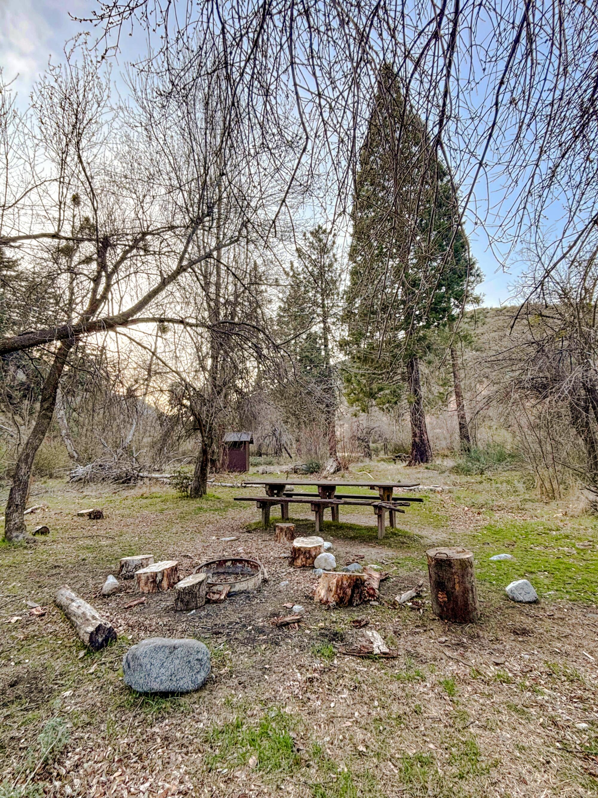
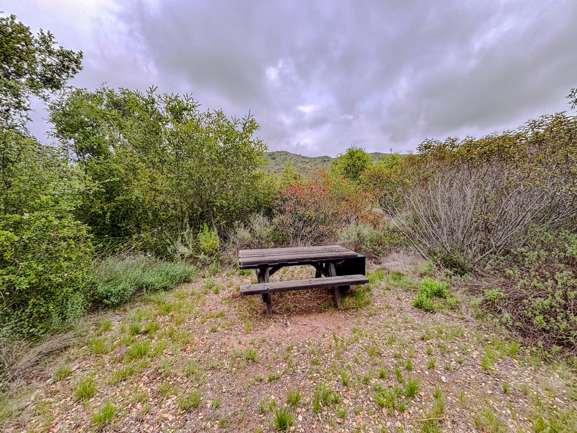
At each of these beginner-level backpacking sites, you will generally find water, either from a nearby stream or, in one spot, piped in. Their campsites feature picnic tables and have restrooms (including, in one case, flushing toilets!). The hikes to reach these two trail camps are short and, as a bonus, quite pleasant. You’ll likely spot wildflowers, including lupines and goldenrod, and you’ll be near trails to explore more, should you choose to venture out of your haven in the woods.
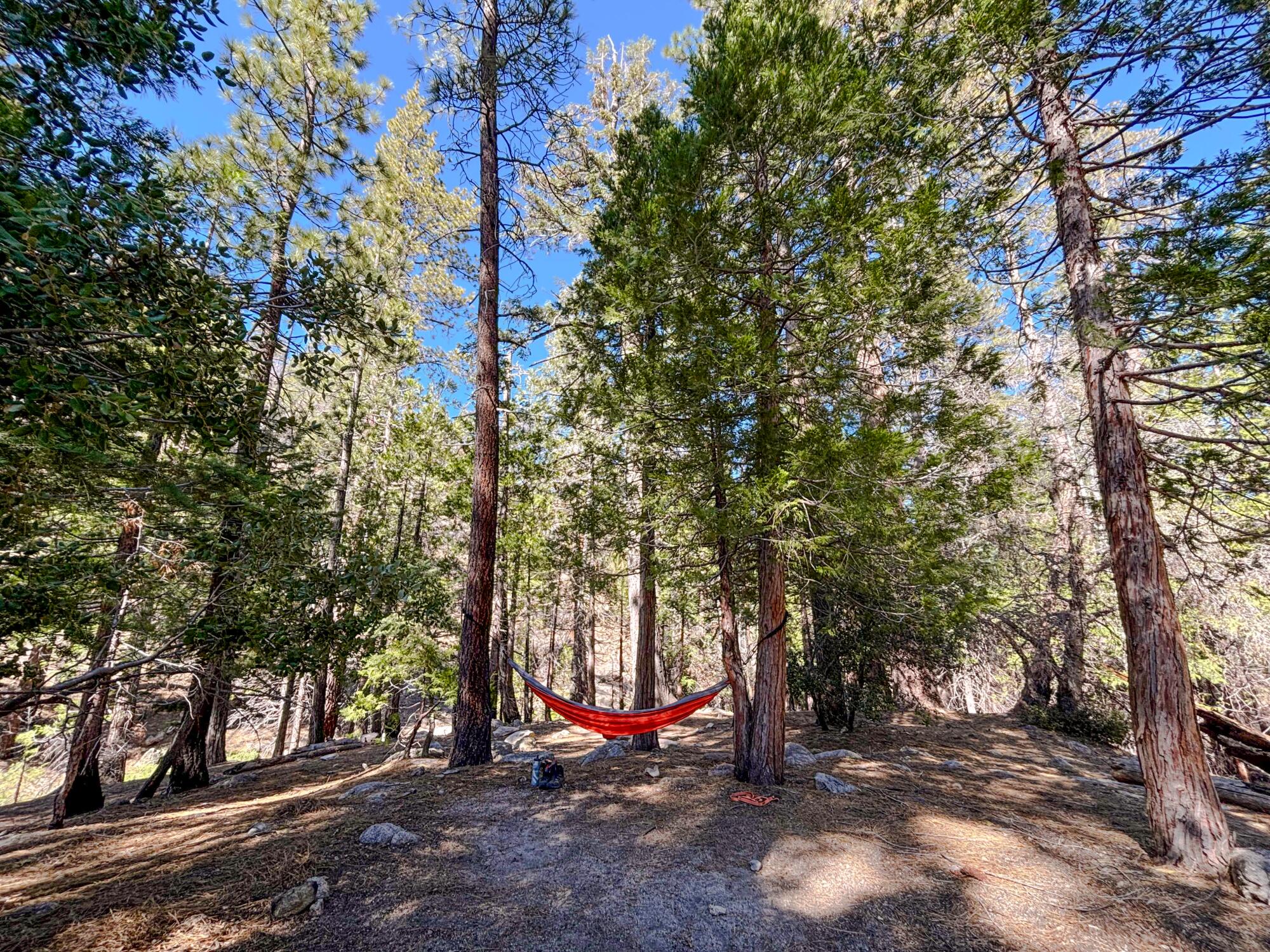
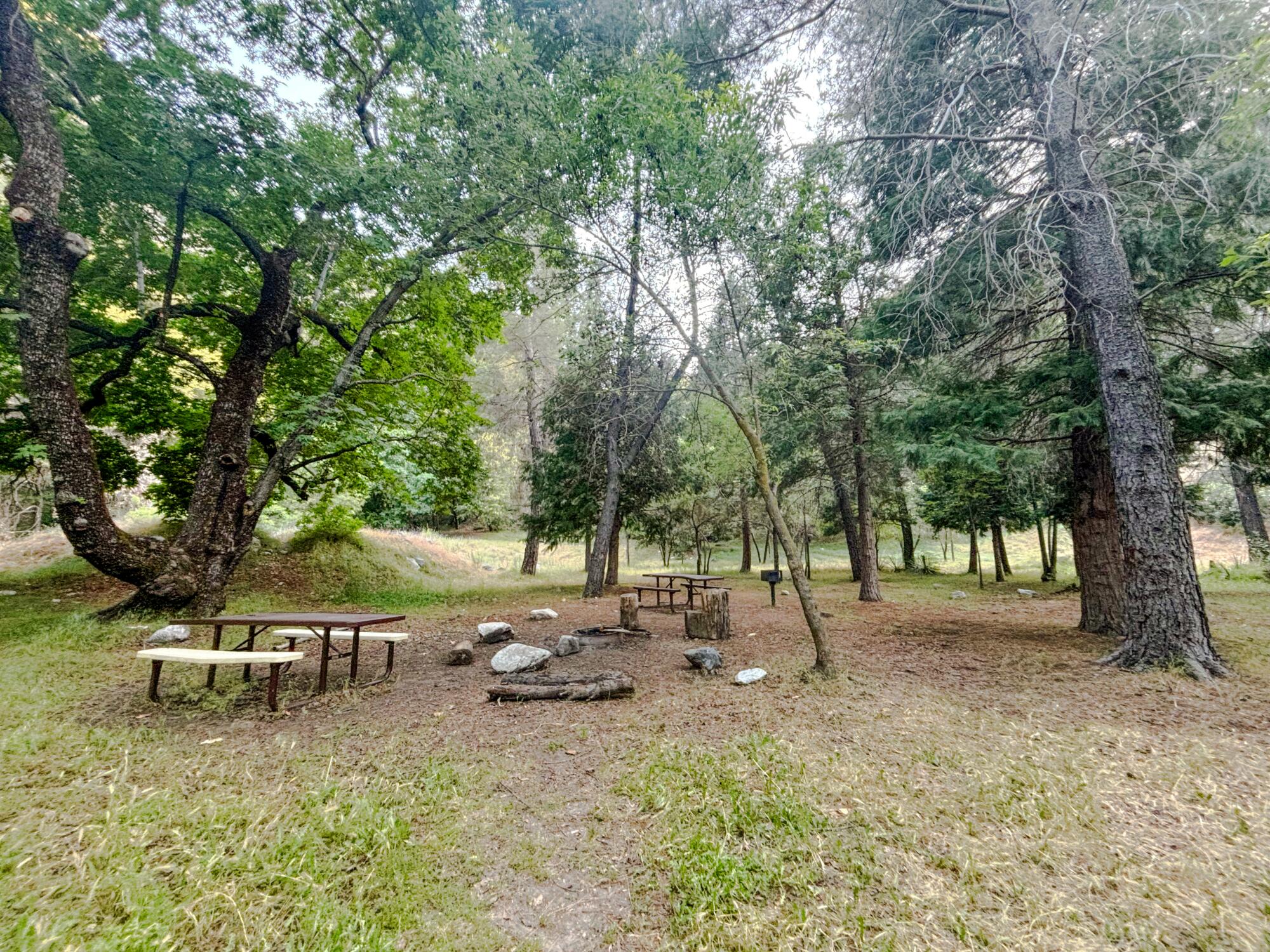
Cooper Canyon Trail Camp
The Cooper Canyon Trail Camp in Angeles National Forest.
(Jaclyn Cosgrove / Los Angeles Times)
The Cooper Canyon Trail Camp is a backcountry group campground shaded by towering old pine trees. It has five sites and features vault toilets, campfire rings, klamath stoves and large picnic tables. And unlike most of the spots on this list, bear-proof boxes are available to store food and scented items.
There is no piped water. Campers can pack in water, or filter water from the seasonal stream that flows next to the campground. Just over a mile east of the campground, this stream meets up with Little Rock Creek, which flows about 17 miles from the San Gabriel Mountains to the Mojave Desert. Cold plunges are optional but highly encouraged.
The trail camp can be reached three main ways:
Starting at the Cloudburst Summit trailhead, taking the Pacific Crest Trail mostly downhill 2.5 miles northeast to the trail camp.
Starting at the Cloudburst Summit trailhead, taking the fire road 1.5 miles down to the trail camp.
Starting at the Burkhart trailhead from the day use parking lot on the eastern end of the Buckhorn Campground. You will hike 1.5 miles north on a downhill path and then turn west onto the Pacific Crest Trail (also a part of the Silver Moccasin Trail). You will travel one mile uphill, gaining about 540 feet in elevation, before reaching the trail camp. (This is the most challenging of the three routes.)
Because it sits along the Pacific Crest Trail, the campground is also used by thru-hikers, including those taking the entire trail from Mexico to Canada. Perhaps you’ll make a new friend!
While at the campground, you could take a side trip to Cooper Canyon falls, or continue exploring the Pacific Crest Trail. Or, simply hang up a hammock and sway to the sound of the stream, songbirds and the gentle swoosh of the wind through the trees. Cooper Canyon has long been a beloved place to spend nights outdoors.
“If there is a moon, the nights are like a sparkling fairyland, and if no moon, one may see a million stars which those in the cities never know,” outdoorsman Will Thrall wrote of the area in 1936 in his Times column, “Your Hike Today.”
L.A. and its surrounding area have substantially more light pollution almost 90 years later, but the skies above Cooper Canyon Trail Camp will still delight any overnight visitor.
Musch Trail Camp
Musch Trail Camp is a small but charming campground in Topanga State Park that recently reopened after being spared by the Palisades fire.
The 82-acre Trippet Ranch, as it is known today, was originally called “Rancho Las Lomas Celestiales” by its owner Cora Larimore Trippet, a founding member of the Hollywood Bowl and once a national officer in the Woman’s Christian Temperance Union, according to her obituary and the Valley Relics Museum. She was married to judge Oscar A. Trippet.
The Musch Trail Camp is a small but charming site in Topanga State Park.
(Jaclyn Cosgrove / Los Angeles Times)
The property’s name translates to “Ranch of Heavenly Hills,” which still rings true today. You’ll hike the moderate Musch Trail from the Trippet Ranch parking lot of Topanga State Park, feasting your eyes on those aforementioned hills. In spring, the area will be dotted with wild blooms of sticky monkey flower, canyon sunflower and golden yarrow.
Unlike every other site on this list, Musch Trail Camp has flush toilets, sinks and potable water. What a luxury! The only caveat is, per a park staffer I spoke with, maintenance staff turns the water on when they know campers are coming. Before heading out, please call the Angeles District of California State Parks at (818) 880-0363 to ask them to have the water turned on.
On top of having potable water, it’s only a mile hike to reach this site. You’ll park in the Trippet Ranch lot in Topanga State Park and pay the parking fee ($10 per night). The trailhead is in the northeast corner of the lot near the small pond. Enjoy the lush flora along the way. Upon arrival, drop your camping fee ($7 per night) in the iron ranger.
While at the campground, I felt a bit like Snow White as I sat quietly observing quail, hummingbirds and moles, and heard something crunching on a leafy meal (probably a deer). Though this little nook in Topanga State Park is likely safe from evil queens.
(Marie Doazan for The Times)
Our intermediate sites are a bit farther to reach than the beginner options, and in one case, requires you to bring your own water. They both have picnic tables and tall shade trees where you can rest with a book or journal. They also both have vault toilets and, when I visited, were even stocked with toilet paper. Both allowed me alone time with nature that’s rare to find on L.A.’s more heavily trafficked urban trails. The surrounding hillsides and old trees were excellent company in themselves, and made me feel at peace. I hope you find a similar serenity on your travels!
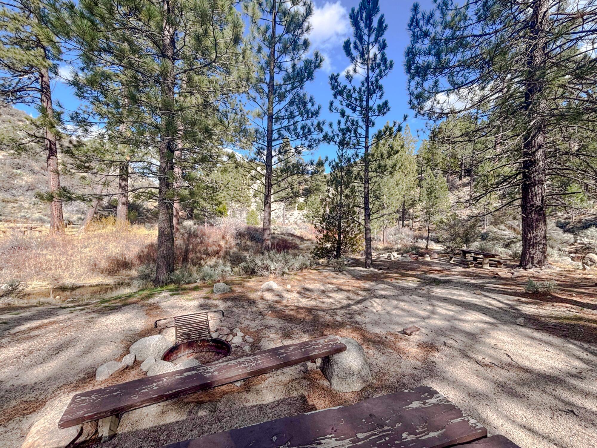
Valley Forge Trail Camp
The Valley Forge Trail Camp is a refreshing refuge of mighty pines next to the pristine West Fork of the San Gabriel River. It has six group campsites with picnic tables and campfire rings, and has four well-maintained vault toilets. At night, it offers clear views of the starry sky.
One of a handful of sites at the Valley Forge Trail Camp in Angeles National Forest.
(Jaclyn Cosgrove / Los Angeles Times)
It has all those things. But it does not have piped water. Campers will need to either bring their own or treat the water in the river (when flowing).
To reach the campground, you have the choice of two routes:
Parking at the Red Box Picnic Area and taking the Gabrielino National Recreation Trail about 2.4 miles down. This moderate hike follows the West Fork of the San Gabriel River and features large oak trees and other gorgeous native foliage.
Parking at Red Box Picnic Area and taking the Rincon Red Box Road, a fire road, about 3.2 miles down. On the way back, you’ll gain about 1,200 feet in elevation.
And as a bonus, because both routes start near the Red Box Picnic Area, you can take one up and one down if you’d like a change of scenery on the way back.
The campsite’s name is a reference to the Valley Forge Lodge, which operated in the area in the early 1900s. It was advertised as “the camp with real old Western hospitality” and featured dinner dances, badminton and trout fishing. Its guest list included celebrities like actor Lon Chaney, “the man of a thousand faces,” who in the summer of 1927 was among those lucky enough to catch trout.
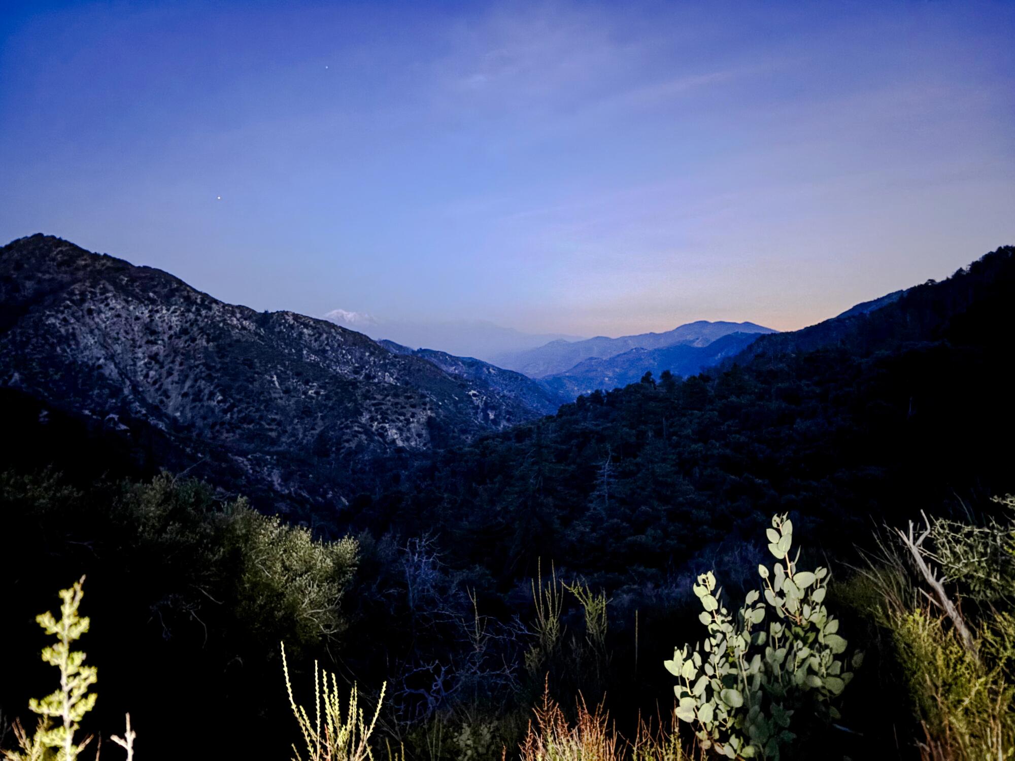
The sunset from the trail to reach the Valley Forge Trail Camp.
(Jaclyn Cosgrove / Los Angeles Times)
Even though the lodge is gone, its description in a 1937 advertisement holds true: “Cool and delightfully wooden location” with bubbling streams. These days the trout are few, but you’ll fall asleep listening to the nearby frogs and toads serenading the night from their river homes.
Sulphur Springs Trail Camp
Sulphur Springs Trail Camp sits at 5,300 feet in Angeles National Forest and features about six tent-camping sites. Just off the Pacific Crest Trail, its campsites are shaded by tall pine trees, ideal for hanging a hammock. It has vault toilets but no potable water or bear boxes.
Although the South Fork of Little Rock Creek runs through the campground, the water was, to use a scientific term, kind of gross. Portions of the creek appeared clear, but other parts were full of algae and made me question whether even filtering would make the water safe to drink.
There’s a faucet on the eastern end of the campground where water from the creek is piped, but upon my arrival, the trough where the water came out was covered in thick green algae. A sign next to it reads “Water not tested, Boil for 5 minutes before use.” Although there might be water available in late winter and early spring, I would not expect there to be much come summer. And even then, I will still plan to bring my own water.
The sites at Sulphur Springs Trail Camp in Angeles National Forest feature picnic tables and fire pits, along with tall pine and other native trees.
(Jaclyn Cosgrove / Los Angeles Times)
To reach the campground, you’ll park at Three Points and cross the street to access the trailhead. There was a large tree blocking my view of the trailhead when I visited in early April, but upon squinting at my map, I found it. I hope it’s cleared when you go!
Sulphur Springs Trail Camp
You’ll take the Pacific Crest Trail about 3.6 miles to reach the trail camp. There are several boulders in the first mile of the hike, including one area where you can scramble about just under half a mile in. Be mindful of rattlesnakes, as it looks like the perfect spot for them to nap.
The trail seems to transverse through an ecotone, a transitional zone between plant communities, switching between high desert and pine forest ecosystems. You’ll pass through patches of manzanita and yucca and then forested parts with Coulter pines, all the while with a view of the valley below.
When I left the trail camp late in the day, the golden sun blanketed the tree-lined mountainsides. I was reminded of just how many shades of green can be seen when one takes time to explore — to escape — into the forest. It was a five-star experience.
(Marie Doazan for The Times)
For those seeking self-sufficiency — and a break from noisy neighbors (advanced)
The campsites below are the farthest hikes on the list, but both of the hikes to reach them are spectacular. One provides tremendous ocean views while the other is a stunning paved path through the dense forest. As a bonus, you can bike to the second site if bikepacking is something you’re into.
The only amenity both offer is a picnic table. One site does have a single vault toilet.
That said, these two sites are a true escape, and you’ll likely see wildlife like mule deer and hear the howls of coyotes.
La Jolla Walk-In Campsite
The La Jolla Walk-In Campsite is a small campground in dense chaparral in Point Mugu State Park in the Santa Monica Mountains. It has three small sites featuring a picnic table with a metal box attached for food and scented items. There is a seasonal stream, but it’s often dry. Campers should plan to pack water in. There are no fires allowed and unfortunately dogs are not invited to join. It costs just $10 per night, a fee campers prepay at the La Jolla/Ray Miller parking area.
The campground is half a mile off the Backbone Trail in the Santa Monica Mountains, offering an overnight option for those wanting to tackle more of the iconic trail than can be accomplished in a day.
You can reach the campground by parking at the lot off Highway 1. Although it’s possible to leave your car outside the park for a day hike, parking isn’t allowed on the shoulder daily from 10 p.m. to 5 a.m.
The campsites at La Jolla Walk-In Campsite are rustic but provide privacy and clear views of the night sky.
(Jaclyn Cosgrove / Los Angeles Times)
You’ll start at the Ray Miller Trailhead, named after California State Park’s first official campground host, and take the route, also known as the Backbone Trail, about 4.6 miles before turning west onto the La Jolla Valley Fire Road, which will take you the half mile to the trail camp.
The scenery along the way is stunning and diverse. For the first 2.5 miles of the hike, you’ll be rewarded with better and better ocean views as you gain elevation, including two miles in when you can see a gorgeous stretch of coast line.
You will transition from the Ray Miller Trail to the Overlook Fire Road — all still the Backbone Trail — about 2.6 miles in. At this point, you’ll mostly lose the ocean view but be greeted by a diversity of local plants, including wildflowers like spreading phlox, and varieties of poppies, lupines and paintbrushes.
La Jolla Walk-In Campsite
This trail camp is also reachable by starting at the Chumash Trail, but given that trail’s steepness, this reporter isn’t advising that as an option for backpackers. (Even if it is a shorter route to reach the campground.)
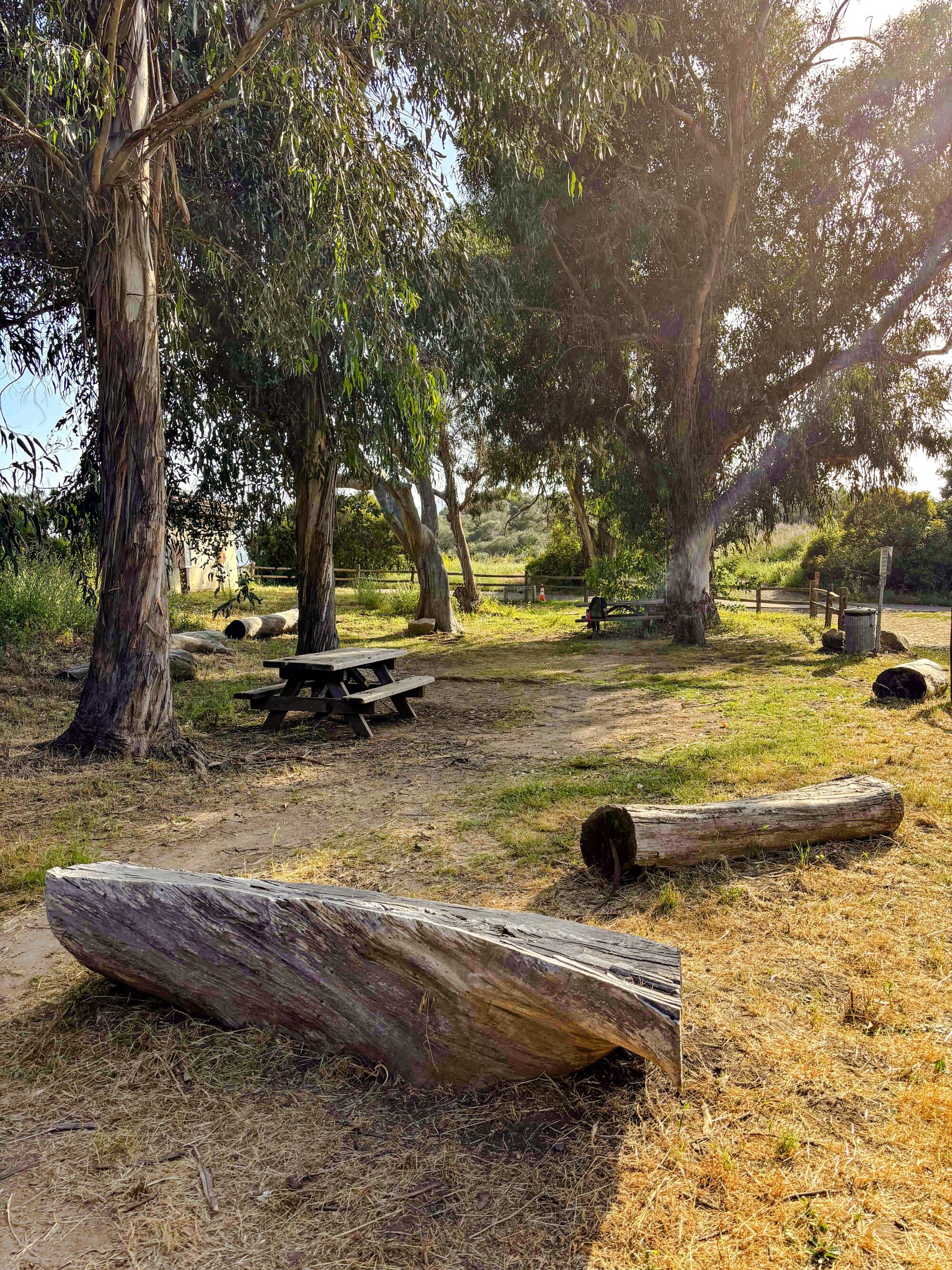
Glenn Camp Campground
The Glenn Camp Campground is a 10-site forested haven next to the West Fork of the San Gabriel River. It is open year round and features picnic tables, grills and fire pits.
There is no piped water. Campers will need to either bring their own or filter water from the nearby river.
The Glenn Camp Campground in the San Gabriel Mountains in Angeles National Forest.
(Jaclyn Cosgrove / Los Angeles Times)
The restrooms are, unfortunately, closed until further notice. You’ll need to relieve yourself ideally 200 feet from the river, especially when you have to — hey, let’s just say it! — poop. You’ll want to bring a trowel, and have a plan for toilet paper. (This how-to video is worth watching before heading out) The best practice is to pack it out. If you plan to use natural elements for wiping, make sure you know what poison ivy and other unfriendly plants look like. Not something you want to explain to the doctor at urgent care!
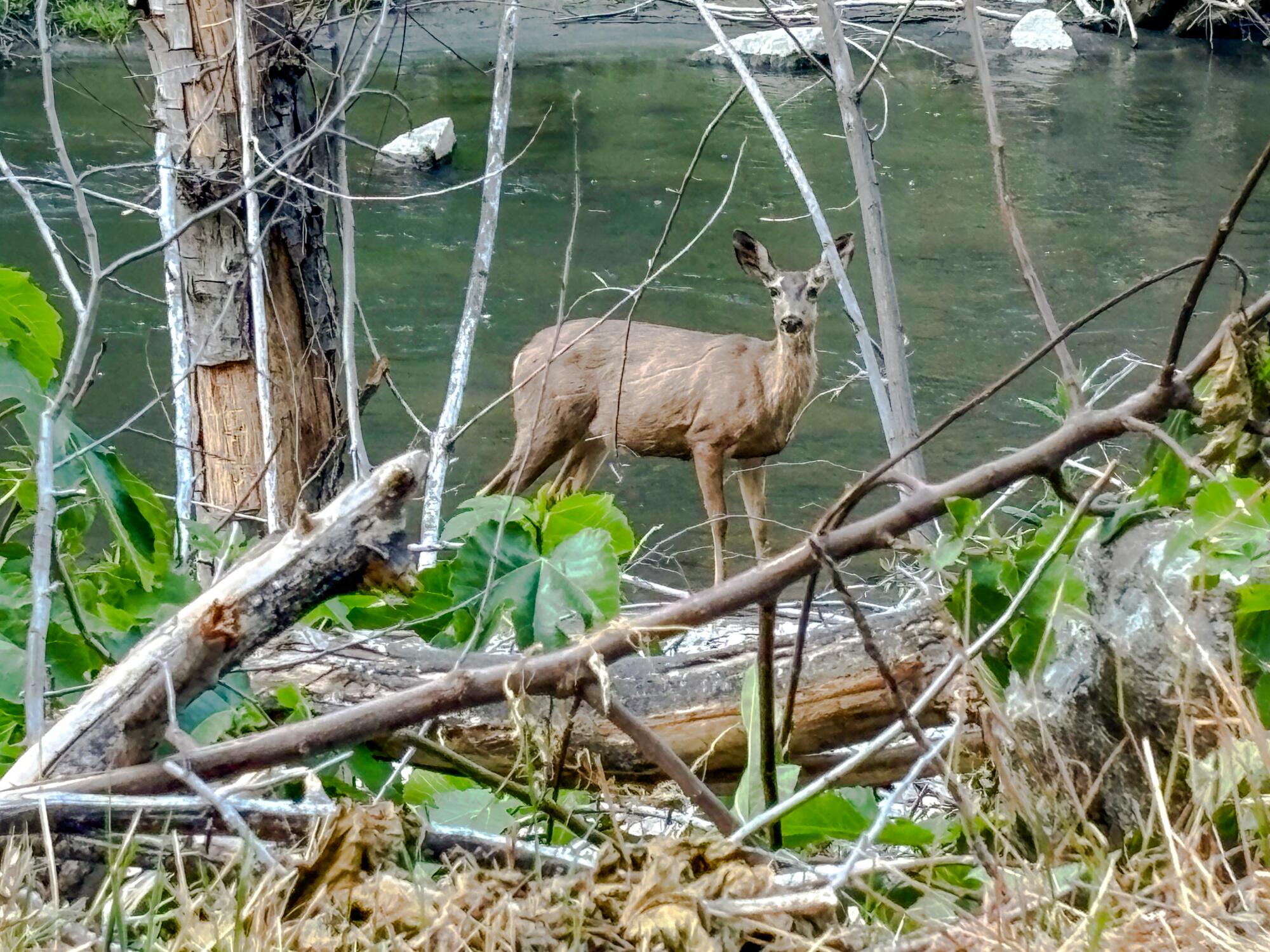
A deer stands on the bank of the West Fork of the San Gabriel River near the Glenn Camp Campground.
(Jaclyn Cosgrove / Los Angeles Times)
This campground was previously open only on the weekends because of nearby construction, but that restriction has ended.
To reach the campground, you can either hike or bike the seven-mile West Fork National Scenic Bikeway. You will gain just over 500 feet in elevation as you travel along this mostly paved path that runs parallel to the West Fork of the San Gabriel River. After a good rain, waterfalls run down the hillsides next to the path. Yes, it is as heavenly as it sounds.
The campground sits next to the river and is shaded by old-growth trees, including at least one you could climb into and read a book. Yeah, that’s freedom!
Remember
In a world where our phones can quickly provide us with anything we’re willing to pay a delivery fee for, backpacking can offer a necessary reset for our over-reliance on technology. Stepping away into the L.A. mountains, you’ll be greeted with a sound bath from crickets and birds as the smell of pine, sage and bay laurel fills your nostrils. It is an opportunity to be present with yourself and those around you, and worry yourself only with questions of whether someone should throw another log on the fire. Deep bathtub be damned, that sense of presence is the greatest luxury of all.