Want to escape L.A.? California’s BLM land remains wild and often free
One of the most maddening situations that any L.A. outdoors lover can experience is wanting to go camping only to find that every campground within a 100-mile radius is booked for months.
L.A. resident Josh Jackson found himself in that predicament in January 2015. He asked a friend whether he knew of any place Jackson could take two of his kids camping. “What about BLM land?” his friend said. “I don’t think you need reservations.”
Newsletter
You are reading The Wild newsletter
Sign up to get expert tips on the best of Southern California’s beaches, trails, parks, deserts, forests and mountains in your inbox every Thursday
You may occasionally receive promotional content from the Los Angeles Times.
Jackson wasn’t familiar with the federal Bureau of Land Management or the 245 million acres of public land, primarily in the West, that the agency manages.
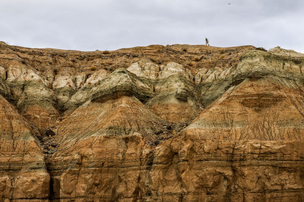
Jackson couldn’t have known that his trip with his children to the Trona Pinnacles would launch a 10-year obsession that would take him hundreds of miles across the West where he’d find solitude and sanctuary in areas dubbed by historians as “leftover lands” because they weren’t seen as valuable by homesteaders, multiple federal agencies and developers.
On Tuesday, Jackson’s decade-long odyssey was published in “The Enduring Wild: A Journey Into California’s Public Lands” (Heyday), which he spent 42 months and took 32 trips, walking 400 miles through BLM lands, to write. The book is a continuation of the work he’s done on his Forgotten Lands project.
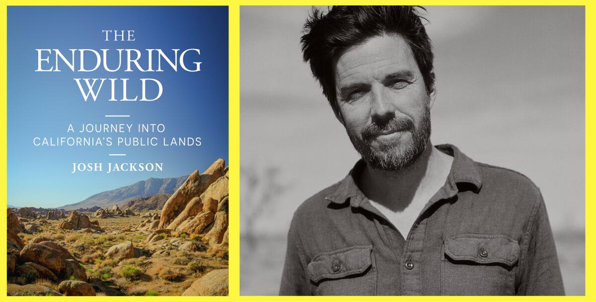
Josh Jackson’s “The Enduring Wild” published this week.
(Heyday Books; Asher Moss)
“I had almost no idea what lay ahead, but I wanted to find out,” Jackson wrote. “If these so-called leftover lands had a story to tell, I wanted to play a small part in telling it.”
“The Enduring Wild” is not a guidebook but rather a beautifully crafted introduction into California’s 15 million(ish) acres of BLM land and how Jackson fell in love with them through his exploration of them.
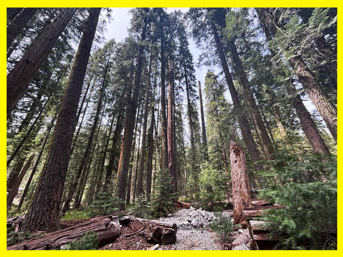
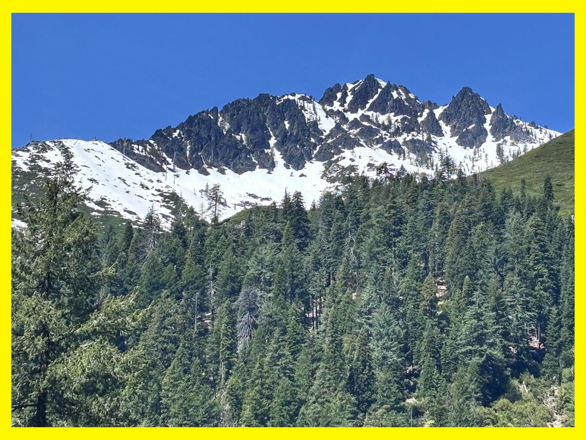
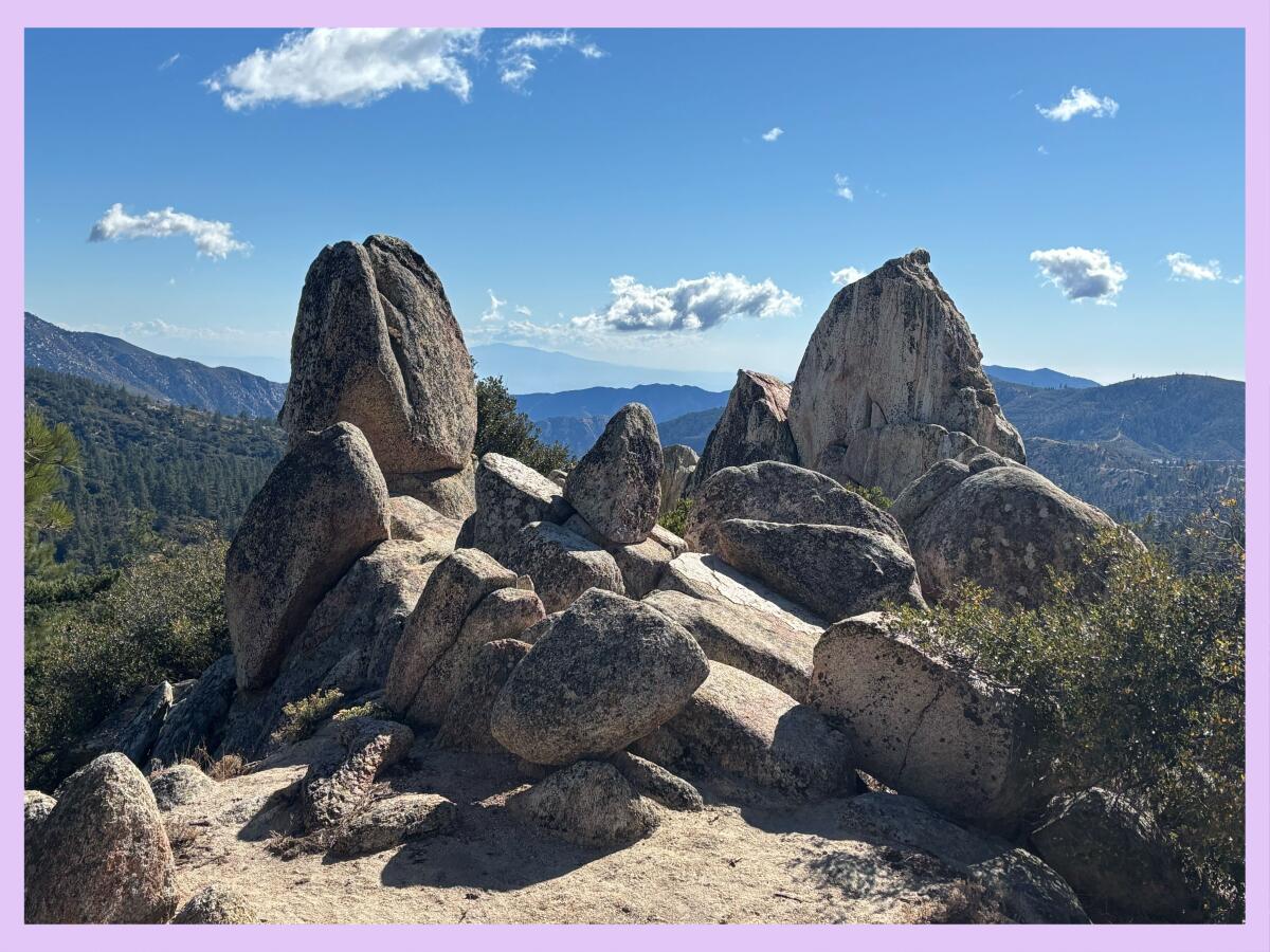
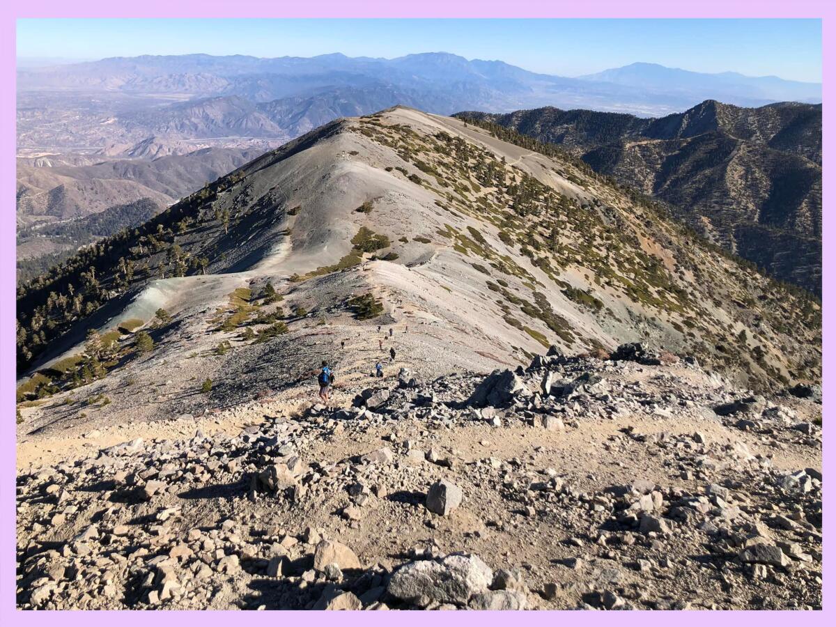
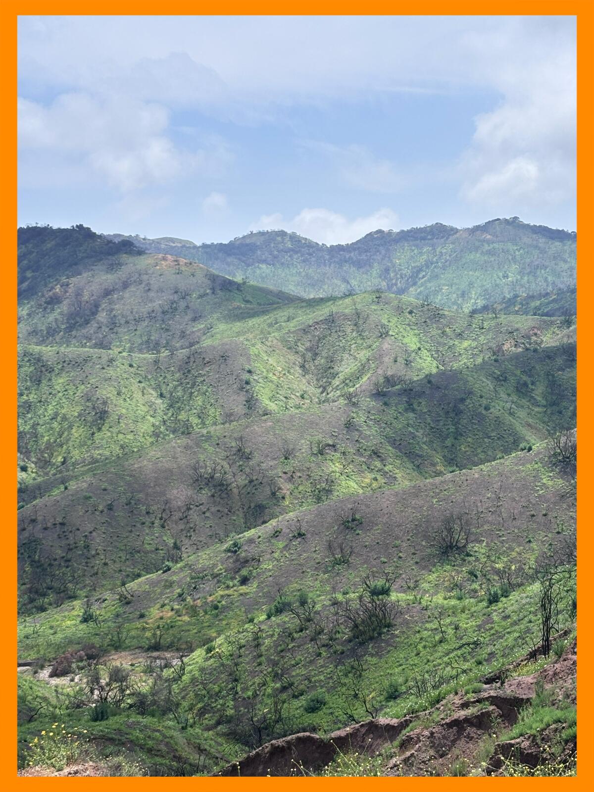
He shares many of his adventures, highlighting experiences on BLM lands in the Mojave, Carrizo Plain National Monument, the Borderlands, the Eastern Sierra, Berryessa Snow Mountain National Monument and the King Range National Conservation Area where (insert longing sigh from me) you can hike along the Lost Coast.
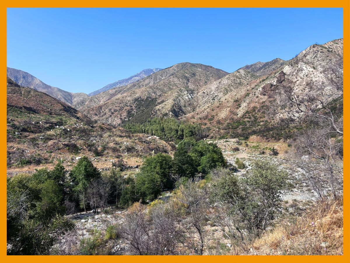
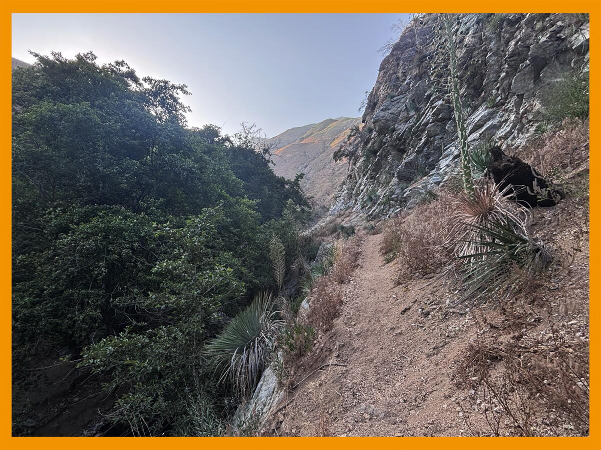
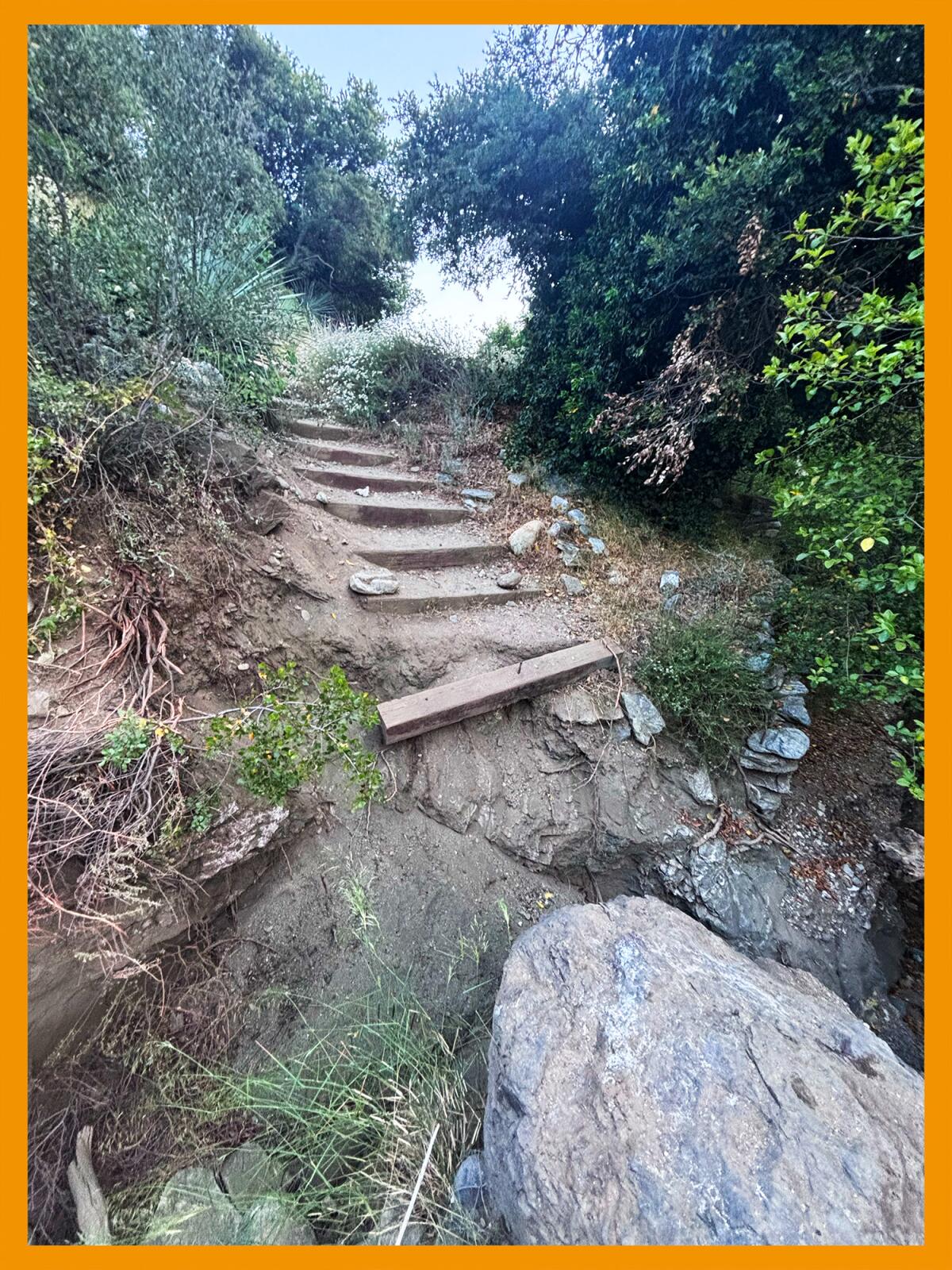
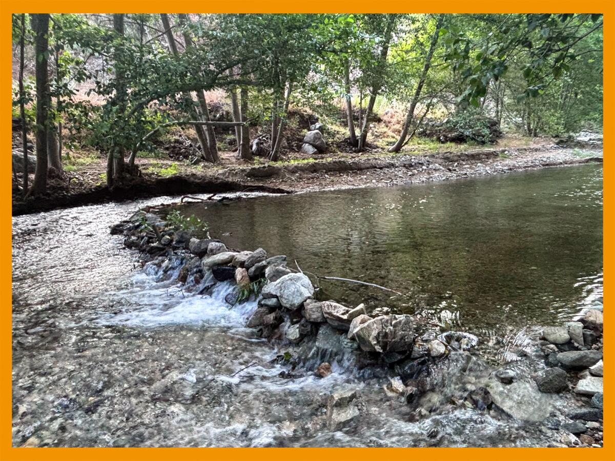
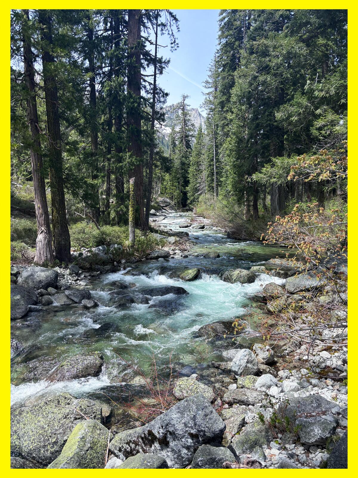
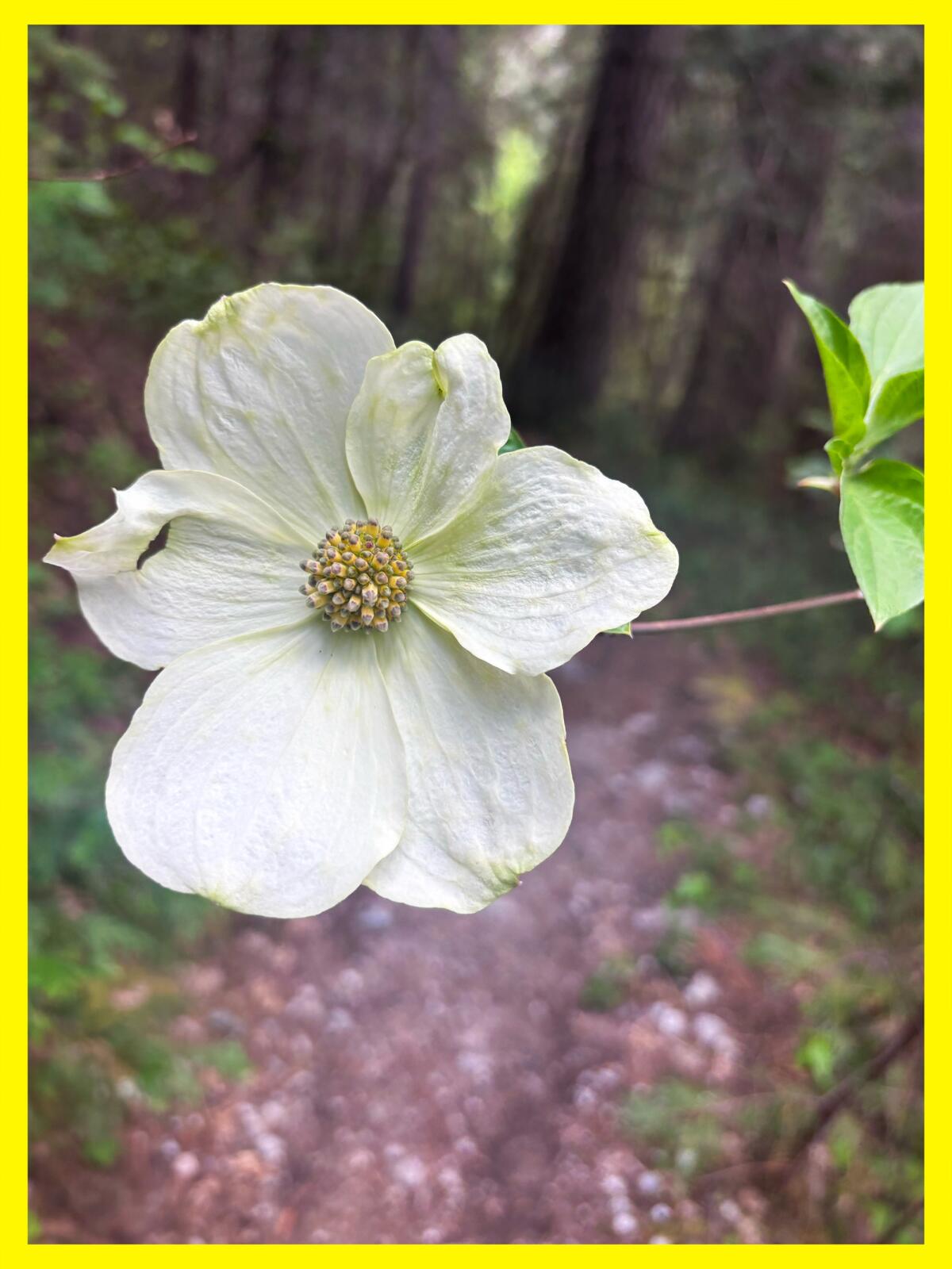
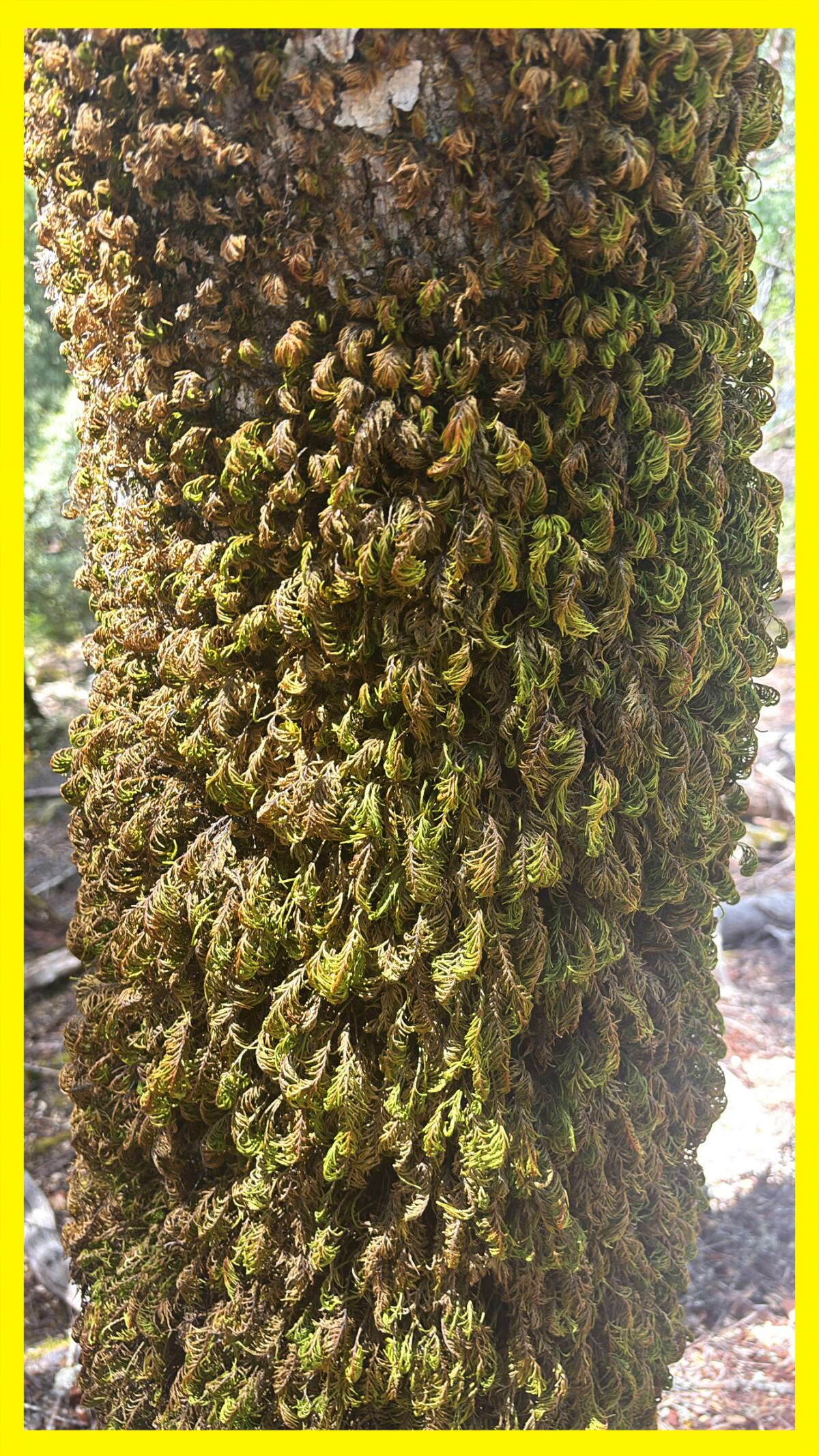
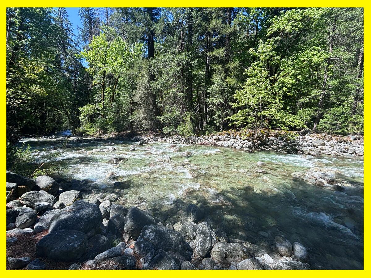
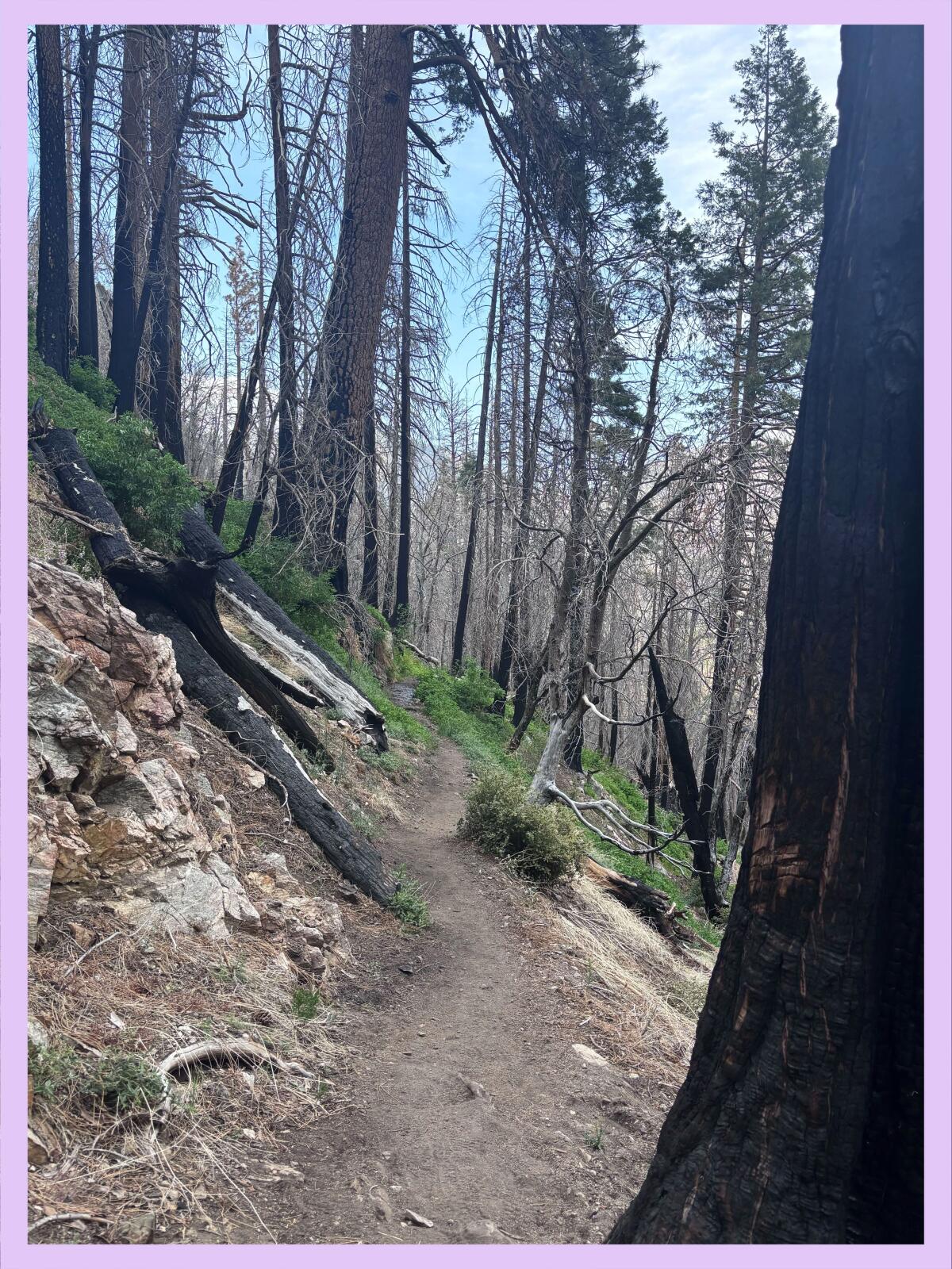
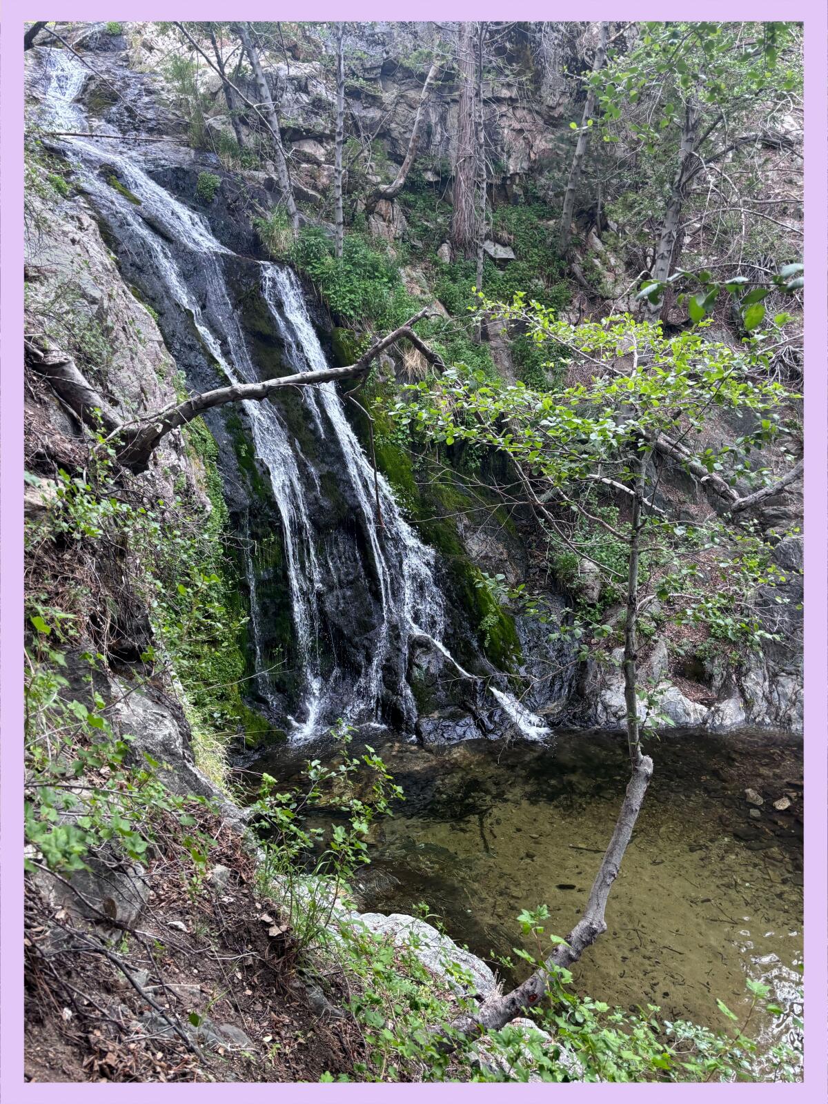
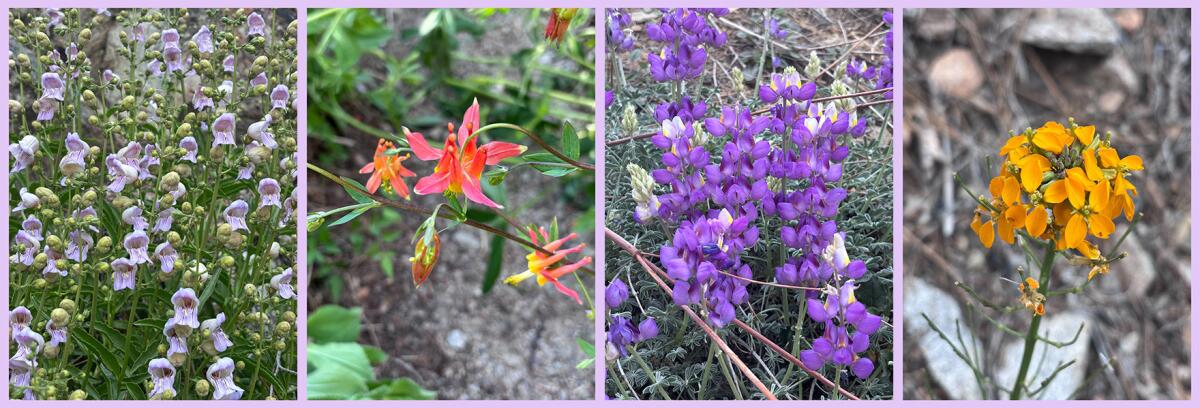
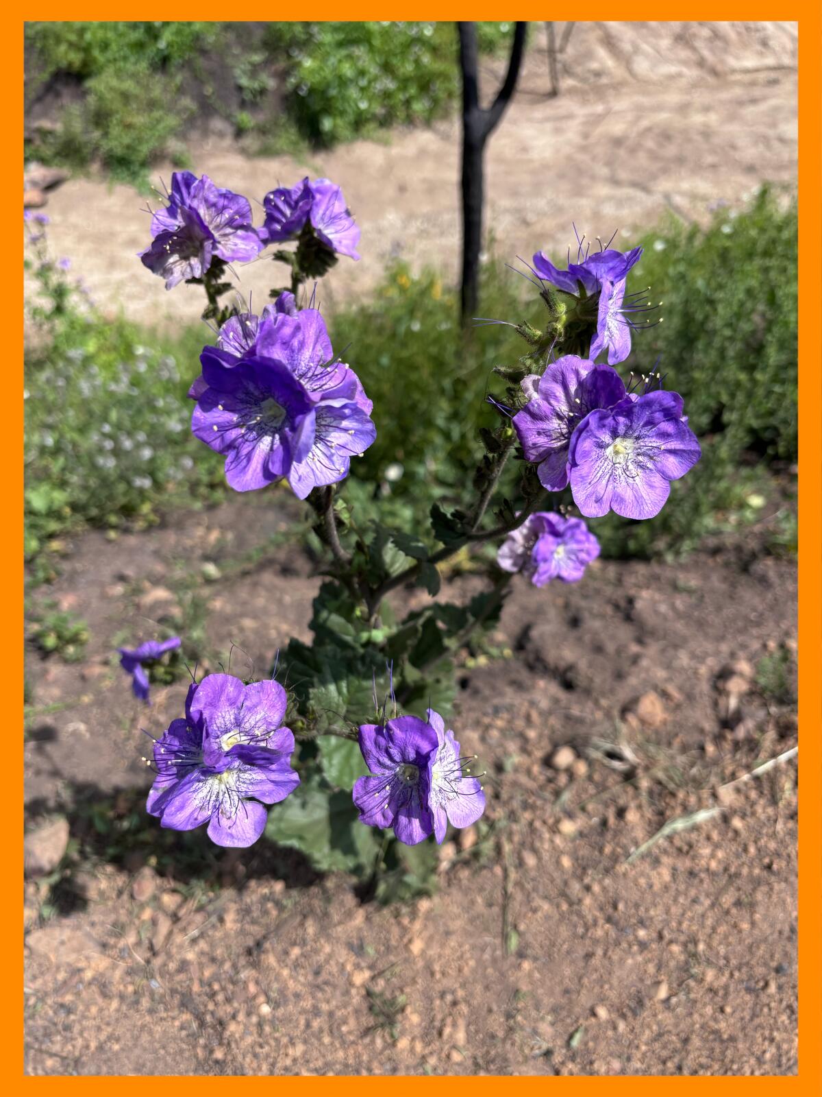
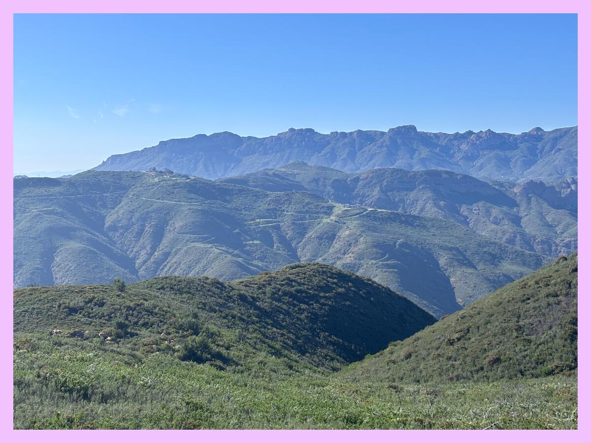
I asked Jackson if we could hike at a BLM spot near L.A., so last week, we met up at the Whitewater Preserve, a gorgeous desert canyon where you can swim in the Whitewater River and hike along the Pacific Crest Trail and other paths through BLM land. As our feet crunched through the sandy soil, we kept pausing to stop and marvel at the surprises of the desert (and curse aloud that we couldn’t spot any bighorn sheep).

Josh Jackson, author of “The Enduring Wild,” looks for bighorn sheep often spotted in the Whitewater Preserve and surrounding BLM land.
(Jaclyn Cosgrove / Los Angeles Times)
I was so eager to talk to Jackson. I have long been BLM curious. I am a type B person who sometimes misses deadline because I’m daydreaming about my next trip, and lately those daydreams have included what it would be like to explore remote places without official trails. But I felt intimidated to get started.
I asked him — for you Wilders, of course — how someone who might not be ready to navigate their own way could start exploring California’s BLM lands, which vary from remote swaths of land to a national monument with a staffed office, without getting totally lost in the desert (not that anyone here has had a nightmare about that).
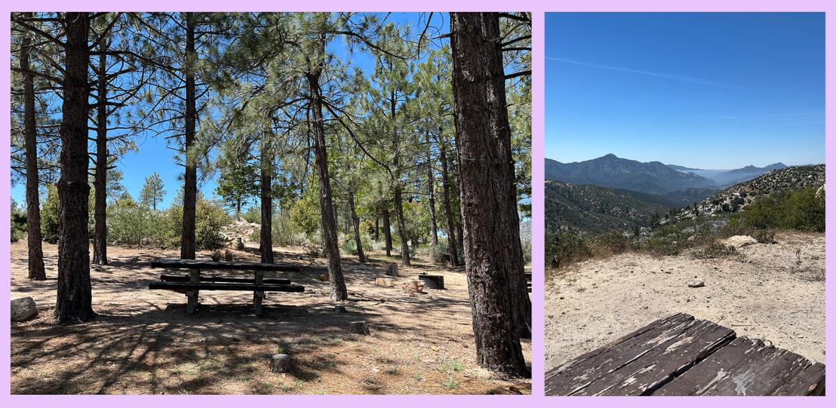
“The gateway to BLM land in California is 100% the 60-plus campgrounds,” Jackson said. “They’re all first-come first-served. No reservations. They’re free to $10 a night… Those are easy gateways because, by campgrounds, there’s almost always trails. There’s infrastructure. Almost all of them have a pit toilet and maybe a shade structure in the desert or a fire ring.”
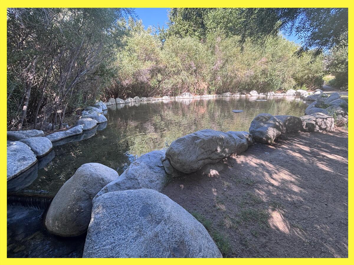
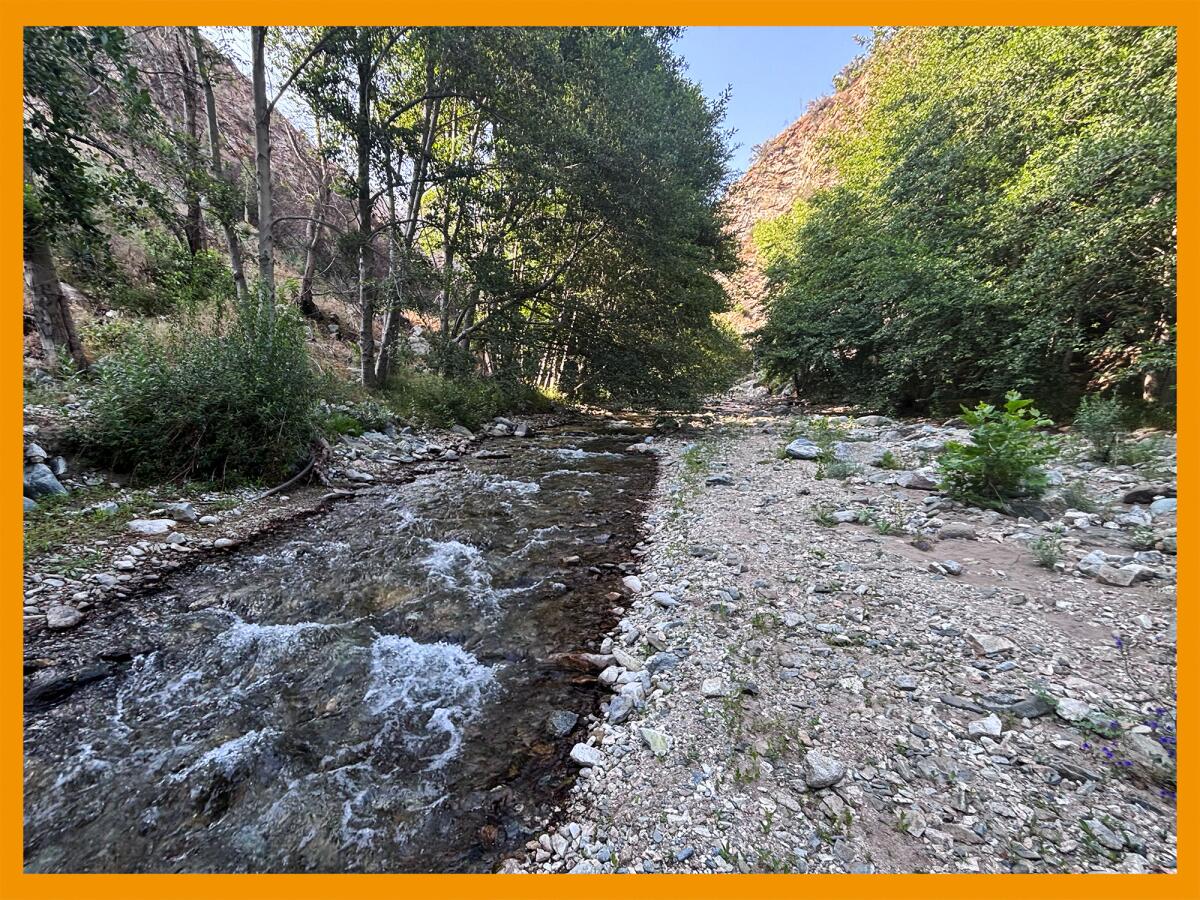
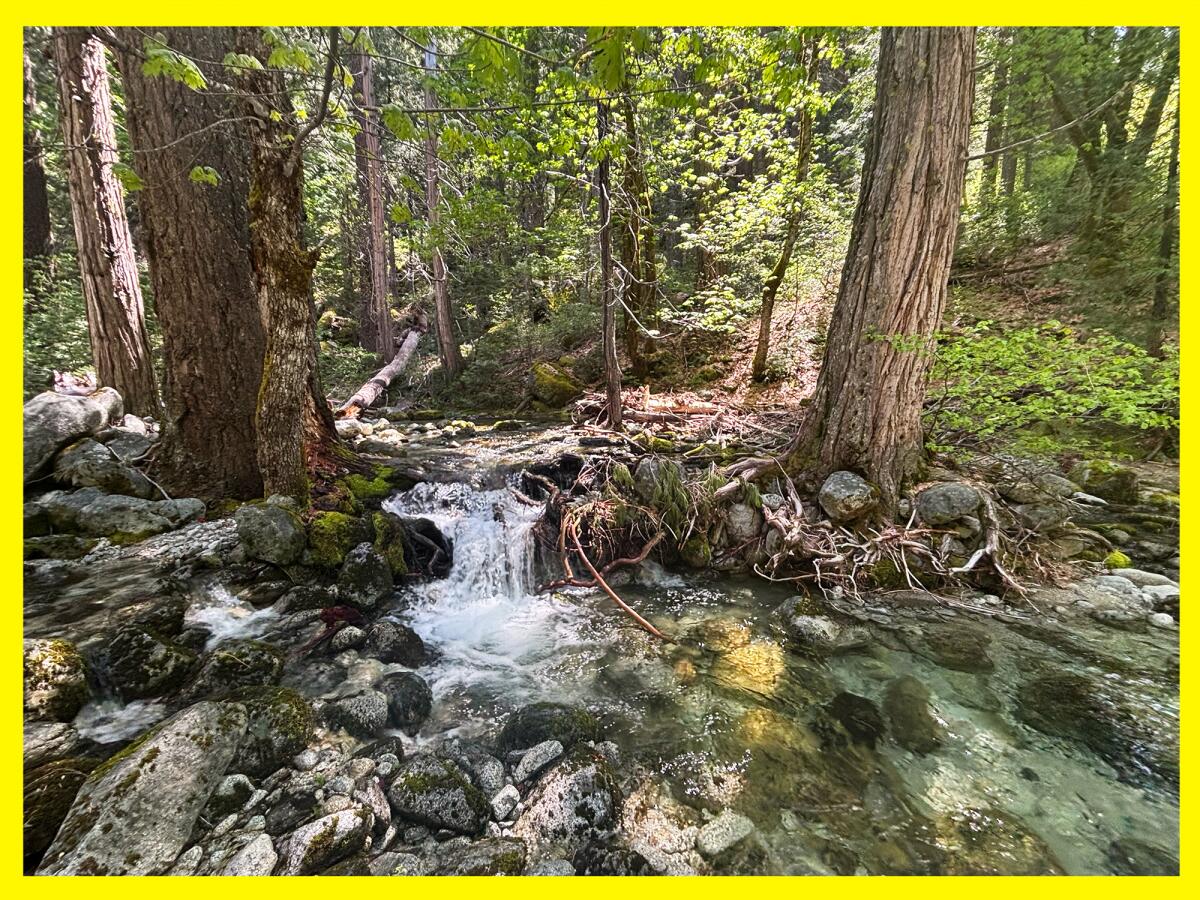
A refreshing swimming hole at the Whitewater Preserve.
(Jaclyn Cosgrove / Los Angeles Times)
Jackson also recommended for BLM newbies to go hiking at national monuments in California like Sand to Snow National Monument where we spent the morning last week. And for any BLM land you’re interested in visiting, Jackson suggests calling the field office where staffers can answer your questions about camping spots, road conditions and trails.
As we hiked, I asked Jackson how he navigates the dichotomy between encouraging the general public to visit BLM lands and protecting them from getting trashed by jerky interlopers. It’s a challenge that any outdoors writer, myself included, has to keep top of mind.
Jackson said that, for one, you won’t find GPS coordinates to streams, hot springs or other natural areas in his book.
“I’m trying to paint a picture, let’s say, of the Carrizo National Plain Monument, which is 250,000 acres,” he said. “Yes, there are some campgrounds. Yes, there are a couple of trails, but … I’m trying to [show] what it feels like to be here and [show] some images I took in hopes more people will get out there and experience them for themselves.”
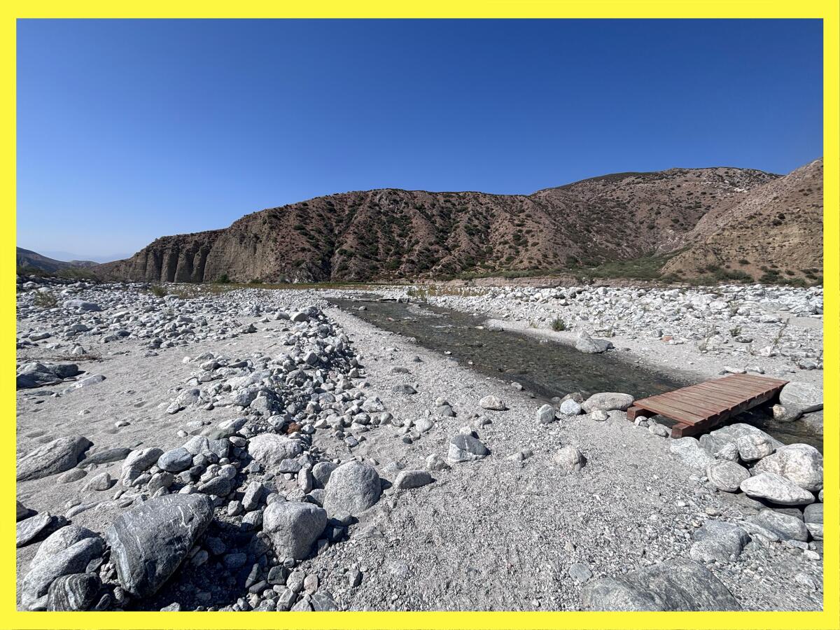
The Whitewater Preserve features the Whitewater River, which starts on 11,499 foot Mount San Gorgonio and runs 28 miles through the Coachella Valley area.
(Jaclyn Cosgrove / Los Angeles Times)
Our smartphones and copious number of hiking apps have made it easy to find trails near us. But, Jackson writes, one of the most fun parts of visiting BLM land is all the research you must do before arriving.
BLM lands offer an alternative choose-your-own-adventure experience for those willing to comb over maps and other websites, which you can find more about in Jackson’s “Guide for Exploration,” a short chapter where he provides organizations, tips and best practices to get you started on your journey. Note: This type of information looks simple to gather, but given the rugged and sweeping nature of BLM land, it likely took hours to compile. (Thank you, Josh!)
The BLM land highlighted in Jackson’s book was part of what was threatened to be sold by Congress in recent weeks. Jackson writes in his book about the many threats that remain for BLM lands, including mining and overgrazing.
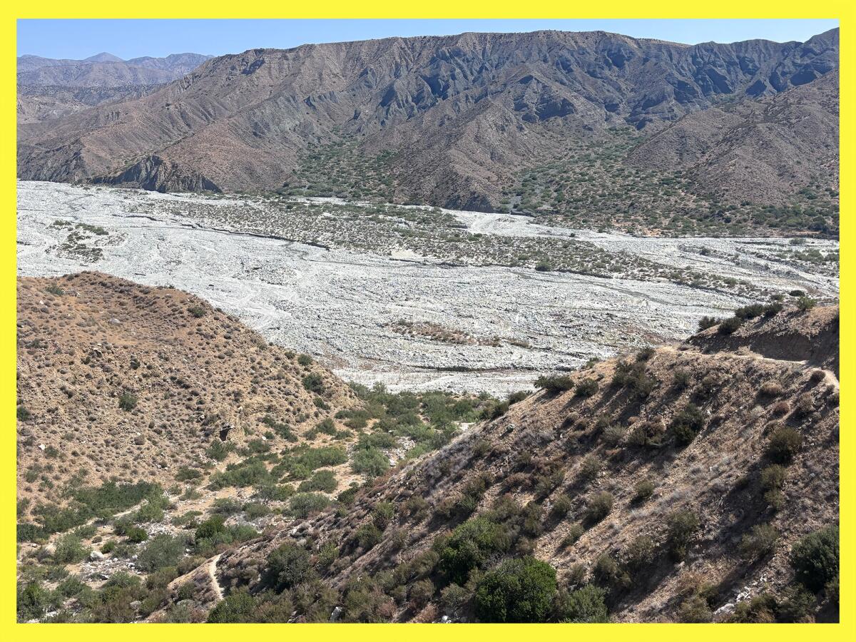
The view from a segment of the Pacific Crest Trail that passes through the Bureau of Land Management land adjacent to the Whitewater Preserve.
(Jaclyn Cosgrove / Los Angeles Times)
Of the 245 million acres managed by BLM, Jackson writes, only 37 million acres (15%) have been set aside for conservation. “While I fully support the multiple-use mandate for BLM lands, and I appreciate the role that cattle, natural gas, oil, and certain minerals play in our everyday lives, I still see the pendulum swinging too far toward industry,” Jackson wrote of how the BLM manages today’s public lands.
So how can we protect these lands? Visit them.
Jackson writes about “place attachment” theory which, to run the risk of oversimplifying it, is the concept that when we visit public land and have a memorable experience, we develop an attachment to it. And then, when it is threatened, we rally to protect it.
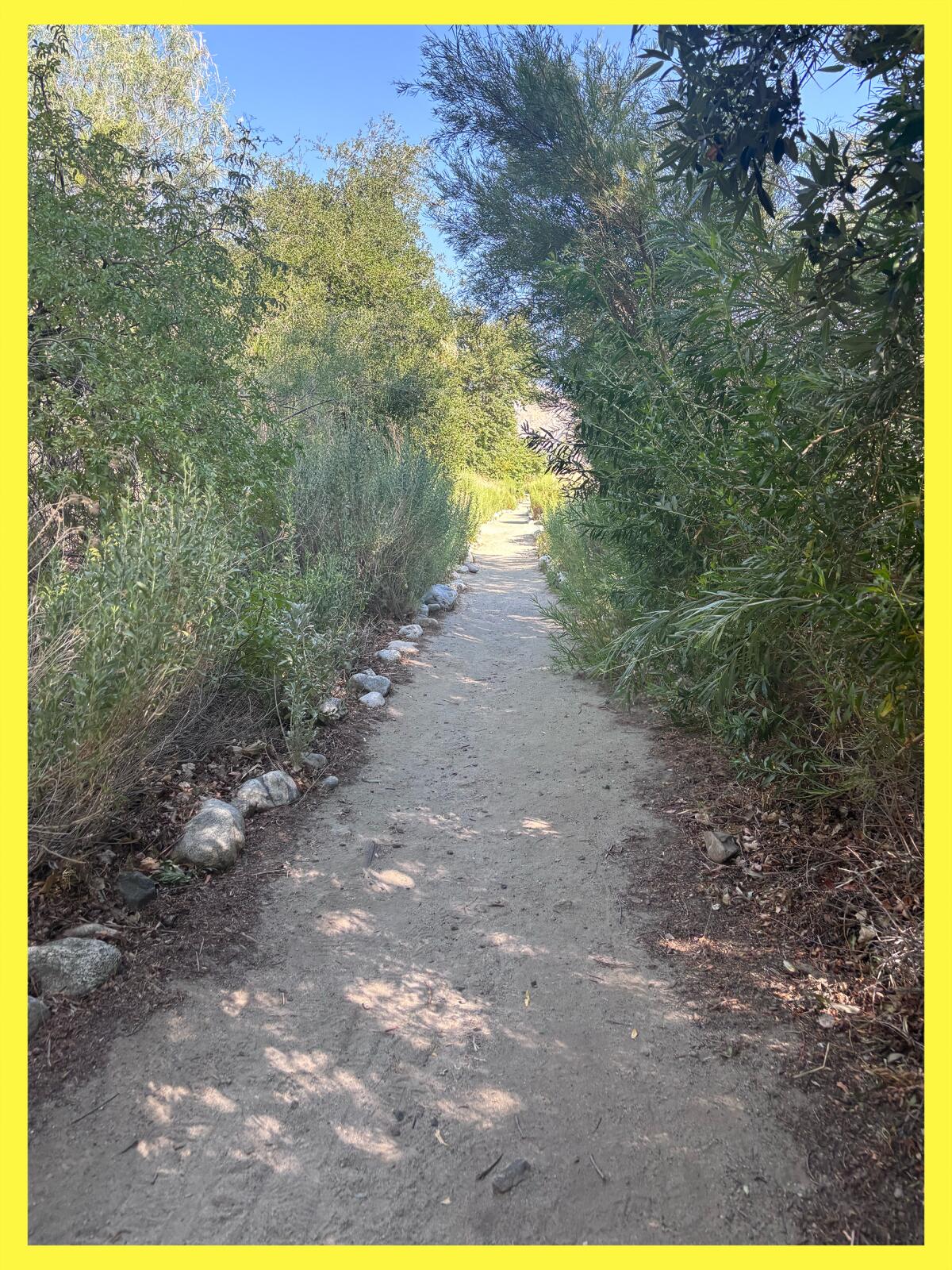
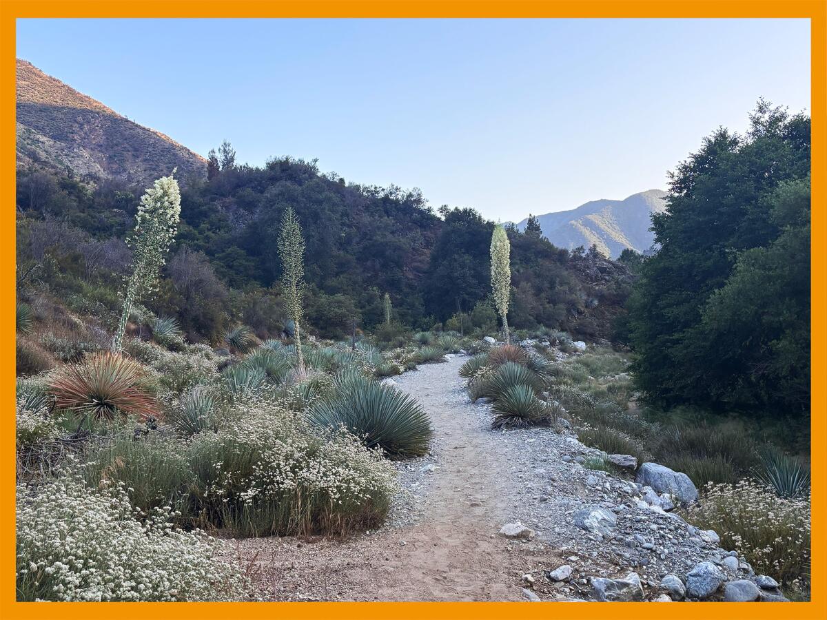
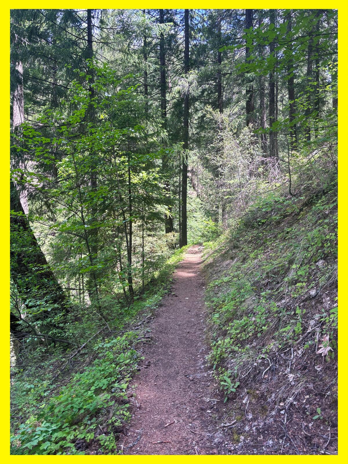
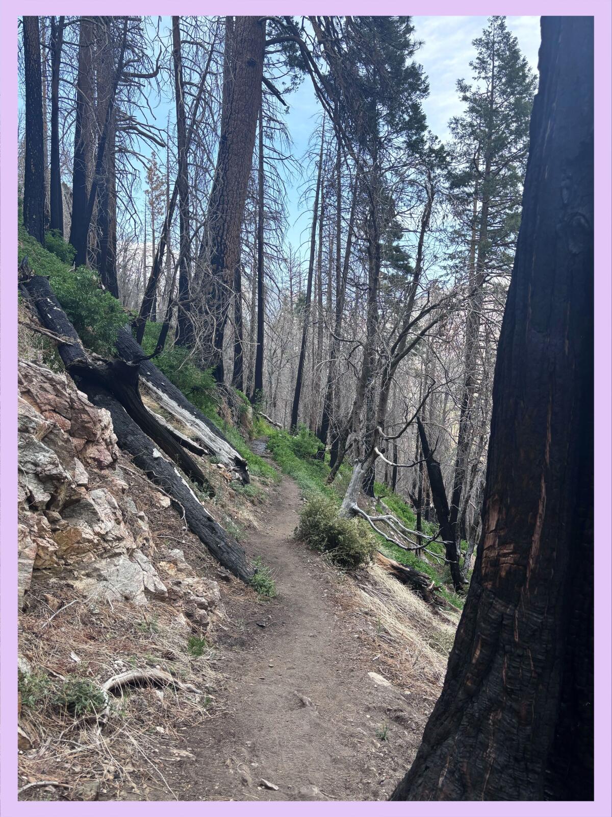
A lush path near the Whitewater Preserve visitor’s center.
(Jaclyn Cosgrove / Los Angeles Times)
For example, at the same time that thousands flocked to the Carrizo Plain, about three hours northwest of L.A., in 2017 to see wildflowers blanketing its landscape, President Trump ordered a review of 27 monuments, including the Carrizo Plain. Jackson writes about how the public outcry that followed — fed by people’s memories of that land and its beauty — saved it from losing its monument status.
“My initial fascination with exploring new landscapes had deepened into a commitment to protecting all that I’d experienced,” Jackson wrote. “If these precarious places go unseen and unspoken, who will notice when the subtle beauties of desert, sagebrush, grasslands and remote mountains slip away under the pressure to turn places into profits? In other words, how can we protect what we don’t know?”
That sounds like a great reason for your (and my) next road trip. In the meantime, if you’d like to hear me and Jackson talk about the lessons he learned in writing this book, join us at Vroman’s Bookstore in Pasadena at 7 p.m. Tuesday. I hope to see you there!

3 things to do
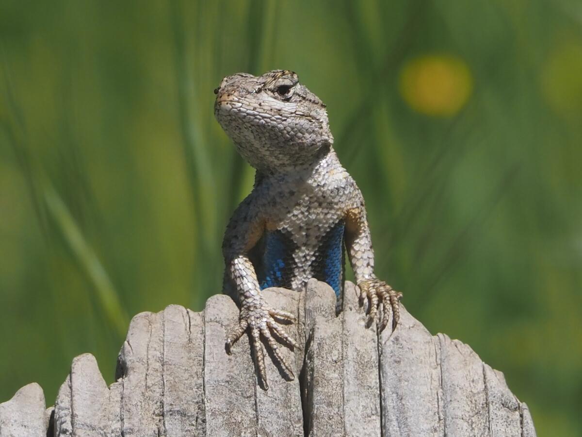
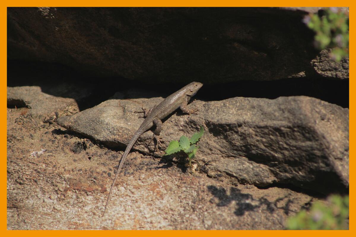
A western fence lizard — a.k.a. blue belly — presides over its domain from atop a stump.
(James Maughn)
1. Learn to draw reptiles in La Puente
L.A. County Department of Parks and Recreation will host a free nature-focused art class from 6 to 7 p.m. Saturday at San Gabriel River Park (255 S. San Fidel Ave. in La Puente). Students will observe what’s around them and draw, paint or used mixed-media techniques to create artwork. This month’s class focuses on reptiles. Artists of all skill levels ages 8 and older are welcome. Materials are provided. Learn more at the park’s Instagram page.
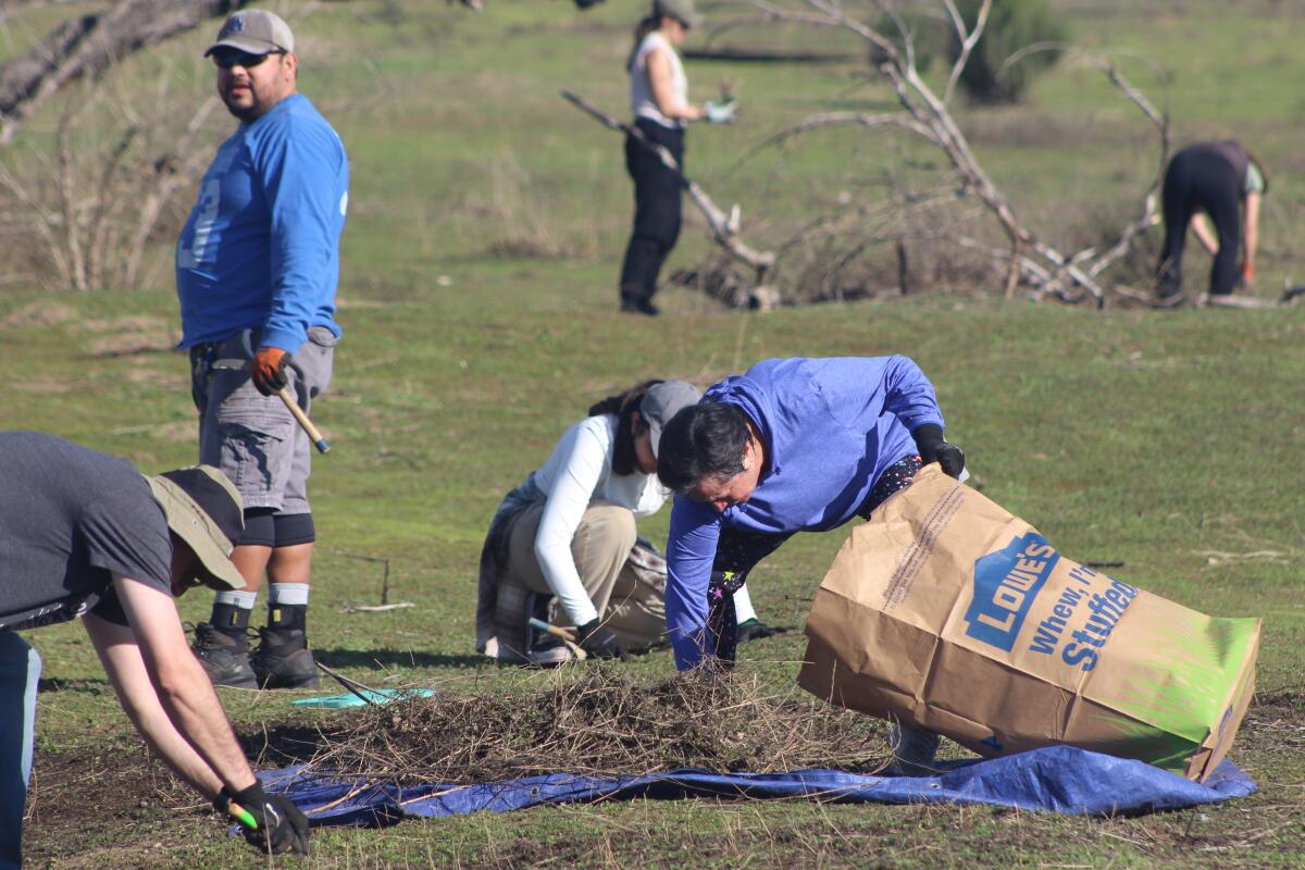
2. Clean up the cove in Rancho Palos Verdes
The Palos Verdes Peninsula Land Conservancy needs volunteers to plant native plants and remove weeds from 9:15 a.m. to 12:15 p.m. Saturday at Abalone Cove Park (5970 Palos Verdes Drive S in Rancho Palos Verdes). Participants should wear closed-toed shoes, long pants and long sleeves and bring sun protection and a refillable water bottle. Sign up at pvplc.volunteerhub.com.
3. Provide habitat for monarchs in Huntington Beach
Volunteers are needed from 9 to 11 a.m. Saturday in Huntington Beach to improve habitat at the Huntington Beach Monarch Nature Trail. Volunteers will yank out invasive plants, plant native species that provide food and shelter for butterflies, and collect seeds for future growth. All ages are welcome, and organizers will host nature-themed activities specifically for children. Register at eventbrite.com.

The must-read
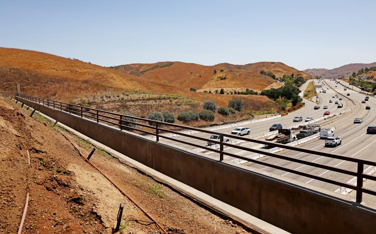
A view of the 101 Freeway and surrounding landscape from atop the Wallis Annenberg Wildlife Crossing in Agoura Hills, which is entering Stage 2 of construction.
(Christina House / Los Angeles Times)
It was one small step for reptile, one giant leap for the animal kingdom. Local animal rights leader Beth Pratt was showing a group around the Wallis Annenberg Wildlife Crossing when she spotted a Western fence lizard basking in the sun, about 75 feet above the traffic racing along the 101 Freeway. It seemed like just another lizard at first, given how common they are in L.A. “But then it hit me, ‘Wait. This lizard is on the bridge!!!!! And this is the first animal I have seen on the bridge!!!!’” Pratt, California regional executive director of the National Wildlife Federation, wrote in an email. “I stopped the group … and told them — ‘You are seeing the first animal on the crossing itself.’ Everyone cheered. Even the lizard seemed to know it was a special occasion. He posed for the photos I took.” Times staff writer Jeanette Marantos wrote about the moment in her latest story about the world’s largest wildlife crossing, which is entering Stage 2 of construction. Spoiler alert: We’re starting to see native plants grow on the bridge too!
Happy adventuring,

P.S.
Great news! The state of California will provide $6.75 million to continue financing the California State Library Parks Pass program, which allows library card holders to check out park passes that cover vehicle day-use entry to more than 200 participating state parks. Gov. Gavin Newsom’s proposed budget originally didn’t include money for the program, which launched in 2021 with an aim of lowering the cost of entry to our state public lands. More than 8,000 Californians signed a petition demanding the program be saved. In celebration of that success, head over to your favorite library, including L.A. Public Library and L.A. County Public Library branches, to see if they have a park pass waiting for you.
For more insider tips on Southern California’s beaches, trails and parks, check out past editions of The Wild. And to view this newsletter in your browser, click here.