I stayed at the cosy Cotswolds hotel right by ‘Britain’s greatest palace’

IF you fancy a stay in the Cotswolds, then there are few places as quaint as the Woodstock.
Here is everything you need to know about staying at The Feathers hotel.
Where is The Feathers hotel?
The stunning boutique hotel situated in the heart of the Oxfordshire village with more than a hint of Cotswolds charm.
Woodstock is also near Blenheim Palace, although its nearest train station is Hanborough Station which is around an hour to London.
What is the hotel like?
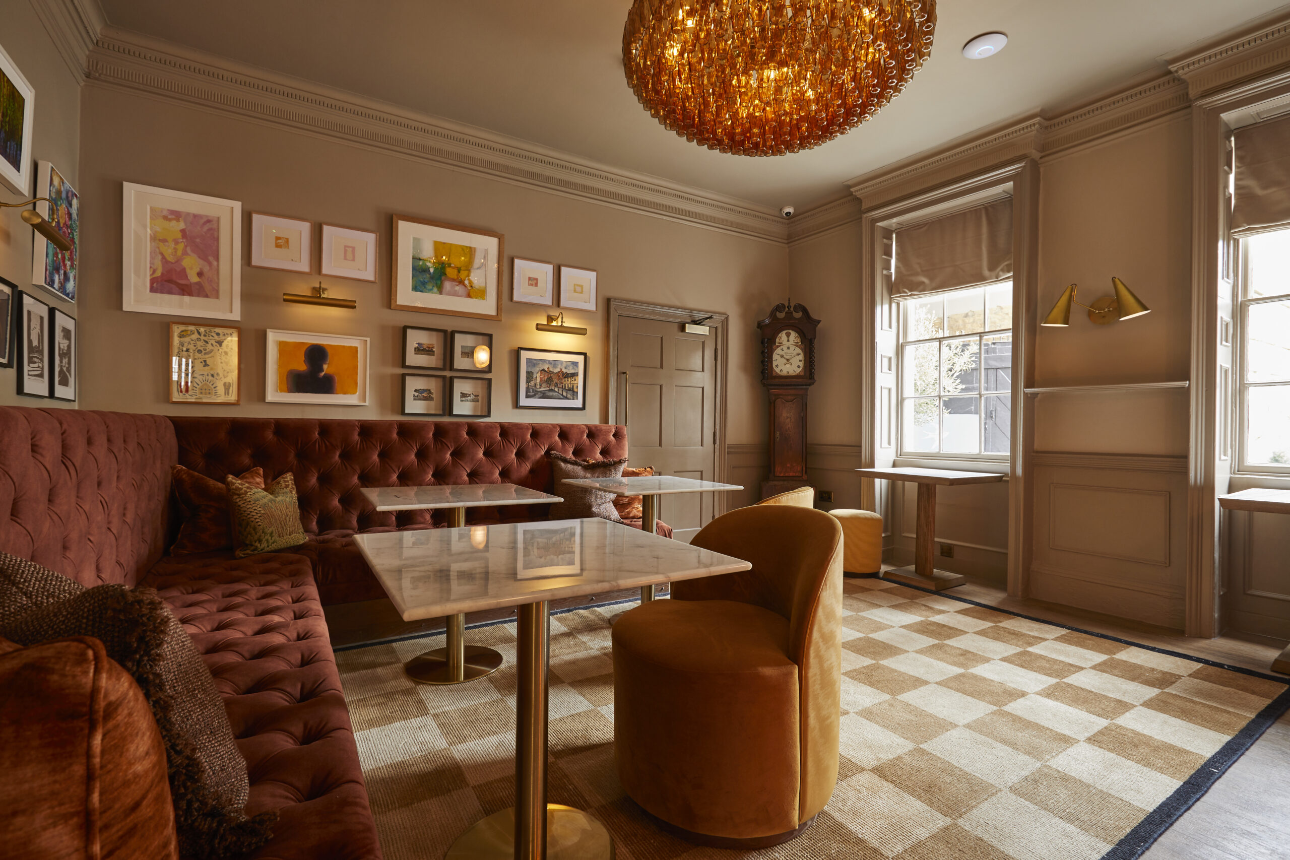
The hotel says it has both “modern comfort and historic charm” with a cozy lounge area by the bar.
Last year it underwent a huge six month refurbishment which saw an upgraded bar and terrace area.
Read more on hotel reviews


What are the rooms like?
The 18 rooms and five suites combine original features with extravagant modern touches to make for a luxurious stay.
Our dog-friendly Cotswold Room had exposed wooden beams complemented by sleek interior design, including air con and a massive TV.
The bed was enormous and beyond comfortable, while the marble-effect bathroom had a belter of a shower.
There was also a doggy welcome pack, which included treats, toys and a plush sleeping pad.
It was the most wonderful stay in an idyllic village setting. Relaxing, even with our nutter of a cockapoo.
Rooms start at £250 including breakfast. Dogs charged at £30 per stay. See feathers.co.uk.
What is there to eat and drink there?
If the sun’s out, head to the hotel’s cute courtyard at The Aviary and get that Aperol spritz ordered.
For dinner, move inside to The Nest for fine dining with a flourish. Every item was off the scale but the star of the show was the lamb main.
For the lamb dish alone I would walk from my home in South West London.
Make sure to return for lunch as they serve a beautiful afternoon tea.
What else is there to do?
Woodstock is perfect for a genteel traipse, and a visit to nearby Blenheim Palace is a no-brainer.
The signs boast this is “Britain’s Greatest Palace” – and the beauty of the undulating grounds coupled with the striking palace itself definitely put it in there with a good shout.
Is it family friendly?
Two of the suites have sofa beds at an additional cost, for families staying with kids.
Cots can also be rented for £10 a night.
Is the hotel accessible?
The hotel has an accessible room on the ground floor.