What happens in Gaza’s ‘Bermuda Triangle’ | Opinions
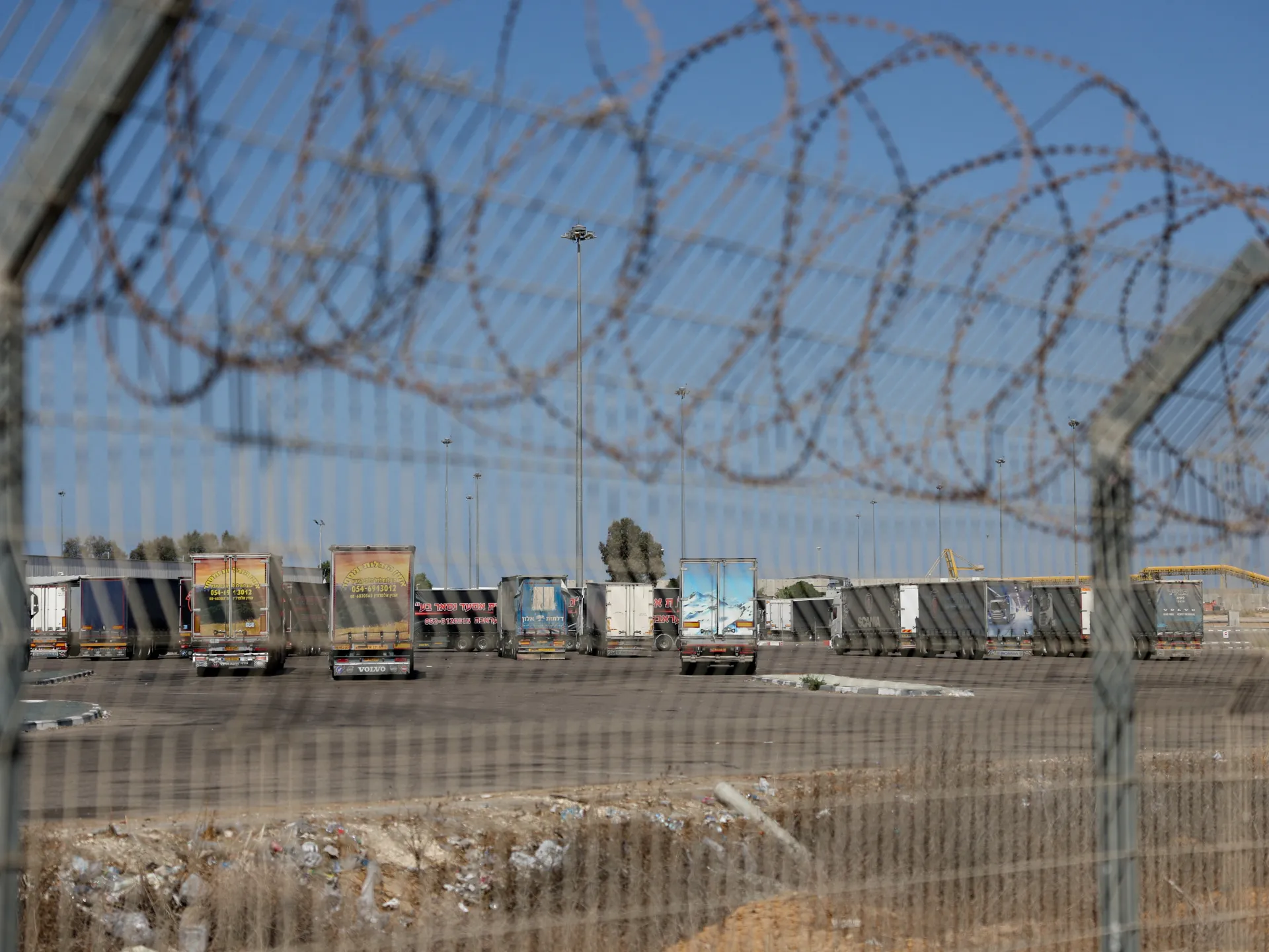
It has been more than a month and a half since a ceasefire was concluded in Gaza. As part of the deal, 600 trucks were supposed to cross daily into the Strip carrying food, medicine, tents, fuel and other basic necessities.
We have grown used to official statements talking about hundreds of trucks crossing the border every day. Photos are released, crossings are documented carefully, and announcements are made with celebration.
“4,200 trucks carrying humanitarian goods are entering Gaza weekly, since the start of the ceasefire. 70% of trucks that entered carried food … Over 16,600 trucks of food entered Gaza since the start of the ceasefire. Over 370,000 tons of food,” claims a November 26 update from the Israeli occupation authorities.
One would think the Palestinians in Gaza are the most well-fed people in the world.
To many of us, it is not clear how Israel counts the “trucks of food”, as there are indeed many commercial trucks allowed in that carry food of low nutritional value, like chocolate bars and biscuits, or food that is too expensive, like frozen chicken for $25 a kilo or a tray of eggs for $30.
Humanitarian organisations also seem to doubt the official count. According to the World Food Programme, only half of required food aid is entering Gaza. According to Palestinian relief agencies, only a quarter of necessary aid is actually allowed to go in.
And then only a fraction of that fraction actually reaches the displaced, the impoverished, the injured and the hungry. That is because much of the aid that does make it inside Gaza disappears into a “Bermuda triangle”.
The distance between the border and the displacement camps, where aid should be distributed, looks short on the map, but in reality, it is the longest distance politically and security-wise.
Yes, many trucks that go through never reach the families that need the supplies the most.
People hear about trucks, yet see no humanitarian packages. They hear about tonnes of flour, but they see no bread. They watch videos of trucks entering the Strip, but they never seen them come to their camps or neighbourhoods. It feels as if the aid enters Gaza only to vanish into thin air.
Recently, talk about the missing aid has grown louder in the streets, especially as basic food items have suddenly appeared in local markets while still carrying labels that say: “Humanitarian Aid Not for Sale”. I have seen cans of chicken meat with this label being sold for $15 apiece.
Even when aid parcels reach the needy, they are often lacking in promised items. For example, my family received a food parcel that was supposed to contain rice, lentils, and six bottles of cooking oil, but when we opened it, there was no rice or lentils, only three bottles of cooking oil.
This is not simply a matter of corruption. After two years of genocidal war, governance in Gaza has collapsed, its institutions systematically targeted by the Israeli army. There is no unified authority, and there is no force able to provide public order and security.
According to the UN mechanism for aid monitoring, from May 19 to November 29, 8035 aid trucks made it to their destinations inside Gaza; 7,127 were “intercepted” either “peacefully” or “forcefully”.
The Israeli army sets restrictions on the roads that trucks can take, often forcing them to take routes that are full of danger. Some roads cannot be used without coordination with powerful local families or neighbourhood committees, others are controlled by armed groups. All this makes a trip of a few dozen kilometres a very fragile process that is easy to disrupt. This is how aid disappears into Gaza’s “Bermuda triangle”.
International organisations are also unable to enforce security. They cannot accompany trucks because of the danger, cannot supervise unloading in real time, and do not have enough staff to track every shipment. Their dependence on local committees and volunteers means they rely on a system full of gaps that different parties quickly take advantage of.
Amid all this, one big question remains: Who truly benefits from the disappearance of aid?
There are the merchants looking for quick profit. There are the local armed groups seeking a source of cash. And there is, of course, the occupation and its allies who want to continue using hunger as a tool of political pressure. All of them are benefitting from the pain of ordinary Palestinians.
The problem here is that attention to what is happening in Gaza has diminished since the ceasefire. The global public feels reassured that the genocide is over, and it is no longer asking why aid is not reaching the Palestinian people.
Meanwhile, within policy and political circles, the disappearance of aid is being normalised, as if it were a natural outcome of conflict. But it is not; it is an engineered crisis meant as yet another kind of collective punishment for the Palestinian people.
As the world chooses yet again to turn a blind eye, it is not only trucks that are vanishing into Gaza’s “Bermuda triangle”, it is also the strength of Palestinians to keep going.
The views expressed in this article are the author’s own and do not necessarily reflect Al Jazeera’s editorial policy.