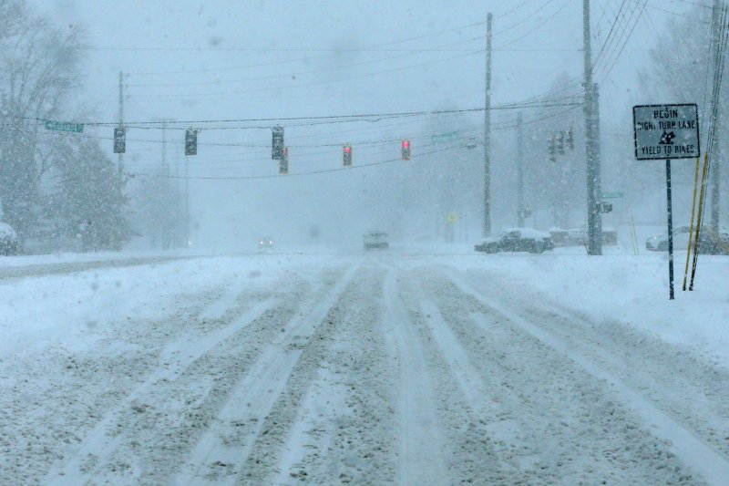
1 of 4 | A low pressure cell ahead of an advancing Arctic front will likely be responsible for a burst of heavy snow in the mid-Atlantic and the Northeast corridor on Sunday, followed by much colder temperatures, according to the NWS. File Photo by John Sommers II/UPI |
License PhotoJan. 17 (UPI) — Dangerously cold weather spread over the Midwest on Saturday and is headed toward the East Coast, where temperatures well below seasonal norms are expected starting late Sunday and into next week.
A sweeping Arctic frontal boundary blasted out of the Rocky Mountains and northern Plains and into the Midwest on Saturday, heading toward the Gulf Coast, bringing with it the coldest temperatures of the season to many parts of the Lower 48 states.
Forecast highs by Sunday range from below zero to the single digits in the northern Plains and Upper Midwest, the teens and 20s degrees across the central Plains and Midwest, the 20s and 30s for the southern Plains and Lower Mississippi Valley, and the 40s along the western and central Gulf Coast, the National Weather Service said.
Temperatures behind the front were up to 40 degrees colder than Friday, producing dangerously cold wind chills in the -30 to -55 degree range in the Upper Midwest. Temperatures that low can quickly bring on hypothermia and frostbite unless safety precautions are taken.
Extreme cold warnings were posted through noon Tuesday in Minnesota and North Dakota, where forecasters said wind chills as low as 43 below zero are expected. In Hibbing, Minn., on Minnesota’s Iron Range, an air temperature low of -29 degrees was forecast for Monday night.
The Arctic air mass triggered extreme cold watches across much of Indiana, Ohio and western Pennsylvania on Saturday, where forecasters warned of an “extended period of very cold temperatures” with dangerously cold wind chills as low as -25 possible.
Due to anticipated low temperatures, the city of Cleveland and Cuyahoga County on Friday opened warming centers across the city, while in Pittsburgh, residents prepared for some of the coldest air in almost a decade. With a forecasted low on Wednesday of -8, air temperatures in in the city could reach their lowest level since Feb. 24, 2015, when it was -9, KDKA-TV reported.
Further south, most of eastern Texas and southern Louisiana, including the Dallas-Fort Worth metroplex and New Orleans, were also under cold weather advisories as “bitterly cold” air was expected by Sunday. The National Weather Service in Dallas said wind chills in the as low as the single digits above zero were in store for the region.
“The Arctic air is here!,” Texas forecasters said Saturday. “Wind chills will plummet tonight, dipping into the single digits to lower teens for all of North and Central Texas. Make sure to check on neighbors & family, dress in warm layers, bring pets indoors and protect outdoor/exposed pipes.”
Up to 3 inches of snow were possible across Central Texas on Monday night.
Even the Deep South and Florida will be affected by the Arctic outbreak. Portions of south central and southwest Alabama, northwest Florida and southeast Mississippi were placed under an extreme cold watch from Sunday night through Monday, with dangerously cold wind chills as low as 8 above possible.
Meanwhile, the mid-Atlantic United States and the Northeast corridor will get socked with heavy snowfall in advance of the Arctic cold front on Sunday before likewise being plunged into the deep freeze, according to the NWS.
The low pressure cell in advance of the front will produce an “enhanced swath of snow” beginning early Sunday morning across the Appalachians and continuing into the day Sunday from the northern Mid-Atlantic to New England, forecasters said.
The heaviest snow, ranging from 5 inches to more than 8 inches, is likely just to the north and west of the Interstate 95 corridor as a winter storm warning was posted for Washington D.C., Baltimore, parts of Virginia and West Virginia. Up to 6 inches of snow with locally higher amounts are expected from northern Maryland through Boston.
The snow will be followed by extreme cold with dangerous wind chills of as low as -24 degrees in much of the region.
The expected Arctic blast prompted President-elect Donald Trump to move his inauguration ceremonies indoors into the U.S. Capitol Rotunda on Monday. Trump’s second inauguration day will see temperatures in the upper teens and lower 20s in the nation’s capital — the lowest inauguration temperatures since 1985.
