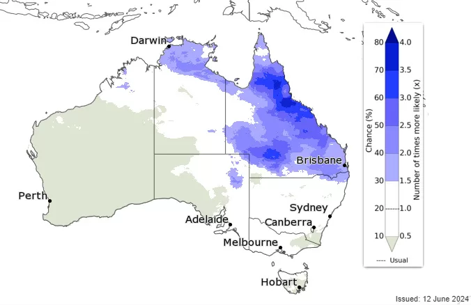
- In short: Widespread frosts have impacted southern Queensland during the state’s first proper cold snap this winter.
- Westerly winds are expected to keep frosts at bay over the weekend, but another cold snap is expected to return early next week.
- What’s next? A change could come as clouds increase by the end of next week, with a slight chance of rain in the south.
Chris McFerran has been waiting patiently to see a white blanket of frost from his Warwick home, and it finally arrived this week.
“Historically — as long as I can remember — you could guarantee you’d see the first frost around Anzac Day,” the Warwick-based weather photographer explained.
“That was the case for the past 30 or 40 years, including last year. This year it’s been very late.
“But Jack Frost is back.”
Much of the sunshine state’s south shivered through single-digit temperatures on Friday, with Oakey taking out the coldest town award dipping to -2.9 degrees Celsius.
While the forecast for the weekend is for fewer below-zero temperatures, it is still expected to remain cold.
Mr McFerran said Queenslanders should embrace the sudden cool change.
“Everybody thinks Queensland is always warm, and that means there’s a lot of surprised people every year,” he laughed.
But he said there was a bright side to the frozen mornings.
“If you get a fog and a frost it generally means the day is going to turn out to be beautiful,” he said.
“Just dress as if you’re going out into the snow — so have a beanie, plenty of layers, and gloves.”
Cold and clear
Bureau of Meteorology (BOM) forecaster Felim Hanniffy said a slow-moving high pressure system will extend a ridge across Queensland over the next several days.
“We’re not out of this cold spell just yet, and we may see a run of even colder mornings through the early part of next week,” he said.
An increase in westerly winds could keep frosts at bay for a couple of days in some areas, but as the winds drop early next week another round of frosts is likely, extending from the south all the way to the central part of the state.
The BOM has forecast below-zero temperatures on Tuesday morning, from -3 degrees in Stanthorpe in the south to zero in Charleville in the west.
Mr Hanniffy said while the BOM expects a “pretty settled” forecast over the next few days, cloud may increase across the far south from Wednesday with the slight chance of isolated showers in the south from Thursday.
Get our local newsletter, delivered free each Wednesday
