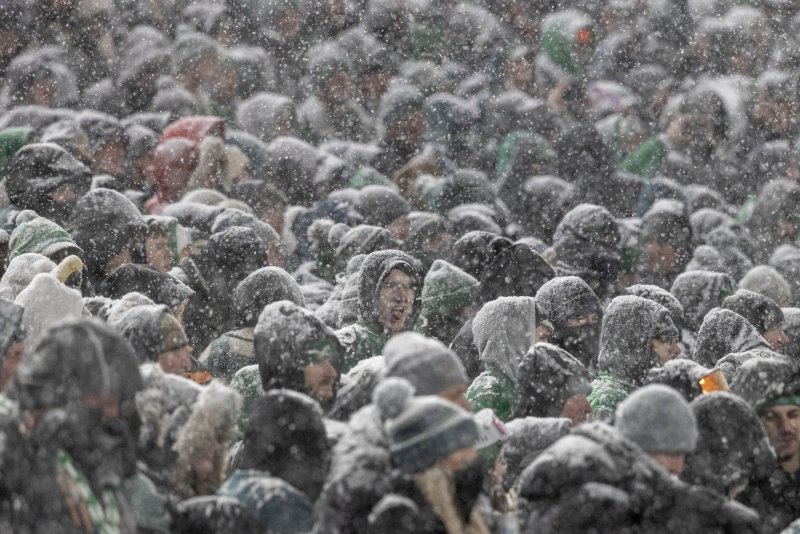
Jan. 19 (UPI) — A deep and powerful trough of cold air will drop south from Canada this week, sending temperatures plummeting from the western United States to the eastern seaboard and as far south as the Florida panhandle, where forecasters predict an unusual ice storm.
At 2:30 p.m. EST Sunday, the National Weather Service issued a rare winter storm watch for the region between Tuesday evening and Wednesday morning. Forecasters are calling for a wintery mix of freezing rain, sleet and snow.
“Total snow accumulations up to one inch and ice accumulations around one tenth to a quarter of an inch possible,” forecasters said in the alert. “The weight of the ice on tree limbs may down power lines and cause power outages. Plan on slippery road conditions. The hazardous conditions could impact the Wednesday morning commute.”
The same storm will dump snow across the Northeast on Sunday night into Monday, potentially snarling the morning commute. Forecasters say ice and snow could also impact flights at airports across New England. They said a surge in flight cancellation is likely at major airline hubs in the Northeast.
“This will likely end up being the first general snowstorm for portions along and north of the Interstate 95 corridor for the mid-Atlantic and New England, as storms this winter have not hit all of the areas with significant snow all at once,” AccuWeather Senior Meteorologist Tom Kines said. “Portions of eastern New England have received hardly any snow at all so far this winter.”
Forecasters said the I-95 corridor from Boston to Washington, D.C., could receive between 3 and 6 inches of snow, with portions of West Virginia, central Pennsylvania and southern Maine picking up more than 6 inches. It’s the first major snowfall of the season for the heavily traveled section of the I-95.
“We are very confident that snowfall amounts will tend to ramp up from southwest to northeast in the region with the greatest amounts likely in New England,” AccuWeather Chief On-Air Meteorologist Bernie Rayno said.
The mountains of New England, parts of the Poconos in northeastern Pennsylvania and the Catskills in southeastern New York could also see up to a foot of snow.
