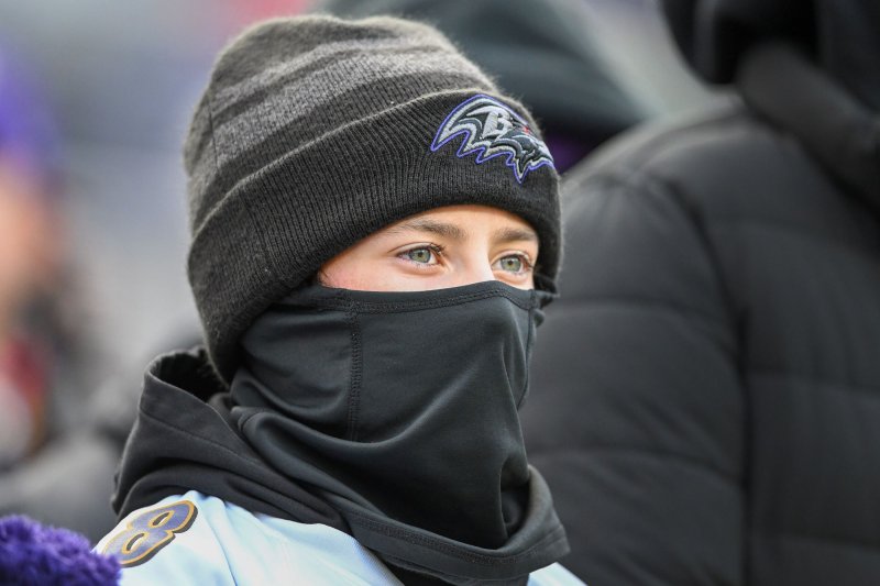
1 of 4 | Temperatures will plunge by as much as 40 degrees across much of the United States over the weekend as an Arctic airmass sweeps south and east. File Photo by David Tulis/UPI |
License PhotoJan. 17 (UPI) — Dangerously cold weather will put much of the United States into a deep freeze over the weekend as temperatures are expected to plunge by up to 40 degrees behind an Arctic airmass.
A sweeping Arctic frontal boundary will blast out of the Rocky Mountains and northern Plains and into the Midwest late Friday into early Saturday, bringing with it the coldest temperatures of the season to some parts of the country.
Temperatures behind the front will be up to 40 degrees colder, producing negative single-digits highs in northern Plains a single-digit highs in the Midwest, along with dangerously cold wind chills in the -30 to -55 degrees Fahrenheit range, according to the National Weather Service.
Temperatures that low can quickly bring on hypothermia and frostbite unless safety precautions are taken.
Cold weather advisories were posted on Friday in all or parts of Montana, Wyoming, Colorado, North Dakota, South Dakota, Minnesota, Iowa, Wisconsin, Nebraska and Michigan.
Extreme cold warnings were posted through noon Tuesday in Minnesota and North Dakota, where forecasters said wind chills as low as 43 below zero are expected. In Hibbing, Minn., on Minnesota’s Iron Range, an air temperature low of -29 degrees was forecast for Monday night.
By Saturday night, the southern Plains and northern Texas will also get socked with temperatures well below normal as lows in the 20s and teens and windchills below zero invade the region over the weekend.
The Arctic front will likely be responsible for a burst of moderate to heavy snow In the mid-Atlantic and the Northeast corridor later in the weekend, followed by much colder temperatures, according to the NWS.
The metropolitan corridor from Washington, D.C., to Boston could see 3-6 inches of snow, with areas west of the Interstate 95 corridor in line for amounts of between 5 and 10 inches. Then it’s into the deep freeze as highs struggle to reach 15-25 degrees below normal for mid-January.
