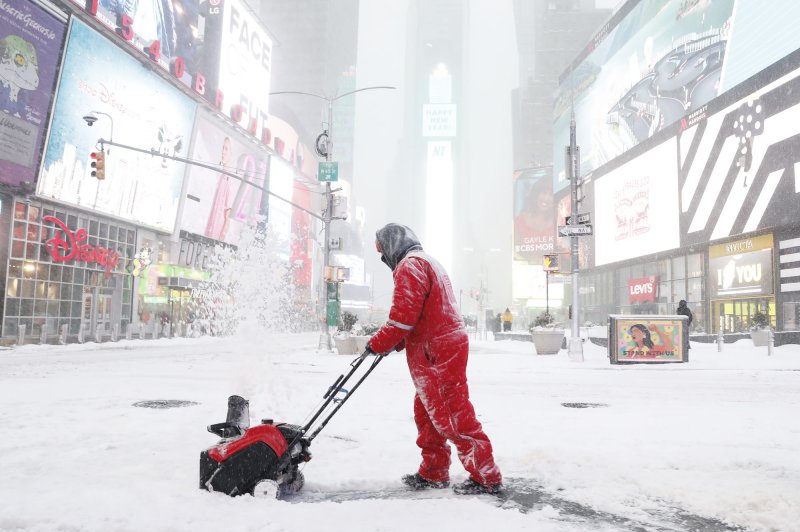
1 of 3 | New York faces a potential 3 feet of lake-effect snow over the course of the coming days, according to Gov. Kathy Hochul, as a polar vortex takes aim at much of the eastern United States. File Photo by John Angelillo/UPI |
License PhotoJan. 1 (UPI) — The first few days of the new year are expected to bring heavy snow and frigid temperatures in the form of a polar vortex to the eastern United States.
The rain that pummeled the northeast on New Year’s Eve is a beginning of things to come, meteorologists say. New York faces a potential 3 feet of lake-effect snow over the course of the coming days, according to a statement from Gov. Kathy Hochul.
“As we ring in the New Year, I urge New Yorkers to remain alert and monitor their local forecasts with heavy rain and snow expected to impact areas across the State,” Hochul said.
Wind gusts may reach 45 mph, hampering visibility and creating hazardous travel conditions. Weather alerts across the northeast will remain in effect through the late afternoon on Sunday.
Meanwhile, temperatures have begun to fall and will continue to do so with a low of 26 degrees in the Syracuse, N.Y., area on Thursday giving way to a low of 20 on Friday and as low as 13 degrees by Sunday.
The Midwest and northern Great Plains are feeling the front end of the colder temperatures ushering in 2025 on Wednesday and Thursday. The chill will continue to move its way east in the following days before the polar vortex brings temperatures down even further beginning next week.
The East Coast should expect a second round of winter storms between Monday and Jan. 14.
January’s temperatures in the eastern United States are expected to be below average with the potential for record-setting low temperatures in the southern and southeastern United States.
The National Oceanic and Atmospheric Administration’s models show that if the polar vortex reaches its full potential, temperatures may hit 25 to 35 degrees below average in mid-January.
