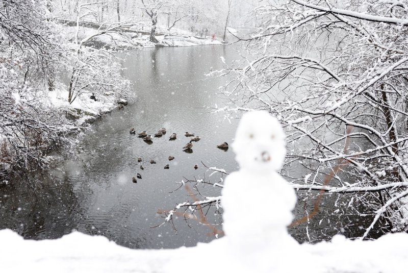
A small snowman sits on a bridge in Central Park as snow falls in New York City on Feb. 13, and snow storms might return to the area during the Christmas and New Year’s holidays. File Photo by John Angelillo/UPI |
License PhotoDec. 21 (UPI) — Those experiencing the winter doldrums can count on seeing more sunlight after the winter solstice arrived at 2:21 a.m. EST Saturday.
The winter solstice marks the first official day of winter when all locations south of the equator have more than 12 hours of sunlight while all locations north of the equator have less than 12 hours of daylight.
“Happy winter solstice!” the National Weather Service Prediction Center posted on X. “Today marks the first day of astrological winter in the Northern Hemisphere.”
The National Oceanic and Atmospheric Administration’s Climate Prediction Center in November predicted a weak La Nina event that generally causes warmer-than-normal weather in the South and Northeast, variable weather in the nation’s middle sections and upper Midwest, and colder-than-normal temperatures in the Midwest and Northwest U.S
La Nina refers to the periodic cooling of surface water temperatures in the central and east-central equatorial Pacific Ocean and occurs about every three to five years, according to the National Weather Service.
The winter weather outlook for the holidays calls for strong storms along the West Coast through Christmas Day and precipitation in the Central and Eastern United States.
“A series of potent storms is expected to hammer the West Coast through Christmas Day while precipitation in the Central and Eastern states will also contribute to travel woes,” AccuWeather senior meteorologist Alex Sosnowski said.
“Whether by car or plane, travelers should brace for delays and hazardous conditions on their way to holiday celebrations,” Sosnowski added.
The winter weather could cause travel problems with icy and snowy road surfaces in the Northeast and flooding and avalanche dangers along the West Coast.
The weather from northern California through Washington State could produce up to one storm every day and trigger flash flooding, road washouts and mudslides at lower elevations and heavy snow that affects road travel in higher elevations.
The northern Great Plains could experience localized snow showers as a storm system pushes through the area over the weekend and reaches the Mississippi Valley early in the week.
The storm system likely will cause “widespread and significant” precipitation, Sosnowski said.
Rain, fog and localized thunderstorms will move eastward over the central Gulf Coast, the Tennessee River Valley and southern Appalachians into Monday night and Christmas Eve.
The storm system likely will bring rainfall and thunderstorms to the southern Atlantic Coast states by Christmas.
More than 119 million people are expected to travel more than 50 miles to reach holiday destinations for Christmas and New Year’s, the AAA auto club reported.
“With Christmas Day falling on a Wednesday, we’re anticipating record-breaking travel numbers the weekend before and the weekend after the holiday,” AAA Travel Vice President Stacey Barber said.
The number of holiday travelers predicted would beat the travel record set in 2019 by 64,000 travelers, according to AAA.
