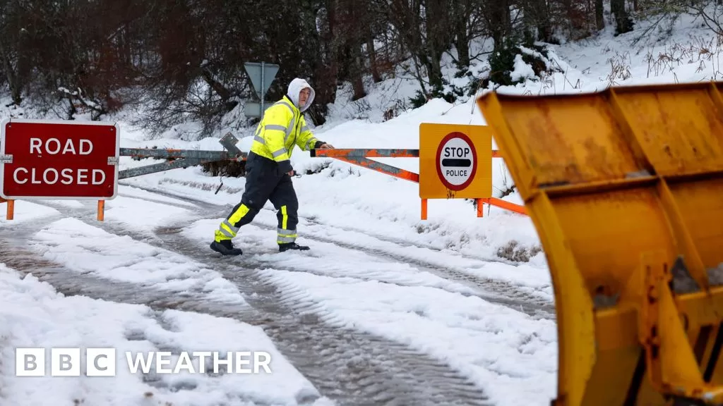
Monday will bring heavy rain which is likely to turn to snow as the weather system responsible moves north-eastwards and hits colder air.
The Met Office have issued a yellow warning valid from Monday evening until Tuesday morning, covering southern Scotland, northern England, north Wales and the north Midlands.
Up to 15-20cm is possible on the high ground of the south Pennines but even at lower levels there could be 2-10cm of settling snow. There’ll also be icy stretches.
Travel disruption is possible, particularly on the higher trans-Pennine routes by Tuesday morning.
Forecasting snow at lower levels is always tricky, especially in mid-November with the ground still relatively warm compared to mid-winter.
But, there will be some towns and cities seeing sleet and settling snow in heavier precipitation.
During Tuesday morning, there will be a spell of sleet and snow moving south-eastward through the Midlands into eastern England.
Snow showers will continue to fall in northern Scotland on Monday and Tuesday.
