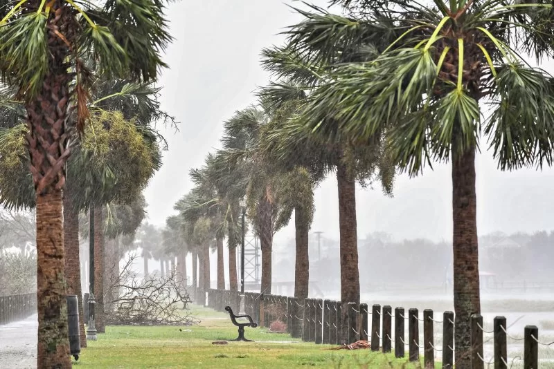
In the wake of two massive storms sweeping large parts of the United States, storm center forecasters on Monday said they are watching another potential tropical disturbance in the central Atlantic. File Photo by Richard Ellis/UPI |
License Photo
Oct. 14 (UPI) — While Floridians continue cleaning up after last week’s deadly Category 3 Hurricane Milton and as U.S. residents in the southeast do the same after last month’s Category 4 flood-maker Hurricane Helene that is blamed for hundreds of deaths, storm center forecasters are watching another potential tropical disturbance in the central Atlantic.
In a Monday afternoon advisory, forecasters at the National Hurricane Center in Miami said they are watching “a well-defined area of low pressure” situated between the Cabo Verde Islands and the Lesser Antilles. Forecasters said the low-pressure system already is producing some rain and thunderstorms.
If there is good news in Monday’s NHC announcement it is that dry air continues to be part of the region’s environment, so any development is unlikely for a few days.
“However, this system is forecast to move generally westward toward warmer waters, and environmental conditions could become more favorable for gradual development by the middle to latter part of this week,” NHC forecasters said in the advisory. “A tropical depression could form as the system begins moving west-northwestward and approaches or moves near the Leeward Islands late this week.”
The NHC said any named storm formation has only a 10 percent chance of forming in the next several days. But after about a week, tropical storm formation chances rise to 60 percent, forecasters say.