
Sept. 20 (UPI) — The federal government on Friday awarded $1.1 million to the National Oceanic and Atmospheric Administration to conduct satellite monitoring of potentially destructive floods and ice-jam events in Alaska.
The project is expected to begin early next year and provide NOAA with high-resolution data from privately managed satellites “to fill observation gaps during Alaska’s flood and ice-jam events,” the agency said in a statement.
Officials expect the satellite data provided by the program also will be used by forecasters in flood and other prediction models.
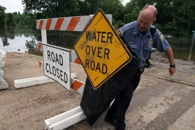
Last month, an “unprecedented” glacial lake outburst flood caused a torrent of water in Juneau, damaging more than 100 homes and leading Alaska Gov. Mike Dunleavy to declare a state of emergency.
The same basin flooded almost exactly one year earlier.
More than 35 communities along the western Alaska coastline were damaged to varying degrees after Typhoon Merbok came ashore in 2022.
The money is part of a larger $2.27 million project on Alaska flood monitoring, and comes from the Inflation Reduction Act, passed in 2022 as one of President Joe Biden‘s major achievements.
The legislation sets aside billions of dollars earmarked for fighting climate change and enhancing healthcare.
“The Biden-Harris administration will be investing in the data infrastructure needed to help communities in Alaska prepare for severe flooding,” U.S. Secretary of Commerce Gina Raimondo said in the department’s statement.
“This funding opportunity, made possible thanks to the Inflation Reduction Act, will help forecasters better track developing flood conditions, keep residents safe and mitigate the economic impacts caused by these climate disasters.”
Monitoring floods in Alaska is more challenging than in most other states, according to NOAA.
Dense forest cover, limited road access, variable river-water levels and flows, along with unique flooding conditions such as glacier-dammed lake floods make it exceptionally difficult to monitor.
Friday’s investment aims to make it easier for scientists to monitor and prepare against future flooding.
“Our ability to prepare the public for destructive floods that threaten communities, homes, resources and critical infrastructure will benefit from this investment,” NOAA National Weather Service Alaska Region Director Scott Lindsey said in the statement.
“Satellites play an increasingly important role for NOAA in identifying conditions that could lead to flooding in Alaska, detecting where floods are occurring and improving the forecast accuracy of their magnitude, extent, timing and potential impacts.”