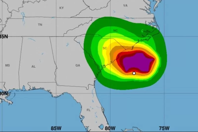
1 of 4 | Tropical Storm 8 is set to make landfall along the southeast coast and move inland Monday. Photo courtesy of National Hurricane Center.
Sept. 16 (UPI) — Gordon, which became a named storm Friday, was downgraded to a tropical depression Sunday in the Atlantic with no land threatened as Potential Tropical Storm 8 developed off the Carolinas.
The potential tropical storm is projected to make landfall Monday, possibly as a tropical cyclone as it is expected to strengthen overnight, the National Hurricane Center said.
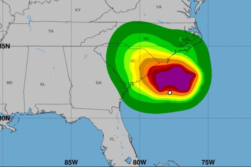
A tropical storm warning was issued from Edisto Beach, S.C., up to Ocracoke Inlet near the southernmost extreme of North Carolina’s Outer Banks. There is a threat of heavy rain and coastal flooding in the Carolinas.
“Rainfall amounts of 3 to 6 inches [plus isolated higher amounts] are possible, which could result in flash flooding,” Brunswick County, N.C. said in a statement.
An advisory at 11 p.m. EDT Sunday said the area of bad weather was about 125 miles southeast of Charleston, S.C.. and 180 miles south-southwest of Cape Lookout, N.C. It has maximum sustained winds of 45 mph and was moving to the northwest toward the coast at 5 mph, the NHS said.
The storm also poses the risk of urban and flash flooding along with river flooding, and higher surf conditions off the coast.
Accuweather.com predicted the storm can cause localized power outages, tree damage and minor damage to structures.
Tropical Depression Gordon had maximum sustained winds of 30 mph, according to NHC’s 11 p.m. AST update. Gordon was located about 1,070 miles east of the Northern Leeward Islands. It was moving west at 7 mph and there are no coastal warnings. The storm is not a threat to land.
A storm is classified as a depression with sustained winds of 38 mph or less
NHC said tropical storm-force winds were extending up to 80 miles from its center.
A westward to west-southwestward motion is forecast over the next few days with Gordon forecast to “slow down considerably through the middle of the week,” according to the NHC.
Gordon is the seventh named storm in the Atlantic.
Hurricanes were Beryl, Debby, Ernesto and Francine. Tropical storms were Alberto and Cindy.

