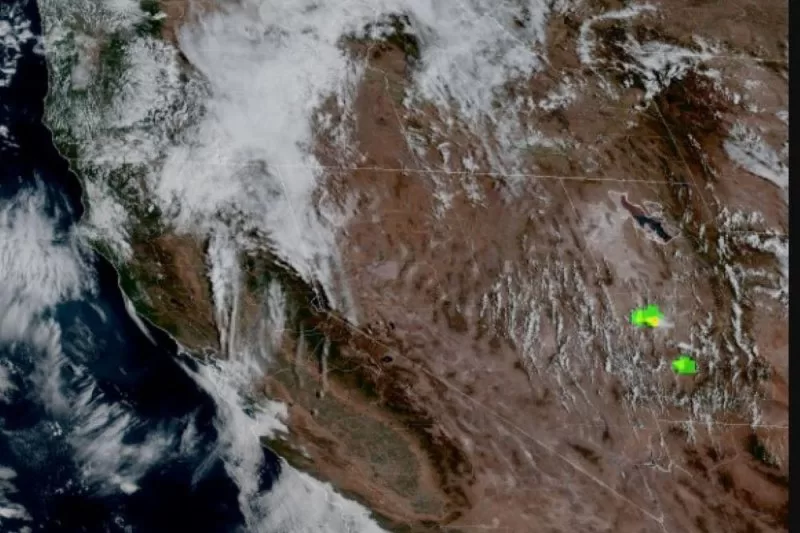
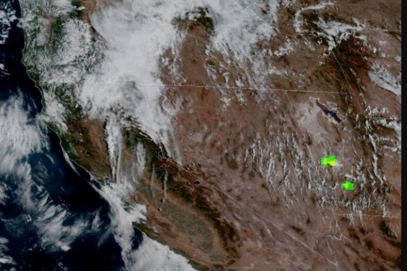
An early winter storm is predicted to dump several inches of snow on California’s Sierra Madre Sunday night into Monday. Photo courtesy of the National Weather Service.
Sept. 15 (UPI) — California residents are bracing for an early winter storm that is predicted to dust the Sierra Madre with snow, the National Weather Service’s earliest advisory in 20 years.
The storm is expected to drop a few inches of snow Sunday night into Monday at elevations above 8,000 feet, a small amount compared with what winter storms typically bring, but significant this early in the season. It could even go as low at 7,500 feet, according to the NWS.
“It’s more of a fall- or even winter-like storm,” said Carlos Molina, a meteorologist with the weather service’s Hanford, Calif., office. “It’s dropping down from the Gulf of Alaska. It’s going to bring in quite a bit of cold air from the north. This storm has a lot of cold air and not as much moisture.”
The low-pressure system that’s bringing the storm will travel along the coast of the Pacific Northwest and northern California before making a turn and heading into the central part of the state.
The area between Yosemite and Sequoia and Kings Canyon National Parks is likely to see the strongest impacts of the storm, Molina said, and the NWS issued a Winter Weather Advisory in effect until 5 p.m. Monday.
It’s only the fifth predicted September snowfall on record in Grant Grove, Calif., which is just west of Kings Canyon National Park. It is around 7,000 feet in elevation. The last time this area had snow in September was in 1986.
“Prepare for winter weather conditions,” the weather service said. “There is a 45% chance of 3 inches or more of snow at Tuolumne Meadows with temperatures falling below freezing. Tioga Pass can see impacts as they have a 55% probability of 3 inches or more of snow.”
The Central Sierra and Yosemite National Park could also see a thunderstorm, the NWS said.
Once the snow moves out, cold air will remain behind. High temperatures Tuesday will remain on the frigid side, forecasters predict.
“The High Sierra may see temperatures in the low 20s by Tuesday morning,” Molina said. “You’re going to see subfreezing temperatures across the high country, so those individuals up there need to be prepared for those cold conditions.”
The low-pressure system driving the storm will move into the Intermountain West and Rockies later in the week, dumping as much as 2 to 4 inches of rain on parts of Idaho, Oregon, Nevada and northern California, though forecasters predict an inch is much more likely in most areas.
Snow also is in the forecast in two high-elevation areas in Colorado: Long Peaks and Pikes Peak.
Mountain-Forecast.com‘s extended forecast shows Longs Peak could get about a foot on the weekend of Sept. 21 and 22. Longs Peak is in the northern Front Range of the Rocky Mountains.
Pikes Peak, which is in the southern Front Range, could see about 5 inches next weekend.

