But, nearly nine months into Israel’s war on Gaza, abundant harvests have given way to devastation and a dire humanitarian crisis.
A UN report says 96 percent of Gaza’s population is food insecure and one in five Palestinians, or about 495,000 people, is facing starvation.
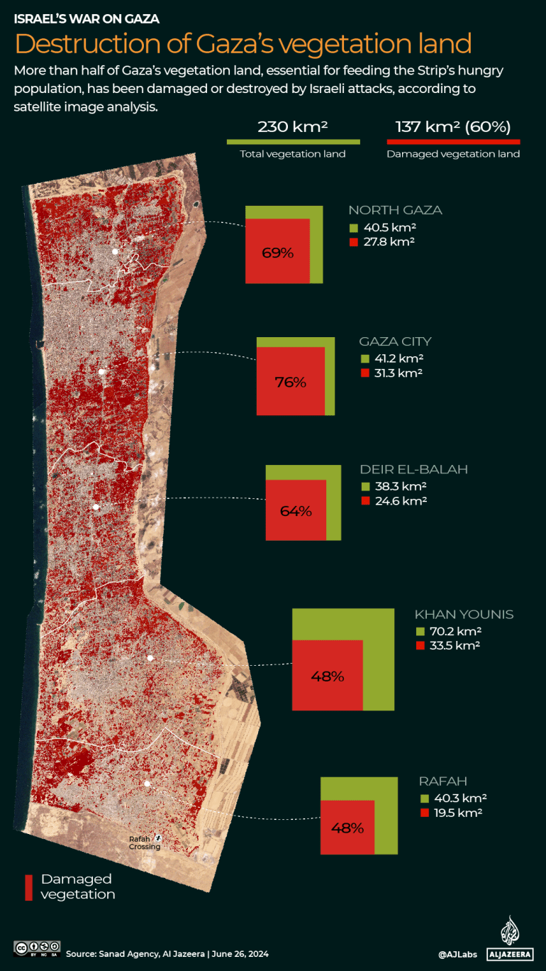
Satellite images analysed by Al Jazeera’s digital investigation team, Sanad show that more than half (60 percent) of Gaza’s farmland, crucial for feeding the war-ravaged territory’s hungry population, has been damaged or destroyed by Israeli attacks.
Israel has killed at least 37,900 people and injured 87,000 others in bombings, by destroying healthcare that could have saved them, and by starvation.
North to south, nowhere and nobody has been spared.
North Gaza
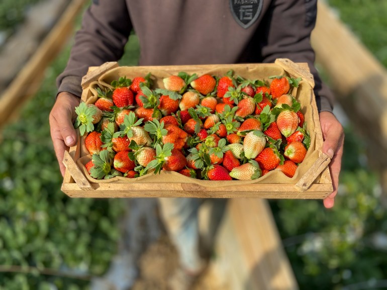
In Beit Lahiya, once known for plump, juicy strawberries that locals fondly called “red gold”, Israeli bulldozers and heavy machinery have systematically razed fields, reducing them to dirt.
Before the war, Gaza’s strawberry industry employed thousands of people. Seeding and planting began in September, with harvesting from December through March.
Before and after satellite images show vehicle tracks over the once-fertile regions of Beit Lahiya.
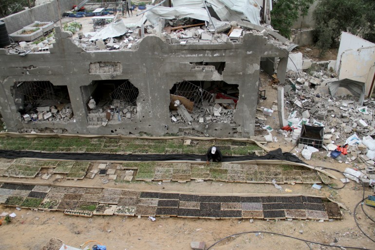
Defying Israel’s ongoing attacks, farmers like Youssef Abu Rabieh figured out ways to grow food between bombed-out buildings – makeshift gardens of repurposed containers.
Gaza City
Thriving garden patches and back-yard fruit trees once dotted Gaza City, home to about a third (750,000) of Gaza’s 2.3 million population before the war.
South of Gaza City is Zeitoun, a neighbourhood named after the Arabic word for olive. Before and after satellite images show southern Zeitoun where nearly every last bit of greenery has been wiped out.
The olive tree is deeply beloved in Palestine, symbolic of Palestinian resilience against Israeli occupation.
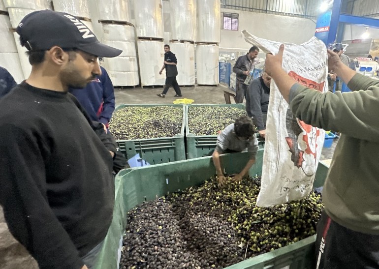
During one short pause in fighting from November 22 to December 1, Palestinian farmers ran to harvest their olives and extract oil, because they do not know any other way to live, and because they needed the harvest.
Olive cultivation is crucial in the Palestinian economy and is used for everything from oil to table olives to soap.
Deir el-Balah
Its very name meaning “House of Dates”, the central governorate of Deir el-Balah is one of Gaza’s largest agricultural producers, known for its oranges, olives and – of course – dates.
The date harvest typically begins in late September and continues through the end of October.
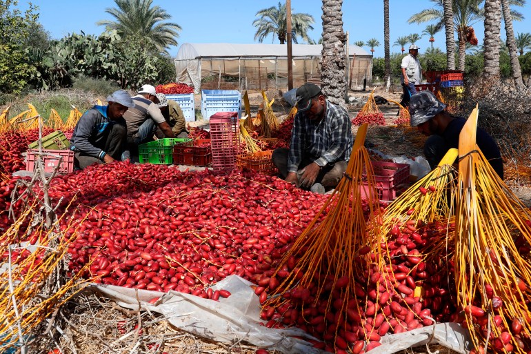
The satellite images below show the widespread destruction of farms, roads and homes in eastern Maghazi in the centre of Deir el-Balah.
Khan Younis
Khan Younis in the south used to produce the bulk of Gaza’s citrus, including oranges and grapefruits.
With its fertile soil and long hours of Mediterranean sunshine, it has the ideal climate as well as lots of space, being Gaza’s largest governorate – about 30 percent of the Strip’s 365sq km (141 sq miles).
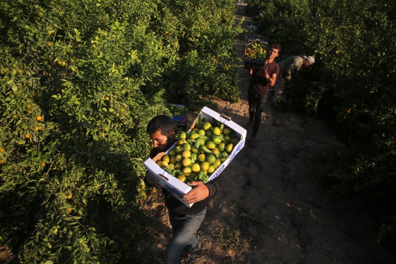
The satellite images below show how Israeli forces have decimated Khan Younis’s orchards and farmlands.
Rafah
Rafah is Gaza’s southernmost district, with a pre-war population of about 275,000 people.
Rafah is also the name of the crossing with Egypt which used to be a vital link between Gaza and the rest of the world before it was destroyed by Israel in May.
In the southeast of Rafah is the Karem Abu Salem (Kerem Shalom) crossing where goods grown or produced in Gaza were shipped out of the territory.
Before and after satellite imagery shows how Israeli forces have flattened vital fields in eastern Rafah