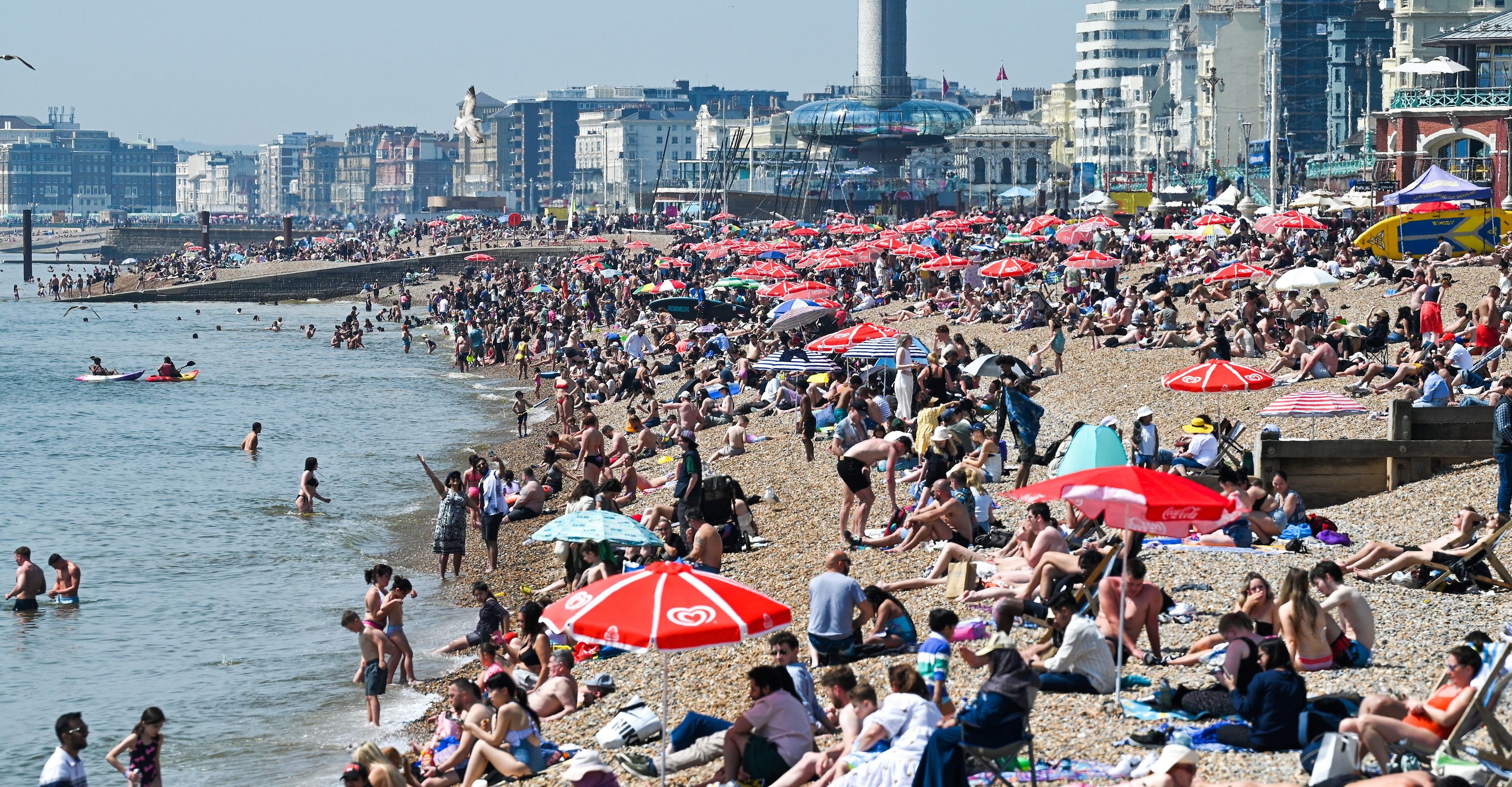
The Met Office says temperatures are expected to be balmy this weekend, and much of the UK will be able to enjoy the warmer spring weather.
But forecasters have warned it won’t hang around – and to make the most of it.
The Met said today will be mostly dry for much of the UK with the sun shining the most in the south.
And tomorrow will be much the same – with the mercury hitting a stunning 21C in London at 3pm.
The likes of Reading and Rochester will be making the most of a balmy 20C at the same time, while Manchester and Newtown are expected to soak in 19C conditions.
However, the weather will start to shift on Sunday – but it will still feel warm.
Met Office Deputy Chief Meteorologist Mark Sidaway said: “The Bank Holiday weekend will see some sunny spells and it will feel quite pleasant in the sunshine for many on Saturday in particular.
“Sunday and Bank Holiday Monday will likely see a return to sunshine and showers.
“Low pressure to the west is likely to push fronts into the UK on Sunday, these tending to break up and turn more showery in nature as they do so.
“We are likely to see some heavy, possibly thundery showers on both days, but there should still be some dry spells in between, and in any sunshine it will feel pleasantly warm.”
Forcaster Annie Shuttleworth added that Saturday is the day to get out and about as “things will likely to deteriorate as the weekend progresses”.
She said many southern areas will be hit with “quite persistent rain” on Sunday, and it’ll be a wet start for many.
Plus, there’s a chance of thunderstorms, too.
The forecast for Sunday, through to Tuesday, reads: “Rain pushing northeast on Sunday, with heavy thundery showers for some.
“Heavy showers in the northeast on Monday, but drier in the southwest. Remaining unsettled into Tuesday.”
The stunning sunny weather set for the next couple of days comes after a week of horror flooding, with schoolgirl Leah Harrison tragically being killed in a mudslide.
The 10-year-old sadly died after being caught up in the disaster at around 1.15pm in Carlton-in-Cleveland, near Middlesbrough on Wednesday.
North Yorkshire Police said the Year 6 pupil had died while on a guided walk as part of a school trip.
Her tragic death came after the Met Office put out weather warnings around flooding.
There were still alerts in place yesterday, with forecasters urging Brits not to travel.
Heavy flooding continued to wreak havoc across the nation, with roads and rail services severely impacted.
Thousands of commuters faced travel misery after a major train line between England and Scotland was closed due to flooding.
There were still a number of flood warnings in place, too.
Met Office’s forecast
Today:
A cloudy start for many with some light rain across the north. Turning showery with some being heavy in northern England and southern Scotland. Winds light for most and it will feel warm in the sunny spells in the south.
Tonight:
Staying cloudy across the north, with rain continuing to ease. Winds remaining light for most. Clear spells in the south allowing temperatures to dip and patches of fog to form.
Saturday:
A cool start with fog patches clearing, but lingering on some coasts. Widely dry with warm sunny spells. Showers in the east and rain arriving in the west later.
Outlook for Sunday to Tuesday:
Rain pushing northeast on Sunday, with heavy thundery showers for some. Heavy showers in the northeast on Monday, but drier in the southwest. Remaining unsettled into Tuesday.
Tuesday to Thursday:
For the rest of the week the south, especially the southeast looks as though it more favoured to see more in the way of dry weather, although even some rain or showers are likely from time to time. Areas of low pressure are more likely to track to the northwest of the UK so here it will likely continue unsettled with showers and some longer spells of rain which could be heavy at times. The northwest may also see some periods of strong winds. Temperatures are likely to reflect this, remaining close to or perhaps a little on the cool side across the northwest, whereas the south is likely to be a little warmer than average
Friday June 7 to Friday June 21:
The signal for any meaningful high (or low) pressure regime to become established remains elusive, which suggests that the weather could remain fairly changeable through June, with variations on what this will look like across the country. Signals for both temperature and rainfall indicate a ‘more-likely above average’ overall. This suggests that further rain or showers are likely, possibly heavy or thundery at times. As is normal for the time of year there is likely to be some spells of warm sunshine between these showers.


