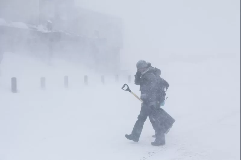
Blizzard conditions in the Sierra Nevada over the weekend left U.S. Interstates and commercial ski resorts closed and tens of thousands of people without power. Photo by Caroline Brehman/EPA
March 3 (UPI) — More than 15,000 homes and businesses remain without power Sunday as a ferocious winter storm blasted parts of California over the weekend.
The number is down from a high of 40,000 utilities, according to utilities tracker PowerOutage.us.
Some 6.5 million people remain under winter weather alerts across the Mountain West, and blizzard warnings are still in effect for the Sierra Nevada.
Whiteout conditions and hurricane-force winds closed a 70-mile stretch of Interstate 80 near the Nevada state line for more than a day, stranding travelers Friday night. Dangerous travel conditions are still in the forecast.
“Extremely heavy snowfall rates of 2-6 inches an hour combined with very strong winds exceeding 100 mph at times will maintain impossible travel conditions in the Sierra Nevada,” the Weather Prediction Center said.
The National Weather Service was warning of “high to extreme” avalanche danger Sunday afternoon in the Central Sierra and Greater Lake Tahoe region.
Between 5-12 feet of snow was forecast along the crest of the Sierra by late Sunday, with damaging wind gusts “possibly in excess of 75 mph” expected across the Intermountain West, according to the Weather Prediction Center.
“These winds will likely down trees and power lines, resulting in widespread power outages. Moreover, cooler temperatures will usher into the West behind the initial front, lowering the snow levels down into many valleys,” the prediction center said.
The severe weather closed several ski resorts, including Palisades Tahoe, Sierra at Tahoe and Mammoth.
“The intensity of the snow and high winds along the Sierra Nevada as well as across the Intermountain West will gradually wane through Monday. However, reinforcing upper-level energies arriving from the Pacific [will] keep the unstable cold air mass in place across a large section of the western US,” the National Weather Service said in its forecast discussion Sunday afternoon.
The highway patrol in Truckee, Calif., posted a video Sunday morning showing the snowy conditions along a stretch of U.S. Interstate 80, part of which was closed as a result of the dangerous weather.
Heavy mountain snow will stretch east into the central Rockies over the next few days even as the storm loses intensity. But forecasters predict another front is right behind it.
