Another tropical low is gaining strength in the Coral Sea, with forecasters warning it could turn into a cyclone by late next week.
If a cyclone develops it would be Queensland’s third in as many months — and be named Lincoln.
The Bureau of Meteorology (BOM) said north and far north Queensland would be in the cyclone’s path, although for another one to evolve so soon after Kirrily would be “unusual”.
“If it approaches the coast, we could see some impacts north of about Mackay, including Townsville and possibly Cairns,” senior forecaster Shane Kennedy said.
“We may start to see some impacts beginning from around Thursday. So that includes increasing rainfall and increasing winds.”
But whether or not another cyclone develops, Mr Kennedy said Queensland was in for more wild weather.

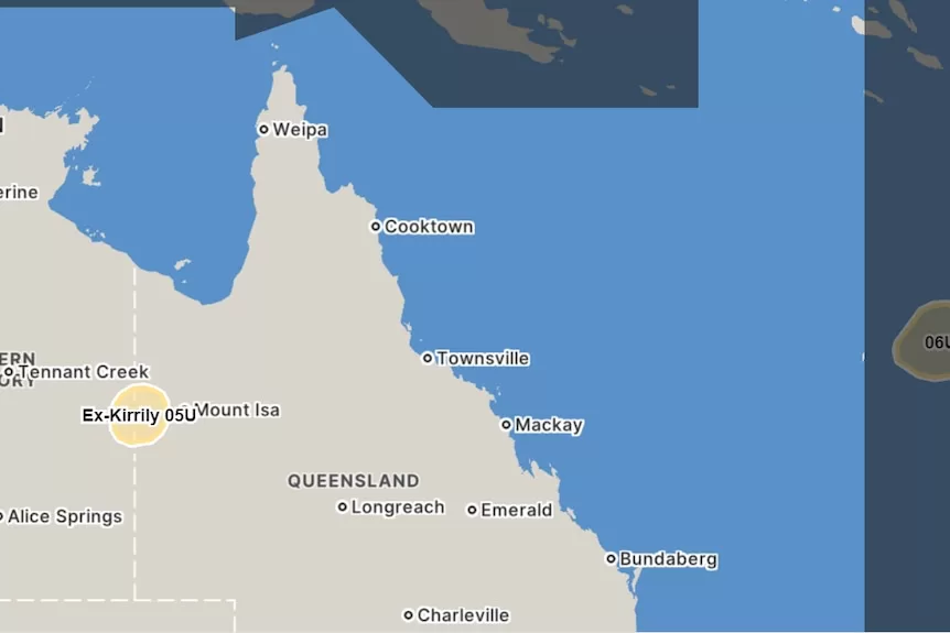
Kirrily crossed the coast as a category two system just north of Townsville less than a week and a half ago.
The latest tropical low is currently moving through warm waters near New Caledonia.
It’s expected to turn west and begin tracking towards the Queensland coast in the coming days.
“There’s a moderate 25 to 35 per cent chance of [the system] becoming a tropical cyclone from Thursday,” said Mr Kennedy.
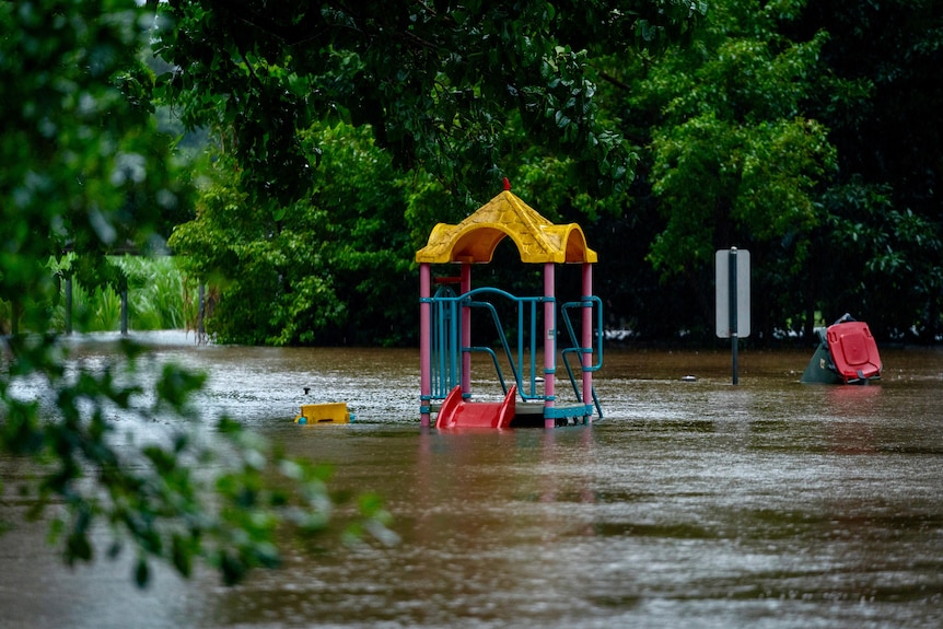
Meanwhile, Kirrily is still active over north-west Queensland, bringing deluges to regions still recovering from ex-cyclone Jasper, which crossed the coast in late December.
The system brought hundreds of millilitres of rain to North Queensland communities as it tracked west into the Gulf.
Kirrily is still active and is expected to move south towards the New South Wales border next week.